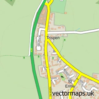
This Probus street map is a detailed vector street map covering a 750m x 750m area. Select a larger area to create and download your own vector street map of Probus.
The 750-metre map sample for Probus covers 357 mapped buildings and approximately 14.5 km of road detail, of which 16 named roads are named. The immediate area includes 1 school, 1 GP surgery, 1 pub and 2 MOT stations within 2 miles. The wider area around Probus features 3 food and drink venues. To create a larger or custom map of Probus, the map builder lets you define your own coverage area and download editable SVG, PDF and PNG files.
Create a larger editable map of Probus
Choose any area you need and generate a high-quality vector map instantly. Perfect for print, planning, design, business and personal use.

This Probus street map in Cornwall is available as downloadable SVG, PDF and PNG map files, or as a printed map for planning, business, display, education, local information and design work. You can also create a larger custom map area using the map selector.
What this Probus map sample shows
Probus lies within Probus Cp parish, part of Probus, Tregony And Grampound ward in the Cornwall local authority area. The postcode geography for this area includes the TR postcode area, the TR2 postcode district and the TR2 4 postcode sector. Residents fall under the Nhs Cornwall And The Isles Of Scilly Integrated Care Board for NHS services.
Local features near Probus
Within 2 milesAmenities and services in and around Probus.
Administrative and postcode information for Probus
Probus lies within Probus Cp parish, part of Probus, Tregony And Grampound ward in the Cornwall local authority area. The postcode geography for this area includes the TR postcode area, the TR2 postcode district and the TR2 4 postcode sector. Residents fall under the Nhs Cornwall And The Isles Of Scilly Integrated Care Board for NHS services.
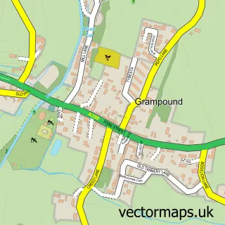
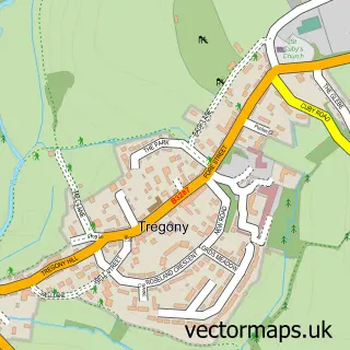
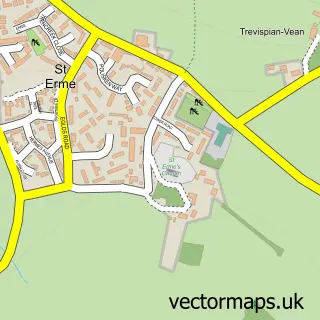
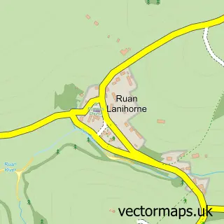
Nearby street map samples around Probus
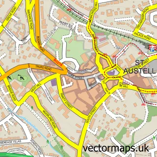

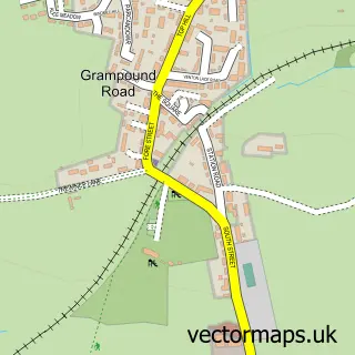
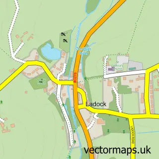
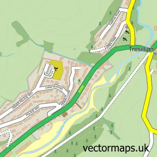
More street maps in Cornwall
750 metre map area coverage
Boundary, postcode and point of interest information for the 750m x 750m rectangle centred on this sample map.
Boundaries containing map centre
Constituency: Truro and Falmouth Co Const
District: Cornwall
Icb: NHS Cornwall and the Isles of Scilly ICB
Parish: Probus CP
Police Force: devon and cornwall
Postcode District: TR2
Postcode Sector: TR2 4
Nearby boundaries intersecting sample
No additional intersecting boundaries found.
Postcode coverage
POI category counts
Convenience Store: 3
Bakery: 2
Church Cathedral: 2
Doctor: 2
Swimming Instructor: 2
Anglican Church: 1
Atms: 1
Auto Detailing: 1
Automotive Repair: 1
Bed And Breakfast: 1
Sample points of interest
- Probus: St Probus & St Grace
- Spar (Wessex Retail Ltd) Probus (SWAP), Probus
- SGT Details Luxury Valeting and Detailing Services
- S J Grigg
- Icing On The Cake at Trenwith Sq
- Swirls & Pearls Cakes
- Waterlily Holiday Cottage
- Ladock Sub Post Office & Shop
- Time Cafe & Gallery
- Chinese Lantern
- Probus Parish Church
- St Probus and St Grace Church
Create a larger editable map of Probus
This sample shows only a 750 metre area. To create a larger map of Probus, use our map builder to choose your own coverage area, add titles and download editable SVG, PDF and PNG files.
Create a custom map of Probus