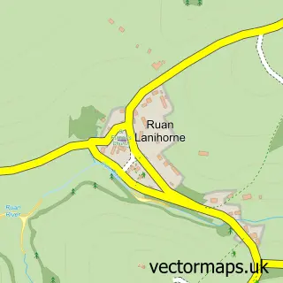
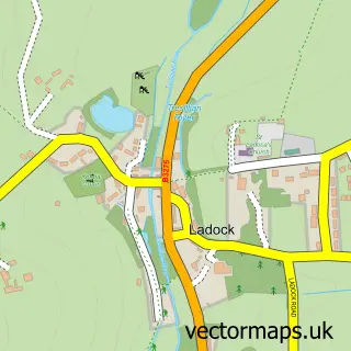
This Tregony street map is a detailed vector street map covering a 750m x 750m area. Select a larger area to create and download your own vector street map of Tregony.
The 750-metre map sample for Tregony covers 267 mapped buildings and approximately 11.2 km of road detail, of which 16 named roads are named. The immediate area includes 1 school, 1 pub and 2 MOT stations within 2 miles. The wider area around Tregony features 2 food and drink venues and 1 hotel. To create a larger or custom map of Tregony, the map builder lets you define your own coverage area and download editable SVG, PDF and PNG files.
Create a larger editable map of Tregony
Choose any area you need and generate a high-quality vector map instantly. Perfect for print, planning, design, business and personal use.

This Tregony street map in Cornwall is available as downloadable SVG, PDF and PNG map files, or as a printed map for planning, business, display, education, local information and design work. You can also create a larger custom map area using the map selector.
What this Tregony map sample shows
Tregony lies within Tregony With Cuby Cp parish, part of Probus, Tregony And Grampound ward in the Cornwall local authority area. The postcode geography for this area includes the TR postcode area, the TR2 postcode district and the TR2 5 postcode sector. Residents fall under the Nhs Cornwall And The Isles Of Scilly Integrated Care Board for NHS services.
Local features near Tregony
Within 2 milesAmenities and services in and around Tregony.
Administrative and postcode information for Tregony
Tregony lies within Tregony With Cuby Cp parish, part of Probus, Tregony And Grampound ward in the Cornwall local authority area. The postcode geography for this area includes the TR postcode area, the TR2 postcode district and the TR2 5 postcode sector. Residents fall under the Nhs Cornwall And The Isles Of Scilly Integrated Care Board for NHS services.
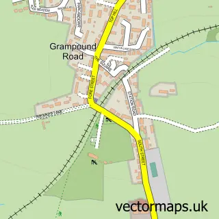
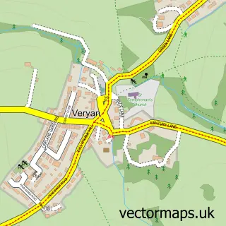
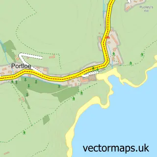
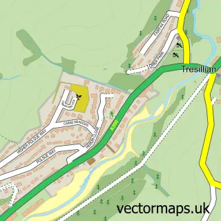
Nearby street map samples around Tregony

More street maps in Cornwall
750 metre map area coverage
Boundary, postcode and point of interest information for the 750m x 750m rectangle centred on this sample map.
Boundaries containing map centre
Constituency: Truro and Falmouth Co Const
District: Cornwall
Icb: NHS Cornwall and the Isles of Scilly ICB
Parish: Tregony with Cuby CP
Police Force: devon and cornwall
Postcode District: TR2
Postcode Sector: TR2 5
Nearby boundaries intersecting sample
No additional intersecting boundaries found.
Postcode coverage
POI category counts
Assisted Living Facility: 2
Building Supply Store: 2
Convenience Store: 2
Dentist: 2
Doctor: 2
Electrician: 2
Religious Organization: 2
Anglican Church: 1
Art Gallery: 1
Beauty Salon: 1
Sample points of interest
- Tregony w St Cuby: St Cuby
- Richard Cliff-Watercolour Art
- Roseland Court
- Roseland Court Care Home In Truro
- Just Perfection
- Glebe Landscape & Garden Services
- P Cope Construction Ltd
- St Cuby's Church
- Cornwall Cleaning Limited
- Beckoffi
- Tregony Village Hall
- Londis
Create a larger editable map of Tregony
This sample shows only a 750 metre area. To create a larger map of Tregony, use our map builder to choose your own coverage area, add titles and download editable SVG, PDF and PNG files.
Create a custom map of Tregony