This Veryan street map is a detailed vector street map covering a 750m x 750m area. Select a larger area to create and download your own vector street map of Veryan.
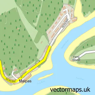
The 750-metre map sample for Veryan covers 169 mapped buildings and approximately 10.9 km of road detail, of which 11 named roads are named. The immediate area includes 1 school, 1 pub and 1 MOT station within 2 miles. The wider area around Veryan features 2 food and drink venues, 2 hotels and 1 campsite within 2 miles. To create a larger or custom map of Veryan, the map builder lets you define your own coverage area and download editable SVG, PDF and PNG files.
Create a larger editable map of Veryan
Choose any area you need and generate a high-quality vector map instantly. Perfect for print, planning, design, business and personal use.

This Veryan street map in Cornwall is available as downloadable SVG, PDF and PNG map files, or as a printed map for planning, business, display, education, local information and design work. You can also create a larger custom map area using the map selector.
What this Veryan map sample shows
Veryan lies within Veryan Cp parish, part of Roseland ward in the Cornwall local authority area. The postcode geography for this area includes the TR postcode area, the TR2 postcode district and the TR2 5 postcode sector. Residents fall under the Nhs Cornwall And The Isles Of Scilly Integrated Care Board for NHS services.
Local features near Veryan
Within 2 milesAmenities and services in and around Veryan.
Administrative and postcode information for Veryan
Veryan lies within Veryan Cp parish, part of Roseland ward in the Cornwall local authority area. The postcode geography for this area includes the TR postcode area, the TR2 postcode district and the TR2 5 postcode sector. Residents fall under the Nhs Cornwall And The Isles Of Scilly Integrated Care Board for NHS services.
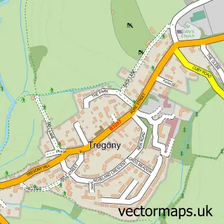
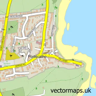
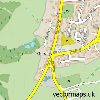
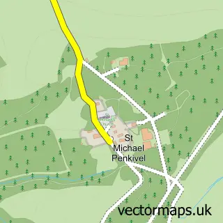
Nearby street map samples around Veryan

More street maps in Cornwall
750 metre map area coverage
Boundary, postcode and point of interest information for the 750m x 750m rectangle centred on this sample map.
Boundaries containing map centre
Constituency: Truro and Falmouth Co Const
District: Cornwall
Icb: NHS Cornwall and the Isles of Scilly ICB
Parish: Veryan CP
Police Force: devon and cornwall
Postcode District: TR2
Postcode Sector: TR2 5
Nearby boundaries intersecting sample
No additional intersecting boundaries found.
Postcode coverage
POI category counts
Anglican Church: 2
Bed And Breakfast: 2
Community Center: 2
Hotel: 2
Arts And Crafts: 1
Beach: 1
Beer Bar: 1
Building Supply Store: 1
Charity Organization: 1
Cottage: 1
Sample points of interest
- Veryan Church
- Veryan: St Symphorian
- About The Grain
- Tavern Beach St Mawes
- Elerkey Guest House
- Treverbyn House
- New inn veryan
- Robert Field Landscapes
- Victoria County History
- Veryan Market
- Veryan Parish Hall
- Round House East
Create a larger editable map of Veryan
This sample shows only a 750 metre area. To create a larger map of Veryan, use our map builder to choose your own coverage area, add titles and download editable SVG, PDF and PNG files.
Create a custom map of Veryan