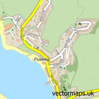
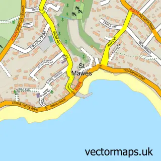
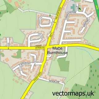
This Falmouth street map is a detailed vector street map covering a 750m x 750m area. Select a larger area to create and download your own vector street map of Falmouth.
The 750-metre map sample for Falmouth covers 218 mapped buildings and approximately 13.6 km of road detail, of which 39 named roads are named. The immediate area includes 4 GP surgeries within 2 miles, 22 pubs and 6 MOT stations within 2 miles. The wider area around Falmouth features 3 tourism points of interest, 67 food and drink venues and 7 hotels. To create a larger or custom map of Falmouth, the map builder lets you define your own coverage area and download editable SVG, PDF and PNG files.
Create a larger editable map of Falmouth
Choose any area you need and generate a high-quality vector map instantly. Perfect for print, planning, design, business and personal use.

This Falmouth street map in Cornwall is available as downloadable SVG, PDF and PNG map files, or as a printed map for planning, business, display, education, local information and design work. You can also create a larger custom map area using the map selector.
What this Falmouth map sample shows
Falmouth lies within Falmouth Cp parish, part of Falmouth Smithick ward in the Cornwall local authority area. The postcode geography for this area includes the TR postcode area, the TR11 postcode district and the TR11 3 postcode sector. Residents fall under the Nhs Cornwall And The Isles Of Scilly Integrated Care Board for NHS services.
Local features near Falmouth
Within 2 milesAmenities and services in and around Falmouth.
Administrative and postcode information for Falmouth
Falmouth lies within Falmouth Cp parish, part of Falmouth Smithick ward in the Cornwall local authority area. The postcode geography for this area includes the TR postcode area, the TR11 postcode district and the TR11 3 postcode sector. Residents fall under the Nhs Cornwall And The Isles Of Scilly Integrated Care Board for NHS services.
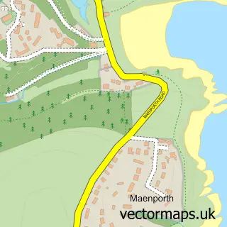
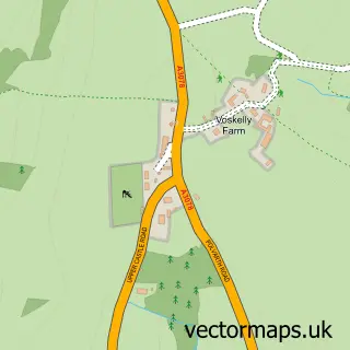
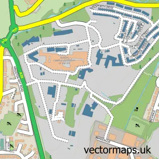
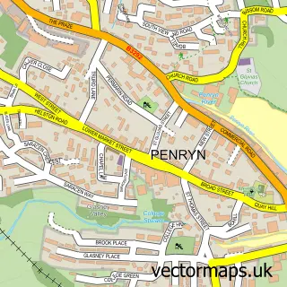
Nearby street map samples around Falmouth

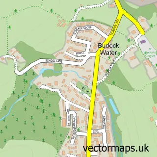
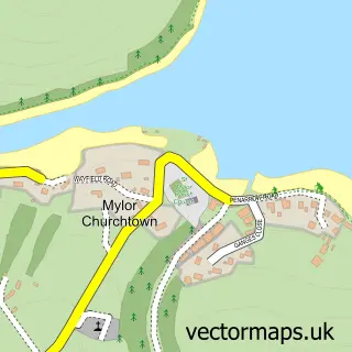
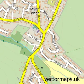
More street maps in Cornwall
750 metre map area coverage
Boundary, postcode and point of interest information for the 750m x 750m rectangle centred on this sample map.
Boundaries containing map centre
Constituency: Truro and Falmouth Co Const
District: Cornwall
Icb: NHS Cornwall and the Isles of Scilly ICB
Parish: Falmouth CP
Police Force: devon and cornwall
Postcode District: TR11
Postcode Sector: TR11 3
Nearby boundaries intersecting sample
Postcode Sector: TR11 2
Postcode coverage
POI category counts
Clothing Store: 34
Pub: 22
Bar: 18
Restaurant: 18
Art Gallery: 17
Flowers And Gifts Shop: 15
Cafe: 14
Coffee Shop: 14
Barber: 11
Hair Salon: 11
Sample points of interest
- The View
- Certax Accounting
- Hodgsons Chartered Accountants
- Matthews Cooper
- Cornish Day Sailing
- Absolute Design
- Bethia Naughton-Rumbo
- Premier Office Poster Services
- Stranger Collective
- Church of King Charles the Martyr
- KCM Falmouth
- Antics of Falmouth
Create a larger editable map of Falmouth
This sample shows only a 750 metre area. To create a larger map of Falmouth, use our map builder to choose your own coverage area, add titles and download editable SVG, PDF and PNG files.
Create a custom map of Falmouth