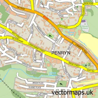
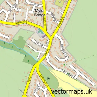
This Tremough street map is a detailed vector street map covering a 750m x 750m area. Select a larger area to create and download your own vector street map of Tremough.
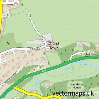
The 750-metre map sample for Tremough covers 169 mapped buildings and approximately 16.8 km of road detail, of which 16 named roads are named. The immediate area includes 1 school, 2 GP surgeries within 2 miles and 7 MOT stations within 2 miles. The wider area around Tremough features 2 tourism points of interest, 1 food and drink venue and 2 hotels. To create a larger or custom map of Tremough, the map builder lets you define your own coverage area and download editable SVG, PDF and PNG files.
Create a larger editable map of Tremough
Choose any area you need and generate a high-quality vector map instantly. Perfect for print, planning, design, business and personal use.

This Tremough street map in Cornwall is available as downloadable SVG, PDF and PNG map files, or as a printed map for planning, business, display, education, local information and design work. You can also create a larger custom map area using the map selector.
What this Tremough map sample shows
Tremough lies within Mabe Cp parish, part of Mabe, Perranarworthal And St Gluvias ward in the Cornwall local authority area. The postcode geography for this area includes the TR postcode area, the TR10 postcode district and the TR10 9 postcode sector. Residents fall under the Nhs Cornwall And The Isles Of Scilly Integrated Care Board for NHS services.
Local features near Tremough
Within 2 milesAmenities and services in and around Tremough.
Administrative and postcode information for Tremough
Tremough lies within Mabe Cp parish, part of Mabe, Perranarworthal And St Gluvias ward in the Cornwall local authority area. The postcode geography for this area includes the TR postcode area, the TR10 postcode district and the TR10 9 postcode sector. Residents fall under the Nhs Cornwall And The Isles Of Scilly Integrated Care Board for NHS services.
Nearby street map samples around Tremough

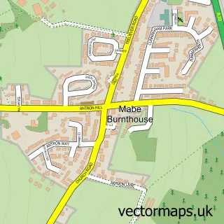
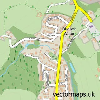
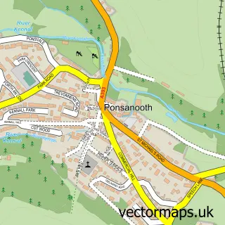
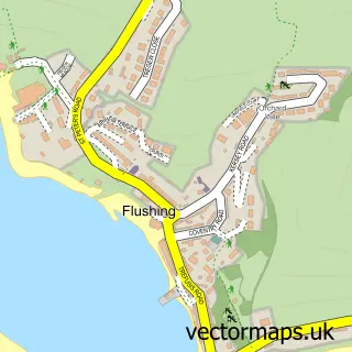
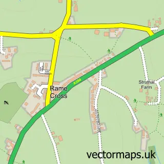
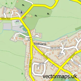
More street maps in Cornwall
750 metre map area coverage
Boundary, postcode and point of interest information for the 750m x 750m rectangle centred on this sample map.
Boundaries containing map centre
Constituency: Camborne and Redruth Co Const
District: Cornwall
Icb: NHS Cornwall and the Isles of Scilly ICB
Parish: Mabe CP
Police Force: devon and cornwall
Postcode District: TR10
Postcode Sector: TR10 9
Nearby boundaries intersecting sample
Constituency: Truro and Falmouth Co Const
Parish: Penryn CP
Postcode Sector: TR10 8
Postcode coverage
POI category counts
College University: 13
Professional Services: 5
Advertising Agency: 4
Community Services Non Profits: 4
Financial Service: 4
Gym: 4
Bar: 2
Campus Building: 2
Counseling And Mental Health: 2
Engineering Services: 2
Sample points of interest
- Glasney View
- FireText - SMS Marketing
- Firetext
- Minchin & Grimshaw
- Vital Spark Creative
- GSF Car Parts (Penryn)
- D&T Motors
- The Rebel Brewing Company
- The Stannary Bar
- Seaware Ltd
- Rebel Brewery Ltd
- Koofi
Create a larger editable map of Tremough
This sample shows only a 750 metre area. To create a larger map of Tremough, use our map builder to choose your own coverage area, add titles and download editable SVG, PDF and PNG files.
Create a custom map of Tremough