This Stithians street map is a detailed vector street map covering a 750m x 750m area. Select a larger area to create and download your own vector street map of Stithians.
The 750-metre map sample for Stithians covers 278 mapped buildings and approximately 12.7 km of road detail, of which 21 named roads are named. The immediate area includes 1 school and 4 MOT stations within 2 miles. The wider area around Stithians features 2 hotels and 3 campsites within 2 miles. To create a larger or custom map of Stithians, the map builder lets you define your own coverage area and download editable SVG, PDF and PNG files.
Create a larger editable map of Stithians
Choose any area you need and generate a high-quality vector map instantly. Perfect for print, planning, design, business and personal use.

This Stithians street map in Cornwall is available as downloadable SVG, PDF and PNG map files, or as a printed map for planning, business, display, education, local information and design work. You can also create a larger custom map area using the map selector.
What this Stithians map sample shows
Stithians lies within Stithians Cp parish, part of Lanner And Stithians ward in the Cornwall local authority area. The postcode geography for this area includes the TR postcode area, the TR3 postcode district and the TR3 7 postcode sector. Residents fall under the Nhs Cornwall And The Isles Of Scilly Integrated Care Board for NHS services.
Local features near Stithians
Within 2 milesAmenities and services in and around Stithians.
Administrative and postcode information for Stithians
Stithians lies within Stithians Cp parish, part of Lanner And Stithians ward in the Cornwall local authority area. The postcode geography for this area includes the TR postcode area, the TR3 postcode district and the TR3 7 postcode sector. Residents fall under the Nhs Cornwall And The Isles Of Scilly Integrated Care Board for NHS services.
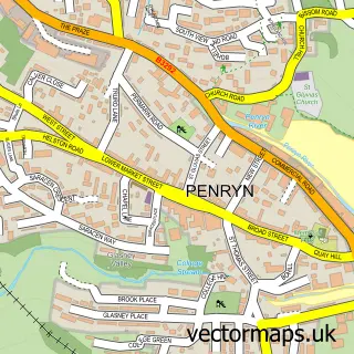
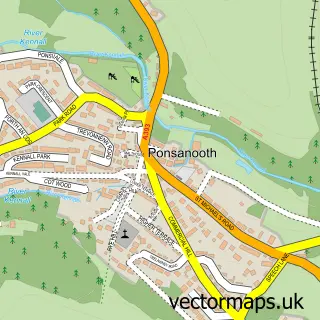
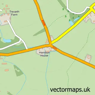
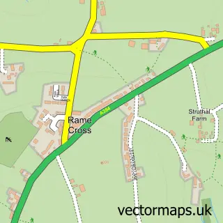
Nearby street map samples around Stithians

More street maps in Cornwall
750 metre map area coverage
Boundary, postcode and point of interest information for the 750m x 750m rectangle centred on this sample map.
Boundaries containing map centre
Constituency: Camborne and Redruth Co Const
District: Cornwall
Icb: NHS Cornwall and the Isles of Scilly ICB
Parish: Stithians CP
Police Force: devon and cornwall
Postcode District: TR3
Postcode Sector: TR3 7
Nearby boundaries intersecting sample
No additional intersecting boundaries found.
Postcode coverage
POI category counts
Convenience Store: 2
Doctor: 2
Electrician: 2
Elementary School: 2
Holiday Rental Home: 2
Hotel: 2
Anglican Church: 1
Beauty Salon: 1
Bounce House Rental: 1
Carpet Store: 1
Sample points of interest
- Stithians: St Stythians
- LDR Aesthetics
- Fritzs Entertainments
- Liam Wildman Carpet and Vinyl Fitters
- Stithians Church
- The Stithians Centre
- Cherry Picker Cornwall
- Londis
- SPAR
- The Penryn Surgery
- The Stithians Surgery
- AlphaOne Electrics Ltd.
Create a larger editable map of Stithians
This sample shows only a 750 metre area. To create a larger map of Stithians, use our map builder to choose your own coverage area, add titles and download editable SVG, PDF and PNG files.
Create a custom map of Stithians