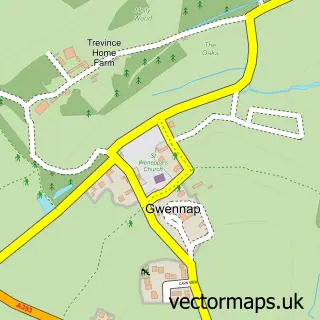
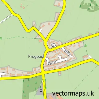
This Comford street map is a detailed vector street map covering a 750m x 750m area. Select a larger area to create and download your own vector street map of Comford.
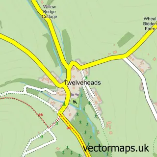
The 750-metre map sample for Comford covers 43 mapped buildings and approximately 5.9 km of road detail. The immediate area includes 1 pub and 6 MOT stations within 2 miles. The wider area around Comford features 1 tourism point of interest, 1 food and drink venue and 2 campsites within 2 miles. To create a larger or custom map of Comford, the map builder lets you define your own coverage area and download editable SVG, PDF and PNG files.
Create a larger editable map of Comford
Choose any area you need and generate a high-quality vector map instantly. Perfect for print, planning, design, business and personal use.

This Comford street map in Cornwall is available as downloadable SVG, PDF and PNG map files, or as a printed map for planning, business, display, education, local information and design work. You can also create a larger custom map area using the map selector.
What this Comford map sample shows
Comford lies within Gwennap Cp parish, part of Carharrack, Gwennap And St Day ward in the Cornwall local authority area. The postcode geography for this area includes the TR postcode area, the TR16 postcode district and the TR16 6 postcode sector. Residents fall under the Nhs Cornwall And The Isles Of Scilly Integrated Care Board for NHS services.
Local features near Comford
Within 2 milesAmenities and services in and around Comford.
Administrative and postcode information for Comford
Comford lies within Gwennap Cp parish, part of Carharrack, Gwennap And St Day ward in the Cornwall local authority area. The postcode geography for this area includes the TR postcode area, the TR16 postcode district and the TR16 6 postcode sector. Residents fall under the Nhs Cornwall And The Isles Of Scilly Integrated Care Board for NHS services.
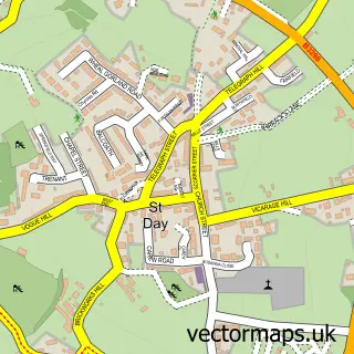
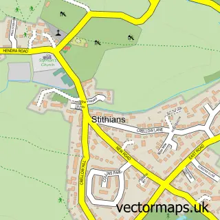
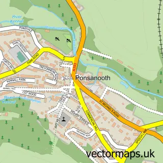
Nearby street map samples around Comford
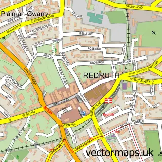

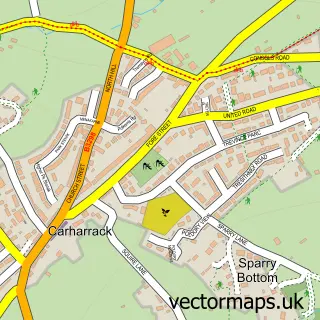
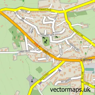
More street maps in Cornwall
750 metre map area coverage
Boundary, postcode and point of interest information for the 750m x 750m rectangle centred on this sample map.
Boundaries containing map centre
Constituency: Camborne and Redruth Co Const
District: Cornwall
Icb: NHS Cornwall and the Isles of Scilly ICB
Parish: Gwennap CP
Police Force: devon and cornwall
Postcode District: TR16
Postcode Sector: TR16 6
Nearby boundaries intersecting sample
Parish: Lanner CP
Postcode coverage
POI category counts
Accountant: 1
Bar: 1
Car Dealer: 1
Landmark And Historical Building: 1
Pub: 1
Sample points of interest
- Simply Accounts
- Fox & Hounds
- Nigels Cars
- Comford
- The Fox and Hounds Comford
Create a larger editable map of Comford
This sample shows only a 750 metre area. To create a larger map of Comford, use our map builder to choose your own coverage area, add titles and download editable SVG, PDF and PNG files.
Create a custom map of Comford