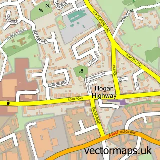
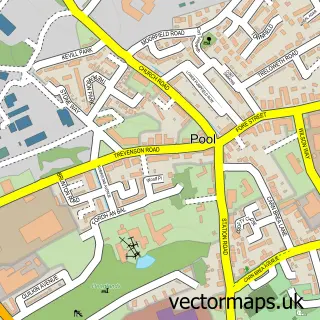
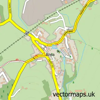
This Redruth street map is a detailed vector street map covering a 750m x 750m area. Select a larger area to create and download your own vector street map of Redruth.
The 750-metre map sample for Redruth covers 465 mapped buildings and approximately 22.5 km of road detail, of which 67 named roads are named. The immediate area includes 1 school, 1 railway station, 1 GP surgery, with 3 within 2 miles and 4 pubs among other local services. The wider area around Redruth features 5 tourism points of interest, 19 food and drink venues and 2 campsites within 2 miles. To create a larger or custom map of Redruth, the map builder lets you define your own coverage area and download editable SVG, PDF and PNG files.
Create a larger editable map of Redruth
Choose any area you need and generate a high-quality vector map instantly. Perfect for print, planning, design, business and personal use.

This Redruth street map in Cornwall is available as downloadable SVG, PDF and PNG map files, or as a printed map for planning, business, display, education, local information and design work. You can also create a larger custom map area using the map selector.
What this Redruth map sample shows
Redruth lies within Redruth Cp parish, part of Redruth North ward in the Cornwall local authority area. The postcode geography for this area includes the TR postcode area, the TR15 postcode district and the TR15 1 postcode sector. Residents fall under the Nhs Cornwall And The Isles Of Scilly Integrated Care Board for NHS services.
Local features near Redruth
Within 2 milesAmenities and services in and around Redruth.
Administrative and postcode information for Redruth
The local authority covering Redruth is Cornwall, within the county of Cornwall. The settlement lies within Redruth North ward and Redruth Cp civil parish. The TR15 postcode district and TR15 1 postcode sector serve the immediate area. NHS provision in the area is delivered through Royal Cornwall Hospitals Nhs Trust.
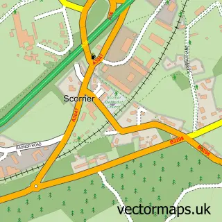
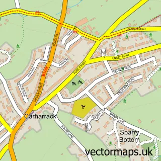
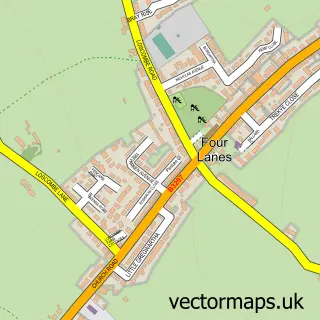
Nearby street map samples around Redruth

More street maps in Cornwall
750 metre map area coverage
Boundary, postcode and point of interest information for the 750m x 750m rectangle centred on this sample map.
Boundaries containing map centre
Constituency: Camborne and Redruth Co Const
District: Cornwall
Icb: NHS Cornwall and the Isles of Scilly ICB
Parish: Redruth CP
Police Force: devon and cornwall
Postcode District: TR15
Postcode Sector: TR15 1
Nearby boundaries intersecting sample
Postcode Sector: TR15 2
Postcode coverage
POI category counts
Beauty Salon: 15
Professional Services: 12
Tattoo And Piercing: 10
Real Estate Agent: 9
Barber: 8
Cafe: 8
Banks: 7
Community Services Non Profits: 7
Printing Services: 7
Bar: 6
Sample points of interest
- Catherine Bennett Chartered Accountant
- Cornwall Community Accountancy Service
- Walker Moyle Chartered Accountants
- Stafford Moor Fisheries - Dolton. Devon
- EMS Injury and Wellness
- The Fine Balance
- Boosters Limited
- Halo Print and Design
- Sanders Design
- Best Kebab
- Bastion's
- Phoenix Health Care Services
Create a larger editable map of Redruth
This sample shows only a 750 metre area. To create a larger map of Redruth, use our map builder to choose your own coverage area, add titles and download editable SVG, PDF and PNG files.
Create a custom map of Redruth