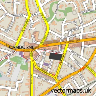
This Brea street map is a detailed vector street map covering a 750m x 750m area. Select a larger area to create and download your own vector street map of Brea.
The 750-metre map sample for Brea covers 176 mapped buildings and approximately 9.9 km of road detail, of which 13 named roads are named. The immediate area includes 2 GP surgeries within 2 miles and 16 MOT stations within 2 miles. The wider area around Brea features 3 tourism points of interest and 1 campsite within 2 miles. To create a larger or custom map of Brea, the map builder lets you define your own coverage area and download editable SVG, PDF and PNG files.
Create a larger editable map of Brea
Choose any area you need and generate a high-quality vector map instantly. Perfect for print, planning, design, business and personal use.

This Brea street map in Cornwall is available as downloadable SVG, PDF and PNG map files, or as a printed map for planning, business, display, education, local information and design work. You can also create a larger custom map area using the map selector.
What this Brea map sample shows
Brea lies within Camborne Cp parish, part of Camborne Trelowarren ward in the Cornwall local authority area. The postcode geography for this area includes the TR postcode area, the TR14 postcode district and the TR14 8 postcode sector. Residents fall under the Nhs Cornwall And The Isles Of Scilly Integrated Care Board for NHS services.
Local features near Brea
Within 2 milesAmenities and services in and around Brea.
Administrative and postcode information for Brea
Brea lies within Camborne Cp parish, part of Camborne Trelowarren ward in the Cornwall local authority area. The postcode geography for this area includes the TR postcode area, the TR14 postcode district and the TR14 8 postcode sector. Residents fall under the Nhs Cornwall And The Isles Of Scilly Integrated Care Board for NHS services.
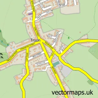
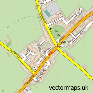
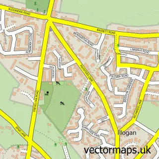
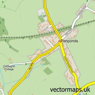
Nearby street map samples around Brea

More street maps in Cornwall
750 metre map area coverage
Boundary, postcode and point of interest information for the 750m x 750m rectangle centred on this sample map.
Boundaries containing map centre
Constituency: Camborne and Redruth Co Const
District: Cornwall
Icb: NHS Cornwall and the Isles of Scilly ICB
Parish: Camborne CP
Police Force: devon and cornwall
Postcode District: TR14
Postcode Sector: TR14 9
Nearby boundaries intersecting sample
Parish: Carn Brea CP
Postcode District: TR15
Postcode Sector: TR14 7, TR14 8, TR15 3
Postcode coverage
POI category counts
Landmark And Historical Building: 2
Building Contractor: 1
Campground: 1
Carpenter: 1
Charity Organization: 1
Construction Services: 1
Event Planning: 1
Hvac Services: 1
Motorcycle Dealer: 1
Perfume Store: 1
Sample points of interest
- Sunshine Blinds & Awnings
- Arkham Meadows Campsite
- Jacobs Ark
- Safe Haven
- HBM Builders
- Enchanted Ponies
- LJR Refrigeration and Air Conditioning
- Brea, Cornwall
- Higher Brea
- Martins Motorcycles
- T L C In A Bottle Co. Uk
- Kenwyn Parish Council
Create a larger editable map of Brea
This sample shows only a 750 metre area. To create a larger map of Brea, use our map builder to choose your own coverage area, add titles and download editable SVG, PDF and PNG files.
Create a custom map of Brea