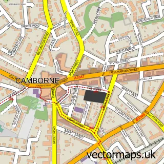
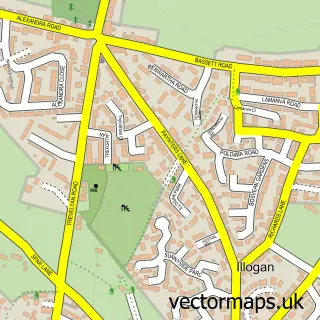
This Pool street map is a detailed vector street map covering a 750m x 750m area. Select a larger area to create and download your own vector street map of Pool.
The 750-metre map sample for Pool covers 410 mapped buildings and approximately 19.2 km of road detail, of which 29 named roads are named. The immediate area includes 1 school, 1 GP surgery, with 4 within 2 miles, 1 pub and 1 MOT station, with 17 within 2 miles. The wider area around Pool features 3 tourism points of interest, 5 food and drink venues and 1 campsite within 2 miles. To create a larger or custom map of Pool, the map builder lets you define your own coverage area and download editable SVG, PDF and PNG files.
Create a larger editable map of Pool
Choose any area you need and generate a high-quality vector map instantly. Perfect for print, planning, design, business and personal use.

This Pool street map in Cornwall is available as downloadable SVG, PDF and PNG map files, or as a printed map for planning, business, display, education, local information and design work. You can also create a larger custom map area using the map selector.
What this Pool map sample shows
Pool lies within Carn Brea Cp parish, part of Pool And Tehidy ward in the Cornwall local authority area. The postcode geography for this area includes the TR postcode area, the TR15 postcode district and the TR15 3 postcode sector. Residents fall under the Nhs Cornwall And The Isles Of Scilly Integrated Care Board for NHS services.
Local features near Pool
Within 2 milesAmenities and services in and around Pool.
Administrative and postcode information for Pool
Pool lies within Carn Brea Cp parish, part of Pool And Tehidy ward in the Cornwall local authority area. The postcode geography for this area includes the TR postcode area, the TR15 postcode district and the TR15 3 postcode sector. Residents fall under the Nhs Cornwall And The Isles Of Scilly Integrated Care Board for NHS services.
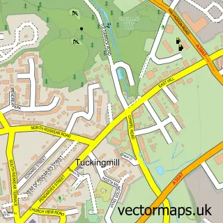
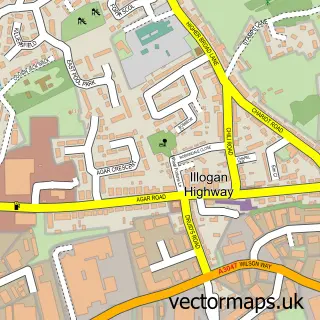
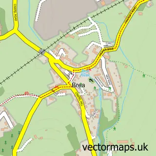
Nearby street map samples around Pool

More street maps in Cornwall
750 metre map area coverage
Boundary, postcode and point of interest information for the 750m x 750m rectangle centred on this sample map.
Boundaries containing map centre
Constituency: Camborne and Redruth Co Const
District: Cornwall
Icb: NHS Cornwall and the Isles of Scilly ICB
Parish: Carn Brea CP
Police Force: devon and cornwall
Postcode District: TR15
Postcode Sector: TR15 3
Nearby boundaries intersecting sample
No additional intersecting boundaries found.
Postcode coverage
POI category counts
Professional Services: 7
Financial Service: 6
Beauty Salon: 5
Bakery: 3
Charity Organization: 3
Home Health Care: 3
Martial Arts Club: 3
Veterinarian: 3
Accountant: 2
Arts And Crafts: 2
Sample points of interest
- AW Accountants
- Catherine Bennett Chartered Accountants
- LESW (Live Events South West)
- Trevenson Church, Pool
- Knitcraft
- Westcountry Design
- Halfords
- Cornwall Television Services
- Happy Energy Solutions Ltd.
- Rowe's
- The Cornish Oven
- W C Rowe
Create a larger editable map of Pool
This sample shows only a 750 metre area. To create a larger map of Pool, use our map builder to choose your own coverage area, add titles and download editable SVG, PDF and PNG files.
Create a custom map of Pool