This Portreath street map is a detailed vector street map covering a 750m x 750m area. Select a larger area to create and download your own vector street map of Portreath.
The 750-metre map sample for Portreath covers 196 mapped buildings and approximately 11.6 km of road detail, of which 18 named roads are named. The immediate area includes 1 GP surgery within 2 miles, 4 pubs and 1 MOT station, with 3 within 2 miles. The wider area around Portreath features 4 tourism points of interest, 6 food and drink venues and 1 hotel. To create a larger or custom map of Portreath, the map builder lets you define your own coverage area and download editable SVG, PDF and PNG files.
Create a larger editable map of Portreath
Choose any area you need and generate a high-quality vector map instantly. Perfect for print, planning, design, business and personal use.

This Portreath street map in Cornwall is available as downloadable SVG, PDF and PNG map files, or as a printed map for planning, business, display, education, local information and design work. You can also create a larger custom map area using the map selector.
What this Portreath map sample shows
Portreath lies within Portreath Cp parish, part of Mount Hawke And Portreath ward in the Cornwall local authority area. The postcode geography for this area includes the TR postcode area, the TR16 postcode district and the TR16 4 postcode sector. Residents fall under the Nhs Cornwall And The Isles Of Scilly Integrated Care Board for NHS services.
Local features near Portreath
Within 2 milesAmenities and services in and around Portreath.
Administrative and postcode information for Portreath
The local authority covering Portreath is Cornwall, within the county of Cornwall. The settlement lies within Mount Hawke And Portreath ward and Portreath Cp civil parish. The TR16 postcode district and TR16 4 postcode sector serve the immediate area. NHS provision in the area is delivered through Royal Cornwall Hospitals Nhs Trust.
Nearby street map samples around Portreath
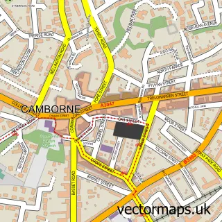

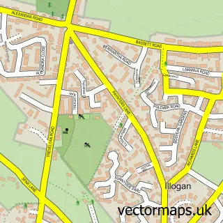
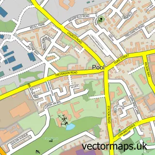
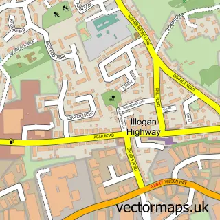
More street maps in Cornwall
750 metre map area coverage
Boundary, postcode and point of interest information for the 750m x 750m rectangle centred on this sample map.
Boundaries containing map centre
Constituency: Camborne and Redruth Co Const
District: Cornwall
Icb: NHS Cornwall and the Isles of Scilly ICB
Parish: Portreath CP
Police Force: devon and cornwall
Postcode District: TR16
Postcode Sector: TR16 4
Nearby boundaries intersecting sample
No additional intersecting boundaries found.
Postcode coverage
POI category counts
Holiday Rental Home: 5
Beach: 4
Pub: 4
Landmark And Historical Building: 3
Bakery: 2
Bed And Breakfast: 2
Cafe: 2
Convenience Store: 2
Cottage: 2
Key And Locksmith: 2
Sample points of interest
- Lighthouse Hill Porthreath
- St Mary's, Portreath
- Pampered Paws
- Harbour House Residential Home
- Portreath Bakery
- Portreath Bakery on the Beach
- Little Beach, Portreath
- Main Beach Portreath
- Portreath Beach
- Portreath Surf School & Beach Hire Centre
- Sea & Salt Unisex Hair and Beauty Salon
- Cliff House
Create a larger editable map of Portreath
This sample shows only a 750 metre area. To create a larger map of Portreath, use our map builder to choose your own coverage area, add titles and download editable SVG, PDF and PNG files.
Create a custom map of Portreath