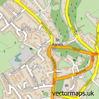
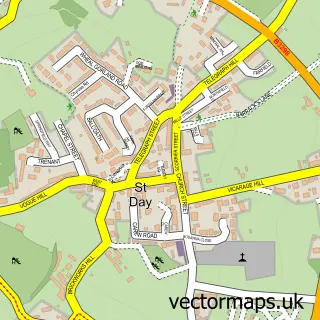
This Mount Hawke street map is a detailed vector street map covering a 750m x 750m area. Select a larger area to create and download your own vector street map of Mount Hawke.
The 750-metre map sample for Mount Hawke covers 344 mapped buildings and approximately 19.0 km of road detail, of which 20 named roads are named. The immediate area includes 1 school, 1 GP surgery within 2 miles, 1 pub and 8 MOT stations within 2 miles. The wider area around Mount Hawke features 1 food and drink venue, 1 hotel and 8 campsites within 2 miles. To create a larger or custom map of Mount Hawke, the map builder lets you define your own coverage area and download editable SVG, PDF and PNG files.
Create a larger editable map of Mount Hawke
Choose any area you need and generate a high-quality vector map instantly. Perfect for print, planning, design, business and personal use.

This Mount Hawke street map in Cornwall is available as downloadable SVG, PDF and PNG map files, or as a printed map for planning, business, display, education, local information and design work. You can also create a larger custom map area using the map selector.
What this Mount Hawke map sample shows
Mount Hawke lies within St. Agnes Cp parish, part of Mount Hawke And Portreath ward in the Cornwall local authority area. The postcode geography for this area includes the TR postcode area, the TR4 postcode district and the TR4 8 postcode sector. Residents fall under the Nhs Cornwall And The Isles Of Scilly Integrated Care Board for NHS services.
Local features near Mount Hawke
Within 2 milesAmenities and services in and around Mount Hawke.
Administrative and postcode information for Mount Hawke
The local authority covering Mount Hawke is Cornwall, within the county of Cornwall. The settlement lies within Mount Hawke And Portreath ward and St. Agnes Cp civil parish. The TR4 postcode district and TR4 8 postcode sector serve the immediate area. NHS provision in the area is delivered through Royal Cornwall Hospitals Nhs Trust.
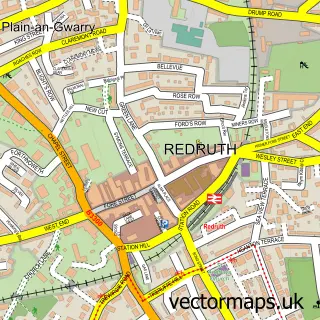
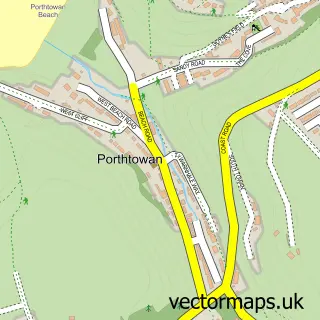
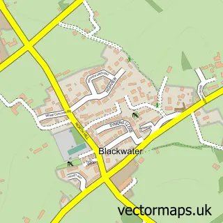
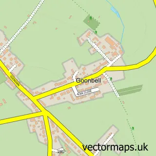
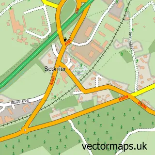
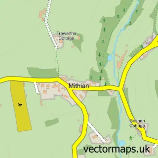
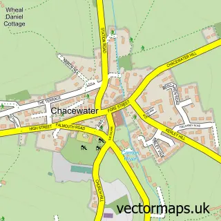
Nearby street map samples around Mount Hawke

More street maps in Cornwall
750 metre map area coverage
Boundary, postcode and point of interest information for the 750m x 750m rectangle centred on this sample map.
Boundaries containing map centre
Constituency: Camborne and Redruth Co Const
District: Cornwall
Icb: NHS Cornwall and the Isles of Scilly ICB
Parish: St. Agnes CP
Police Force: devon and cornwall
Postcode District: TR4
Postcode Sector: TR4 8
Nearby boundaries intersecting sample
No additional intersecting boundaries found.
Postcode coverage
POI category counts
Contractor: 3
Tree Services: 3
Cottage: 2
Farming Services: 2
Landscaping: 2
Auto Detailing: 1
Automotive Repair: 1
Building Supply Store: 1
Car Rental Agency: 1
Cleaning Services: 1
Sample points of interest
- CleanRide valeting services
- Pollard Peter
- Down Roots - Cornwall Garden Fencing Services
- Ocean Drive Cornwall
- Towan Sweeps
- pollys bow boutique
- Basil Phillips
- Trelawney Scaffolding
- Truform
- Londis
- Christie Lloyd Cottages
- Morwenna Barns
Create a larger editable map of Mount Hawke
This sample shows only a 750 metre area. To create a larger map of Mount Hawke, use our map builder to choose your own coverage area, add titles and download editable SVG, PDF and PNG files.
Create a custom map of Mount Hawke