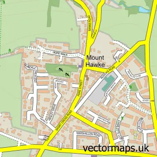
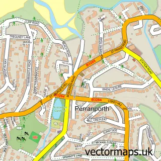
This St. Agnes street map is a detailed vector street map covering a 750m x 750m area. Select a larger area to create and download your own vector street map of St. Agnes.
The 750-metre map sample for St. Agnes covers 447 mapped buildings and approximately 15.3 km of road detail, of which 31 named roads are named. The immediate area includes 1 school, 1 GP surgery, 6 pubs and 2 MOT stations within 2 miles. The wider area around St. Agnes features 3 tourism points of interest, 15 food and drink venues and 1 hotel. To create a larger or custom map of St. Agnes, the map builder lets you define your own coverage area and download editable SVG, PDF and PNG files.
Create a larger editable map of St. Agnes
Choose any area you need and generate a high-quality vector map instantly. Perfect for print, planning, design, business and personal use.

This St. Agnes street map in Cornwall is available as downloadable SVG, PDF and PNG map files, or as a printed map for planning, business, display, education, local information and design work. You can also create a larger custom map area using the map selector.
What this St. Agnes map sample shows
St. Agnes lies within St. Agnes Cp parish, part of St Agnes ward in the Cornwall local authority area. The postcode geography for this area includes the TR postcode area, the TR5 postcode district and the TR5 0 postcode sector. Residents fall under the Nhs Cornwall And The Isles Of Scilly Integrated Care Board for NHS services.
Local features near St. Agnes
Within 2 milesAmenities and services in and around St. Agnes.
Administrative and postcode information for St. Agnes
St. Agnes lies within St. Agnes Cp parish, part of St Agnes ward in the Cornwall local authority area. The postcode geography for this area includes the TR postcode area, the TR5 postcode district and the TR5 0 postcode sector. Residents fall under the Nhs Cornwall And The Isles Of Scilly Integrated Care Board for NHS services.
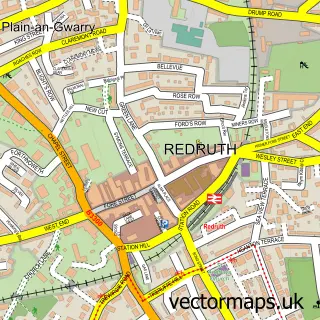
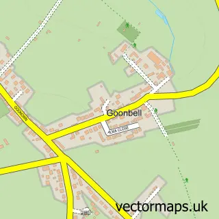
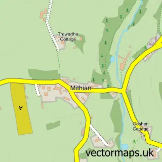
Nearby street map samples around St. Agnes

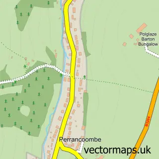
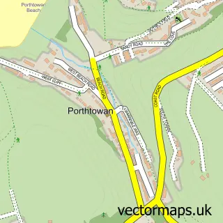
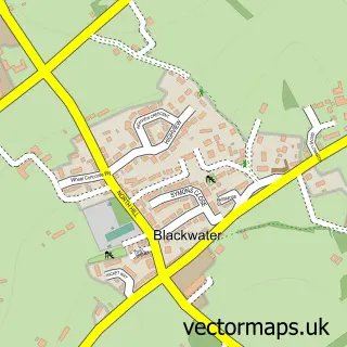
More street maps in Cornwall
750 metre map area coverage
Boundary, postcode and point of interest information for the 750m x 750m rectangle centred on this sample map.
Boundaries containing map centre
Constituency: Camborne and Redruth Co Const
District: Cornwall
Icb: NHS Cornwall and the Isles of Scilly ICB
Parish: St. Agnes CP
Police Force: devon and cornwall
Postcode District: TR5
Postcode Sector: TR5 0
Nearby boundaries intersecting sample
No additional intersecting boundaries found.
Postcode coverage
POI category counts
Pub: 6
Holiday Rental Home: 5
Bed And Breakfast: 4
Cafe: 4
Hair Salon: 3
Restaurant: 3
Art Gallery: 2
Church Cathedral: 2
Coffee Shop: 2
Event Technology Service: 2
Sample points of interest
- Big Design Corporation
- St Agnes: St Agnes
- Miller Estate Agents St. Agnes
- Desmonde Associates
- Cornish Art Prints
- Gary Hall Art
- Painting for Beginners
- Dr. Jessica Quiñones
- Barclays ATM
- Koru Kayaking
- Martina's
- Barclays
Create a larger editable map of St. Agnes
This sample shows only a 750 metre area. To create a larger map of St. Agnes, use our map builder to choose your own coverage area, add titles and download editable SVG, PDF and PNG files.
Create a custom map of St. Agnes