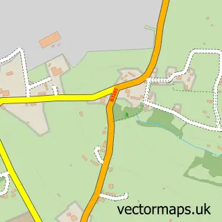
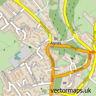
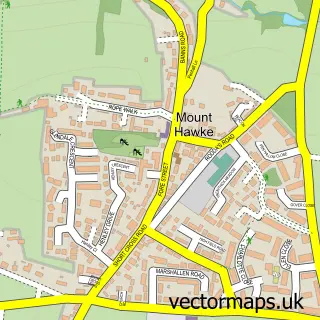
This Mithian street map is a detailed vector street map covering a 750m x 750m area. Select a larger area to create and download your own vector street map of Mithian.
The 750-metre map sample for Mithian covers 74 mapped buildings and approximately 7.1 km of road detail. The immediate area includes 1 GP surgery within 2 miles, 1 pub and 2 MOT stations within 2 miles. The wider area around Mithian features 1 food and drink venue, 2 hotels and 5 campsites within 2 miles. To create a larger or custom map of Mithian, the map builder lets you define your own coverage area and download editable SVG, PDF and PNG files.
Create a larger editable map of Mithian
Choose any area you need and generate a high-quality vector map instantly. Perfect for print, planning, design, business and personal use.

This Mithian street map in Cornwall is available as downloadable SVG, PDF and PNG map files, or as a printed map for planning, business, display, education, local information and design work. You can also create a larger custom map area using the map selector.
What this Mithian map sample shows
Mithian lies within St. Agnes Cp parish, part of St Agnes ward in the Cornwall local authority area. The postcode geography for this area includes the TR postcode area, the TR5 postcode district and the TR5 0 postcode sector. Residents fall under the Nhs Cornwall And The Isles Of Scilly Integrated Care Board for NHS services.
Local features near Mithian
Within 2 milesAmenities and services in and around Mithian.
Administrative and postcode information for Mithian
Mithian lies within St. Agnes Cp parish, part of St Agnes ward in the Cornwall local authority area. The postcode geography for this area includes the TR postcode area, the TR5 postcode district and the TR5 0 postcode sector. Residents fall under the Nhs Cornwall And The Isles Of Scilly Integrated Care Board for NHS services.
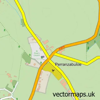
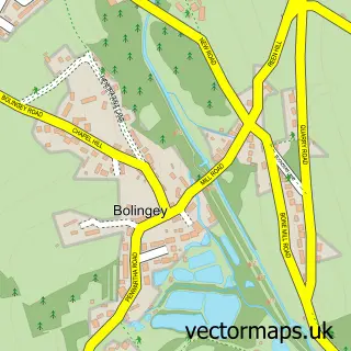
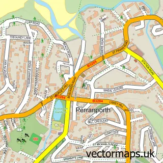
Nearby street map samples around Mithian
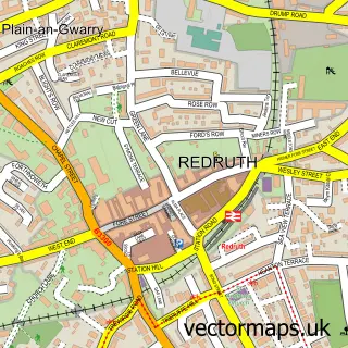

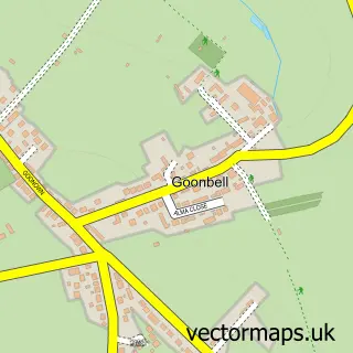
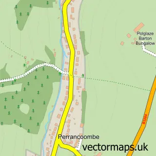
More street maps in Cornwall
750 metre map area coverage
Boundary, postcode and point of interest information for the 750m x 750m rectangle centred on this sample map.
Boundaries containing map centre
Constituency: Camborne and Redruth Co Const
District: Cornwall
Icb: NHS Cornwall and the Isles of Scilly ICB
Parish: St. Agnes CP
Police Force: devon and cornwall
Postcode District: TR5
Postcode Sector: TR5 0
Nearby boundaries intersecting sample
Parish: Perranzabuloe CP
Postcode District: TR6
Postcode Sector: TR6 0
Postcode coverage
POI category counts
Hotel: 2
Bakery: 1
Bar: 1
Bed And Breakfast: 1
Beverage Store: 1
Professional Services: 1
Pub: 1
Real Estate: 1
Resort: 1
Theatre: 1
Sample points of interest
- The Brownie Baker
- Miner's Arms
- Skyber Byghan
- The Dining Room Restaurant & Bar
- 3 Whitewalls, St Agnes, Boutique Cottage
- Rose in Vale Country House Hotel in Cornwall
- Janna Dixon Photography
- The Miners Arms
- Mithian Allotments
- Rose In Vale Hotel
- Rogue Gatherings of Wild Imaginings
Create a larger editable map of Mithian
This sample shows only a 750 metre area. To create a larger map of Mithian, use our map builder to choose your own coverage area, add titles and download editable SVG, PDF and PNG files.
Create a custom map of Mithian