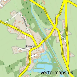
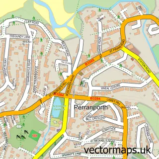
This Perranzabuloe street map is a detailed vector street map covering a 750m x 750m area. Select a larger area to create and download your own vector street map of Perranzabuloe.
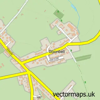
The 750-metre map sample for Perranzabuloe covers 41 mapped buildings and approximately 8.1 km of road detail. The immediate area includes 1 GP surgery within 2 miles and 1 pub. The wider area around Perranzabuloe features 1 tourism point of interest, 1 food and drink venue and 1 hotel. To create a larger or custom map of Perranzabuloe, the map builder lets you define your own coverage area and download editable SVG, PDF and PNG files.
Create a larger editable map of Perranzabuloe
Choose any area you need and generate a high-quality vector map instantly. Perfect for print, planning, design, business and personal use.

This Perranzabuloe street map in Cornwall is available as downloadable SVG, PDF and PNG map files, or as a printed map for planning, business, display, education, local information and design work. You can also create a larger custom map area using the map selector.
What this Perranzabuloe map sample shows
Perranzabuloe lies within Perranzabuloe Cp parish, part of Perranporth ward in the Cornwall local authority area. The postcode geography for this area includes the TR postcode area, the TR4 postcode district and the TR4 9 postcode sector. Residents fall under the Nhs Cornwall And The Isles Of Scilly Integrated Care Board for NHS services.
Local features near Perranzabuloe
Within 2 milesAmenities and services in and around Perranzabuloe.
Administrative and postcode information for Perranzabuloe
The local authority covering Perranzabuloe is Cornwall, within the county of Cornwall. The settlement lies within Perranporth ward and Perranzabuloe Cp civil parish. The TR4 postcode district and TR4 9 postcode sector serve the immediate area. NHS provision in the area is delivered through Royal Cornwall Hospitals Nhs Trust.
Nearby street map samples around Perranzabuloe

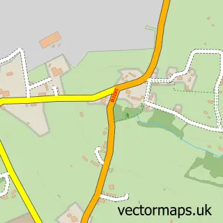
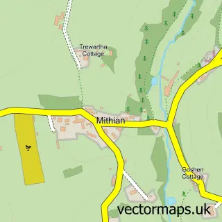
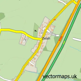
More street maps in Cornwall
750 metre map area coverage
Boundary, postcode and point of interest information for the 750m x 750m rectangle centred on this sample map.
Boundaries containing map centre
Constituency: Camborne and Redruth Co Const
District: Cornwall
Icb: NHS Cornwall and the Isles of Scilly ICB
Parish: Perranzabuloe CP
Police Force: devon and cornwall
Postcode District: TR4
Postcode Sector: TR4 9
Nearby boundaries intersecting sample
Postcode District: TR6
Postcode Sector: TR6 0
Postcode coverage
POI category counts
Anglican Church: 1
Auto Restoration Services: 1
Bed And Breakfast: 1
Church Cathedral: 1
Guest House: 1
Hotel: 1
Italian Restaurant: 1
Landmark And Historical Building: 1
Marketing Consultant: 1
Pub: 1
Sample points of interest
- Perranzabuloe: St Piran
- Westcoast Vw
- Zucchini Italian Kitchen
- Perranzabuloe Parish Church, St Piran
- OYO The Whitehouse Inn
- The Meadow Hotel
- Zucchini Italian Kitchen
- Lambourne, Cornwall
- Cornish Marketing Consultancy
- The Whitehouse Inn
Create a larger editable map of Perranzabuloe
This sample shows only a 750 metre area. To create a larger map of Perranzabuloe, use our map builder to choose your own coverage area, add titles and download editable SVG, PDF and PNG files.
Create a custom map of Perranzabuloe