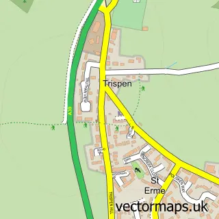
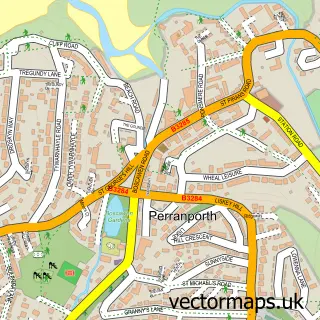
This Zelah street map is a detailed vector street map covering a 750m x 750m area. Select a larger area to create and download your own vector street map of Zelah.
The 750-metre map sample for Zelah covers 74 mapped buildings and approximately 8.9 km of road detail, of which 3 named roads are named. The immediate area includes 1 pub and 1 MOT station within 2 miles. The wider area around Zelah features 1 food and drink venue and 4 campsites within 2 miles. To create a larger or custom map of Zelah, the map builder lets you define your own coverage area and download editable SVG, PDF and PNG files.
Create a larger editable map of Zelah
Choose any area you need and generate a high-quality vector map instantly. Perfect for print, planning, design, business and personal use.

This Zelah street map in Cornwall is available as downloadable SVG, PDF and PNG map files, or as a printed map for planning, business, display, education, local information and design work. You can also create a larger custom map area using the map selector.
What this Zelah map sample shows
Zelah lies within St. Allen Cp parish, part of Ladock, St Clement And St Erme ward in the Cornwall local authority area. The postcode geography for this area includes the TR postcode area, the TR4 postcode district and the TR4 9 postcode sector. Residents fall under the Nhs Cornwall And The Isles Of Scilly Integrated Care Board for NHS services.
Local features near Zelah
Within 2 milesAmenities and services in and around Zelah.
Administrative and postcode information for Zelah
The local authority covering Zelah is Cornwall, within the county of Cornwall. The settlement lies within Ladock, St Clement And St Erme ward and St. Allen Cp civil parish. The TR4 postcode district and TR4 9 postcode sector serve the immediate area. NHS provision in the area is delivered through Royal Cornwall Hospitals Nhs Trust.
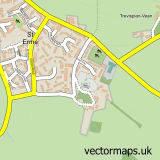
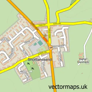
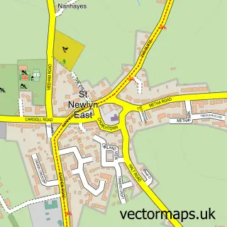
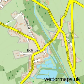
Nearby street map samples around Zelah

More street maps in Cornwall
750 metre map area coverage
Boundary, postcode and point of interest information for the 750m x 750m rectangle centred on this sample map.
Boundaries containing map centre
Constituency: Truro and Falmouth Co Const
District: Cornwall
Icb: NHS Cornwall and the Isles of Scilly ICB
Parish: St. Allen CP
Police Force: devon and cornwall
Postcode District: TR4
Postcode Sector: TR4 9
Nearby boundaries intersecting sample
No additional intersecting boundaries found.
Postcode coverage
POI category counts
Drywall Services: 1
Farm: 1
Holiday Rental Home: 1
Pet Groomer: 1
Pet Services: 1
Pub: 1
Sample points of interest
- Chivers & Co.
- Engelly Farm
- Polstain Farm Static Caravan
- Polgoda Dogs Grooming and Exercise Field
- Polstain Farm Cattery
- The Hawkins Arms
Create a larger editable map of Zelah
This sample shows only a 750 metre area. To create a larger map of Zelah, use our map builder to choose your own coverage area, add titles and download editable SVG, PDF and PNG files.
Create a custom map of Zelah