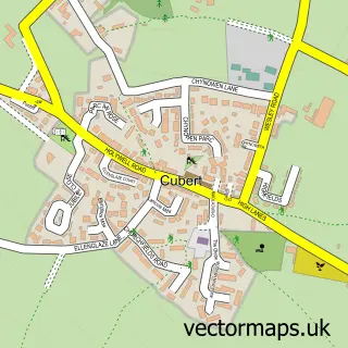
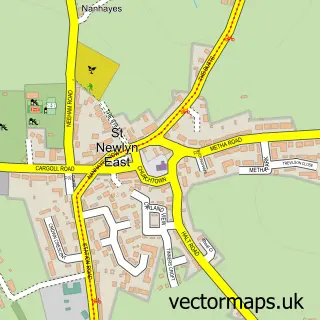
This Newquay street map is a detailed vector street map covering a 750m x 750m area. Select a larger area to create and download your own vector street map of Newquay.
The 750-metre map sample for Newquay covers 367 mapped buildings and approximately 20.2 km of road detail, of which 51 named roads are named. The immediate area includes 1 school, 2 GP surgeries within 2 miles, 8 pubs and 2 MOT stations, with 6 within 2 miles. The wider area around Newquay features 17 tourism points of interest, 56 food and drink venues and 34 hotels. To create a larger or custom map of Newquay, the map builder lets you define your own coverage area and download editable SVG, PDF and PNG files.
Create a larger editable map of Newquay
Choose any area you need and generate a high-quality vector map instantly. Perfect for print, planning, design, business and personal use.

This Newquay street map in Cornwall is available as downloadable SVG, PDF and PNG map files, or as a printed map for planning, business, display, education, local information and design work. You can also create a larger custom map area using the map selector.
What this Newquay map sample shows
Newquay lies within Newquay Cp parish, part of Newquay Tretherras ward in the Cornwall local authority area. The postcode geography for this area includes the TR postcode area, the TR7 postcode district and the TR7 2 postcode sector. Residents fall under the Nhs Cornwall And The Isles Of Scilly Integrated Care Board for NHS services.
Local features near Newquay
Within 2 milesAmenities and services in and around Newquay.
Administrative and postcode information for Newquay
The local authority covering Newquay is Cornwall, within the county of Cornwall. The settlement lies within Newquay Tretherras ward and Newquay Cp civil parish. The TR7 postcode district and TR7 2 postcode sector serve the immediate area. NHS provision in the area is delivered through Royal Cornwall Hospitals Nhs Trust.
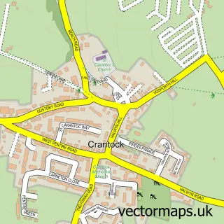
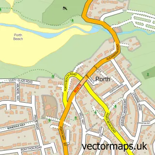
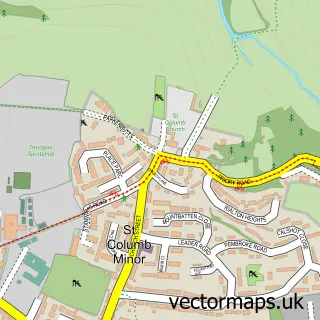
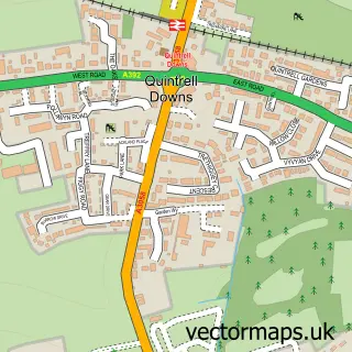
Nearby street map samples around Newquay

More street maps in Cornwall
750 metre map area coverage
Boundary, postcode and point of interest information for the 750m x 750m rectangle centred on this sample map.
Boundaries containing map centre
Constituency: St. Austell and Newquay Co Const
District: Cornwall
Icb: NHS Cornwall and the Isles of Scilly ICB
Parish: Newquay CP
Police Force: devon and cornwall
Postcode District: TR7
Postcode Sector: TR7 1
Nearby boundaries intersecting sample
Postcode Sector: TR7 2
Postcode coverage
POI category counts
Hotel: 34
Bed And Breakfast: 30
Clothing Store: 28
Restaurant: 19
Bakery: 18
Cafe: 18
Surf Shop: 16
Bar: 14
Coffee Shop: 12
Beach: 11
Sample points of interest
- Crane & Johnston
- Killacourt
- Studs Sports
- Newquay Osteopathy and Acupuncture Clinic
- First Response GB
- Growth Yard
- Linked Hacker
- Springer Marketing
- Springer Marketing Services Ltd.
- Web Marketing Analytics
- Breathwork Therapy @ Rewild with Ali
- Kayes Homeopathic Practice
Create a larger editable map of Newquay
This sample shows only a 750 metre area. To create a larger map of Newquay, use our map builder to choose your own coverage area, add titles and download editable SVG, PDF and PNG files.
Create a custom map of Newquay