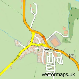
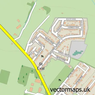
This Tregurrian street map is a detailed vector street map covering a 750m x 750m area. Select a larger area to create and download your own vector street map of Tregurrian.
The 750-metre map sample for Tregurrian covers 75 mapped buildings and approximately 7.3 km of road detail, of which 1 named road are named. The wider area around Tregurrian features 4 tourism points of interest, 3 hotels and 9 campsites within 2 miles. To create a larger or custom map of Tregurrian, the map builder lets you define your own coverage area and download editable SVG, PDF and PNG files.
Create a larger editable map of Tregurrian
Choose any area you need and generate a high-quality vector map instantly. Perfect for print, planning, design, business and personal use.

This Tregurrian street map in Cornwall is available as downloadable SVG, PDF and PNG map files, or as a printed map for planning, business, display, education, local information and design work. You can also create a larger custom map area using the map selector.
What this Tregurrian map sample shows
Tregurrian lies within Newquay Cp parish, part of St Mawgan And Colan ward in the Cornwall local authority area. The postcode geography for this area includes the TR postcode area, the TR8 postcode district and the TR8 4 postcode sector. Residents fall under the Nhs Cornwall And The Isles Of Scilly Integrated Care Board for NHS services.
Local features near Tregurrian
Within 2 milesAmenities and services in and around Tregurrian.
Administrative and postcode information for Tregurrian
The local authority covering Tregurrian is Cornwall, within the county of Cornwall. The settlement lies within St Mawgan And Colan ward and Newquay Cp civil parish. The TR8 postcode district and TR8 4 postcode sector serve the immediate area. NHS provision in the area is delivered through Royal Cornwall Hospitals Nhs Trust.
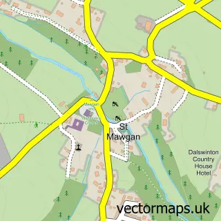
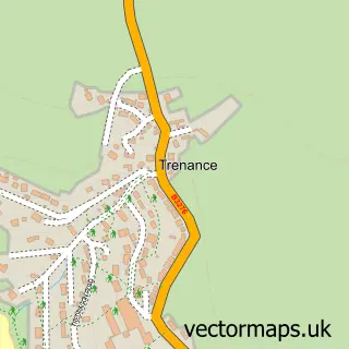
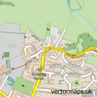
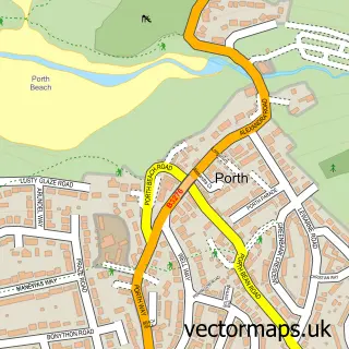
Nearby street map samples around Tregurrian
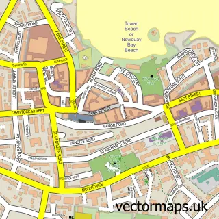

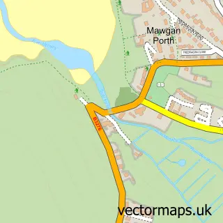
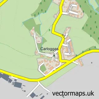
More street maps in Cornwall
750 metre map area coverage
Boundary, postcode and point of interest information for the 750m x 750m rectangle centred on this sample map.
Boundaries containing map centre
Constituency: St. Austell and Newquay Co Const
District: Cornwall
Icb: NHS Cornwall and the Isles of Scilly ICB
Parish: Newquay CP
Police Force: devon and cornwall
Postcode District: TR8
Postcode Sector: TR8 4
Nearby boundaries intersecting sample
Constituency: North Cornwall Co Const
Parish: Mawgan-in-Pydar CP
Postcode coverage
POI category counts
Campground: 4
Hotel: 3
Bed And Breakfast: 1
Kids Recreation And Party: 1
Mediterranean Restaurant: 1
Surfboard Rental: 1
Travel: 1
Sample points of interest
- Watergate Bay Surf Lodge
- Penvose Farm Holidays
- The View at Watergate Bay
- Watergate Bay Touring Park
- Watergate Bay Touring Park
- Bluehouse Watergate Bay
- The Penthouse Tregurrian, Watergate Bay Cornwall
- Watersend House
- Tregurrian Camping And Caravanning Club Site
- Oskas Cafe - Atlantic Heights Surf Lodge
- Watergate Bay Hotel
- Tregurrian
Create a larger editable map of Tregurrian
This sample shows only a 750 metre area. To create a larger map of Tregurrian, use our map builder to choose your own coverage area, add titles and download editable SVG, PDF and PNG files.
Create a custom map of Tregurrian