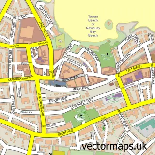
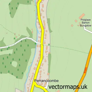
This Cubert street map is a detailed vector street map covering a 750m x 750m area. Select a larger area to create and download your own vector street map of Cubert.
The 750-metre map sample for Cubert covers 280 mapped buildings and approximately 15.8 km of road detail, of which 17 named roads are named. The immediate area includes 1 school, 1 pub and 1 MOT station within 2 miles. The wider area around Cubert features 1 tourism point of interest, 1 food and drink venue and 1 hotel. To create a larger or custom map of Cubert, the map builder lets you define your own coverage area and download editable SVG, PDF and PNG files.
Create a larger editable map of Cubert
Choose any area you need and generate a high-quality vector map instantly. Perfect for print, planning, design, business and personal use.

This Cubert street map in Cornwall is available as downloadable SVG, PDF and PNG map files, or as a printed map for planning, business, display, education, local information and design work. You can also create a larger custom map area using the map selector.
What this Cubert map sample shows
Cubert lies within Cubert Cp parish, part of Newlyn And Goonhavern ward in the Cornwall local authority area. The postcode geography for this area includes the TR postcode area, the TR8 postcode district and the TR8 5 postcode sector. Residents fall under the Nhs Cornwall And The Isles Of Scilly Integrated Care Board for NHS services.
Local features near Cubert
Within 2 milesAmenities and services in and around Cubert.
Administrative and postcode information for Cubert
Cubert lies within Cubert Cp parish, part of Newlyn And Goonhavern ward in the Cornwall local authority area. The postcode geography for this area includes the TR postcode area, the TR8 postcode district and the TR8 5 postcode sector. Residents fall under the Nhs Cornwall And The Isles Of Scilly Integrated Care Board for NHS services.
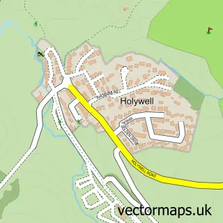
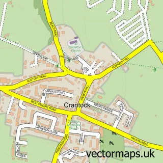
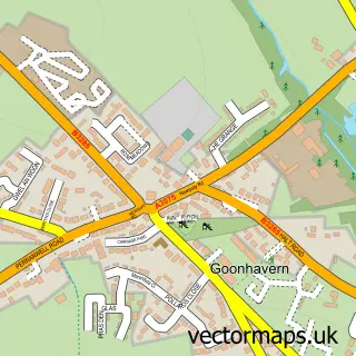
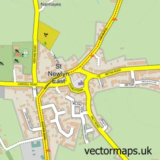
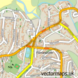
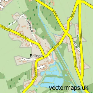
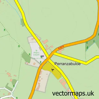
Nearby street map samples around Cubert

More street maps in Cornwall
750 metre map area coverage
Boundary, postcode and point of interest information for the 750m x 750m rectangle centred on this sample map.
Boundaries containing map centre
Constituency: Truro and Falmouth Co Const
District: Cornwall
Icb: NHS Cornwall and the Isles of Scilly ICB
Parish: Cubert CP
Police Force: devon and cornwall
Postcode District: TR8
Postcode Sector: TR8 5
Nearby boundaries intersecting sample
No additional intersecting boundaries found.
Postcode coverage
POI category counts
Charity Organization: 2
Cottage: 2
Elementary School: 2
Holiday Rental Home: 2
Professional Services: 2
Active Life: 1
Advertising Agency: 1
Anglican Church: 1
Appliance Manufacturer: 1
Bakery: 1
Sample points of interest
- Radiant Health And Fitness
- Paddle Creative
- Cubert: St Cubert
- Botrea Stairs
- The Baker's Dozen
- Holywell Bay Beach
- Karen's Beauty Tips
- TR8 Media
- Cubert Fireworks
- The Guide Dogs For the Blind Association
- Cubert Beacon of Light Community Church
- Londis LONDIS - CUBERT PO & STORE
Create a larger editable map of Cubert
This sample shows only a 750 metre area. To create a larger map of Cubert, use our map builder to choose your own coverage area, add titles and download editable SVG, PDF and PNG files.
Create a custom map of Cubert