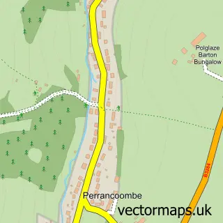
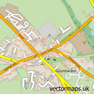
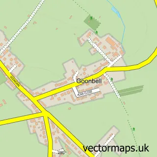
This Bolingey street map is a detailed vector street map covering a 750m x 750m area. Select a larger area to create and download your own vector street map of Bolingey.
The 750-metre map sample for Bolingey covers 175 mapped buildings and approximately 12.1 km of road detail, of which 13 named roads are named. The immediate area includes 1 GP surgery within 2 miles and 2 pubs. The wider area around Bolingey features 2 food and drink venues, 1 hotel and 9 campsites within 2 miles. To create a larger or custom map of Bolingey, the map builder lets you define your own coverage area and download editable SVG, PDF and PNG files.
Create a larger editable map of Bolingey
Choose any area you need and generate a high-quality vector map instantly. Perfect for print, planning, design, business and personal use.

This Bolingey street map in Cornwall is available as downloadable SVG, PDF and PNG map files, or as a printed map for planning, business, display, education, local information and design work. You can also create a larger custom map area using the map selector.
What this Bolingey map sample shows
Bolingey lies within Perranzabuloe Cp parish, part of Perranporth ward in the Cornwall local authority area. The postcode geography for this area includes the TR postcode area, the TR6 postcode district and the TR6 0 postcode sector. Residents fall under the Nhs Cornwall And The Isles Of Scilly Integrated Care Board for NHS services.
Local features near Bolingey
Within 2 milesAmenities and services in and around Bolingey.
Administrative and postcode information for Bolingey
The local authority covering Bolingey is Cornwall, within the county of Cornwall. The settlement lies within Perranporth ward and Perranzabuloe Cp civil parish. The TR6 postcode district and TR6 0 postcode sector serve the immediate area. NHS provision in the area is delivered through Royal Cornwall Hospitals Nhs Trust.
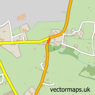
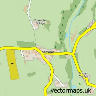
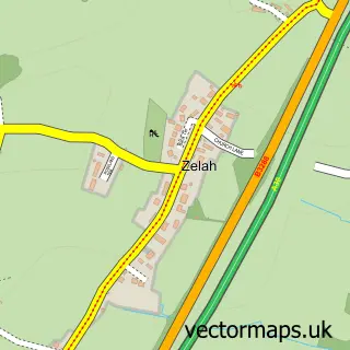
Nearby street map samples around Bolingey

More street maps in Cornwall
750 metre map area coverage
Boundary, postcode and point of interest information for the 750m x 750m rectangle centred on this sample map.
Boundaries containing map centre
Constituency: Camborne and Redruth Co Const
District: Cornwall
Icb: NHS Cornwall and the Isles of Scilly ICB
Parish: Perranzabuloe CP
Police Force: devon and cornwall
Postcode District: TR6
Postcode Sector: TR6 0
Nearby boundaries intersecting sample
Constituency: Truro and Falmouth Co Const
Postcode coverage
POI category counts
Pub: 2
Automotive Repair: 1
B2b Jewelers: 1
Business Manufacturing And Supply: 1
Carpet Store: 1
Fishing Club: 1
Gift Shop: 1
Hotel: 1
Officiating Services: 1
Pet Groomer: 1
Sample points of interest
- VW Rich
- Kernowcraft Rocks & Gems Ltd
- MDS Leisure
- Linney Flooring
- Bolingey Lakes
- Kernowcraft Rocks & Gems Ltd.
- Perranporth Caravan Holidays
- Perfect Day Ceremonies Cornwall Wedding Celebrant
- Perranpaws
- Omniplumbing and Building
- Bolingey Inn
- The Bolingey Inn
Create a larger editable map of Bolingey
This sample shows only a 750 metre area. To create a larger map of Bolingey, use our map builder to choose your own coverage area, add titles and download editable SVG, PDF and PNG files.
Create a custom map of Bolingey