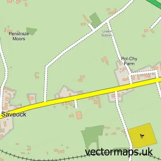
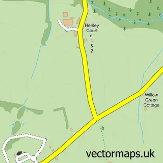
This Blackwater street map is a detailed vector street map covering a 750m x 750m area. Select a larger area to create and download your own vector street map of Blackwater.
The 750-metre map sample for Blackwater covers 219 mapped buildings and approximately 11.6 km of road detail, of which 7 named roads are named. The immediate area includes 2 schools, 1 GP surgery within 2 miles, 1 pub and 1 MOT station, with 11 within 2 miles. The wider area around Blackwater features 1 tourism point of interest, 1 food and drink venue and 2 campsites within 2 miles. To create a larger or custom map of Blackwater, the map builder lets you define your own coverage area and download editable SVG, PDF and PNG files.
Create a larger editable map of Blackwater
Choose any area you need and generate a high-quality vector map instantly. Perfect for print, planning, design, business and personal use.

This Blackwater street map in Cornwall is available as downloadable SVG, PDF and PNG map files, or as a printed map for planning, business, display, education, local information and design work. You can also create a larger custom map area using the map selector.
What this Blackwater map sample shows
Blackwater lies within St. Agnes Cp parish, part of St Agnes ward in the Cornwall local authority area. The postcode geography for this area includes the TR postcode area, the TR4 postcode district and the TR4 8 postcode sector. Residents fall under the Nhs Cornwall And The Isles Of Scilly Integrated Care Board for NHS services.
Local features near Blackwater
Within 2 milesAmenities and services in and around Blackwater.
Administrative and postcode information for Blackwater
Blackwater lies within St. Agnes Cp parish, part of St Agnes ward in the Cornwall local authority area. The postcode geography for this area includes the TR postcode area, the TR4 postcode district and the TR4 8 postcode sector. Residents fall under the Nhs Cornwall And The Isles Of Scilly Integrated Care Board for NHS services.
Nearby street map samples around Blackwater
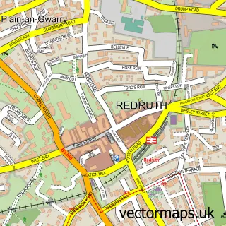

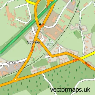
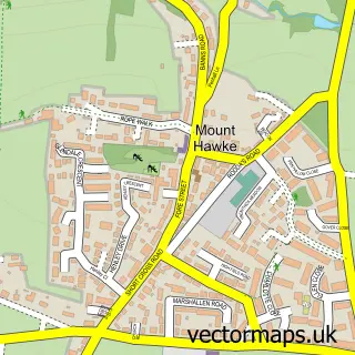
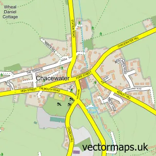
More street maps in Cornwall
750 metre map area coverage
Boundary, postcode and point of interest information for the 750m x 750m rectangle centred on this sample map.
Boundaries containing map centre
Constituency: Camborne and Redruth Co Const
District: Cornwall
Icb: NHS Cornwall and the Isles of Scilly ICB
Parish: St. Agnes CP
Police Force: devon and cornwall
Postcode District: TR4
Postcode Sector: TR4 8
Nearby boundaries intersecting sample
Constituency: Truro and Falmouth Co Const
Postcode coverage
POI category counts
Automotive: 4
Car Dealer: 3
Education: 2
Elementary School: 2
Korean Grocery Store: 2
Antique Store: 1
Atv Recreation Park: 1
Automotive Repair: 1
Beauty Salon: 1
Building Supply Store: 1
Sample points of interest
- Blackwater Pine Antiques
- ATV Centre
- Hawkins Blackwater Citroën & Hyundai
- Hawkins Hyundai Blackwater
- Hawkins Nissan Blackwater
- Motability Scheme at Hawkins Hyundai Blackwater
- Hawkins Garage
- Adore Nails, Hair and Beauty
- Garage Door Repair Co. Cornwall
- Citroen Dealer
- Hawkins (Truro)
- Hawkins Motors
Create a larger editable map of Blackwater
This sample shows only a 750 metre area. To create a larger map of Blackwater, use our map builder to choose your own coverage area, add titles and download editable SVG, PDF and PNG files.
Create a custom map of Blackwater