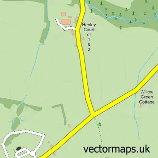
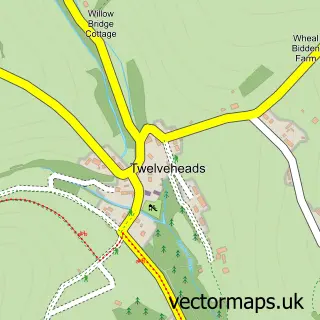
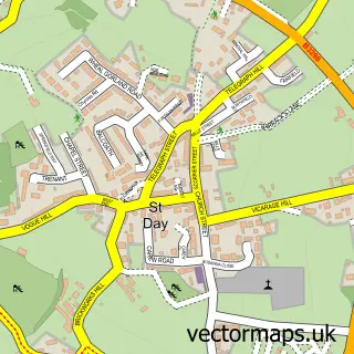
This Greenbottom street map is a detailed vector street map covering a 750m x 750m area. Select a larger area to create and download your own vector street map of Greenbottom.
The 750-metre map sample for Greenbottom covers 105 mapped buildings and approximately 5.6 km of road detail. The immediate area includes 1 GP surgery within 2 miles and 6 MOT stations within 2 miles. The wider area around Greenbottom features 1 campsite within 2 miles. To create a larger or custom map of Greenbottom, the map builder lets you define your own coverage area and download editable SVG, PDF and PNG files.
Create a larger editable map of Greenbottom
Choose any area you need and generate a high-quality vector map instantly. Perfect for print, planning, design, business and personal use.

This Greenbottom street map in Cornwall is available as downloadable SVG, PDF and PNG map files, or as a printed map for planning, business, display, education, local information and design work. You can also create a larger custom map area using the map selector.
What this Greenbottom map sample shows
Greenbottom lies within Kenwyn Cp parish, part of Threemilestone And Gloweth ward in the Cornwall local authority area. The postcode geography for this area includes the TR postcode area, the TR3 postcode district and the TR3 6 postcode sector. Residents fall under the Nhs Cornwall And The Isles Of Scilly Integrated Care Board for NHS services.
Local features near Greenbottom
Within 2 milesAmenities and services in and around Greenbottom.
Administrative and postcode information for Greenbottom
Greenbottom lies within Kenwyn Cp parish, part of Threemilestone And Gloweth ward in the Cornwall local authority area. The postcode geography for this area includes the TR postcode area, the TR3 postcode district and the TR3 6 postcode sector. Residents fall under the Nhs Cornwall And The Isles Of Scilly Integrated Care Board for NHS services.
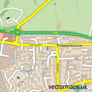
Nearby street map samples around Greenbottom
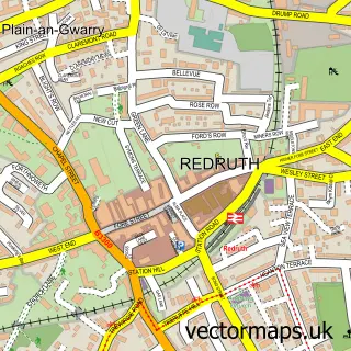

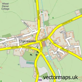
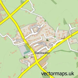
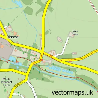
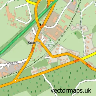
More street maps in Cornwall
750 metre map area coverage
Boundary, postcode and point of interest information for the 750m x 750m rectangle centred on this sample map.
Boundaries containing map centre
Constituency: Truro and Falmouth Co Const
District: Cornwall
Icb: NHS Cornwall and the Isles of Scilly ICB
Parish: Kenwyn CP
Police Force: devon and cornwall
Postcode District: TR4
Postcode Sector: TR4 8
Nearby boundaries intersecting sample
No additional intersecting boundaries found.
Postcode coverage
POI category counts
Gym: 3
Archaeological Services: 1
Beauty Salon: 1
Chiropractor: 1
Contractor: 1
Courier And Delivery Services: 1
Hair Salon: 1
Home Health Care: 1
Online Shop: 1
Sample points of interest
- Saveock Water Archeology
- Tiffany's
- theChiro Clinic
- Paul Mitchell Sacks Limited
- Evri ParcelShop
- Morgan's Gym
- TR4 CrossFit
- Zone Fitness Truro
- Salon Solo
- Live Life Care
- Paul Mitchell Sacks - Filled Hessian Sacks & Sandbags UK
Create a larger editable map of Greenbottom
This sample shows only a 750 metre area. To create a larger map of Greenbottom, use our map builder to choose your own coverage area, add titles and download editable SVG, PDF and PNG files.
Create a custom map of Greenbottom