This Threemilestone street map is a detailed vector street map covering a 750m x 750m area. Select a larger area to create and download your own vector street map of Threemilestone.
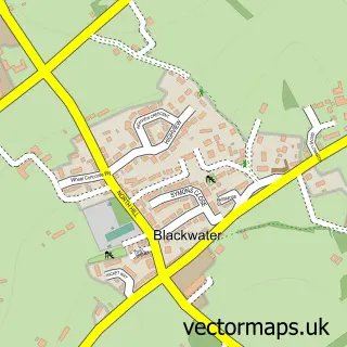
The 750-metre map sample for Threemilestone covers 390 mapped buildings and approximately 16.6 km of road detail, of which 27 named roads are named. The immediate area includes 1 school, 1 GP surgery within 2 miles, 1 pub and 5 MOT stations within 2 miles. The wider area around Threemilestone features 5 food and drink venues. To create a larger or custom map of Threemilestone, the map builder lets you define your own coverage area and download editable SVG, PDF and PNG files.
Create a larger editable map of Threemilestone
Choose any area you need and generate a high-quality vector map instantly. Perfect for print, planning, design, business and personal use.

This Threemilestone street map in Cornwall is available as downloadable SVG, PDF and PNG map files, or as a printed map for planning, business, display, education, local information and design work. You can also create a larger custom map area using the map selector.
What this Threemilestone map sample shows
Threemilestone lies within Kenwyn Cp parish, part of Threemilestone And Gloweth ward in the Cornwall local authority area. The postcode geography for this area includes the TR postcode area, the TR3 postcode district and the TR3 6 postcode sector. Residents fall under the Nhs Cornwall And The Isles Of Scilly Integrated Care Board for NHS services.
Local features near Threemilestone
Within 2 milesAmenities and services in and around Threemilestone.
Administrative and postcode information for Threemilestone
Threemilestone lies within Kenwyn Cp parish, part of Threemilestone And Gloweth ward in the Cornwall local authority area. The postcode geography for this area includes the TR postcode area, the TR3 postcode district and the TR3 6 postcode sector. Residents fall under the Nhs Cornwall And The Isles Of Scilly Integrated Care Board for NHS services.
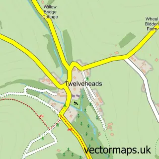
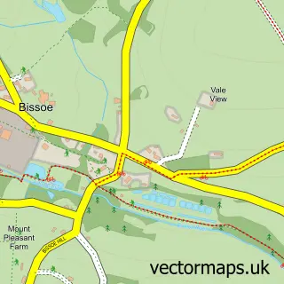
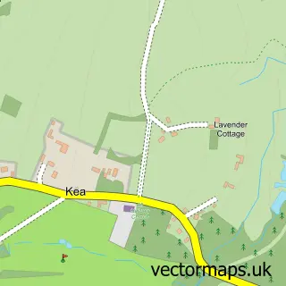
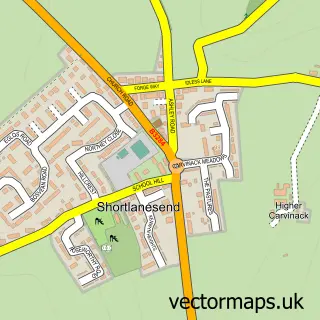
Nearby street map samples around Threemilestone

More street maps in Cornwall
750 metre map area coverage
Boundary, postcode and point of interest information for the 750m x 750m rectangle centred on this sample map.
Boundaries containing map centre
Constituency: Truro and Falmouth Co Const
District: Cornwall
Icb: NHS Cornwall and the Isles of Scilly ICB
Parish: Kenwyn CP
Police Force: devon and cornwall
Postcode District: TR3
Postcode Sector: TR3 6
Nearby boundaries intersecting sample
Postcode District: TR4
Postcode Sector: TR4 8, TR4 9
Postcode coverage
POI category counts
Coffee Shop: 3
Financial Service: 3
Home Goods Store: 3
Post Office: 3
Automotive Parts And Accessories: 2
Building Supply Store: 2
Business Management Services: 2
Cabin: 2
Car Dealer: 2
Church Cathedral: 2
Sample points of interest
- Whyfield
- Cornwall Care
- Cornwall Glass
- Euro Car Parts
- Euro Car Parts
- TMS Garage
- Warrens Bakery
- Lowenek Hair & Beauty
- Elite Hair & Beauty
- Subway
- Visions UK
- Mike's Window Cleaning
Create a larger editable map of Threemilestone
This sample shows only a 750 metre area. To create a larger map of Threemilestone, use our map builder to choose your own coverage area, add titles and download editable SVG, PDF and PNG files.
Create a custom map of Threemilestone