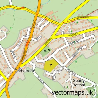
This Chacewater street map is a detailed vector street map covering a 750m x 750m area. Select a larger area to create and download your own vector street map of Chacewater.
The 750-metre map sample for Chacewater covers 244 mapped buildings and approximately 10.5 km of road detail, of which 19 named roads are named. The immediate area includes 1 school, 1 GP surgery, 1 pub and 12 MOT stations within 2 miles. The wider area around Chacewater features 1 tourism point of interest, 2 food and drink venues and 1 hotel. To create a larger or custom map of Chacewater, the map builder lets you define your own coverage area and download editable SVG, PDF and PNG files.
Create a larger editable map of Chacewater
Choose any area you need and generate a high-quality vector map instantly. Perfect for print, planning, design, business and personal use.

This Chacewater street map in Cornwall is available as downloadable SVG, PDF and PNG map files, or as a printed map for planning, business, display, education, local information and design work. You can also create a larger custom map area using the map selector.
What this Chacewater map sample shows
Chacewater lies within Chacewater Cp parish, part of Chacewater, Kenwyn And Baldhu ward in the Cornwall local authority area. The postcode geography for this area includes the TR postcode area, the TR4 postcode district and the TR4 8 postcode sector. Residents fall under the Nhs Cornwall And The Isles Of Scilly Integrated Care Board for NHS services.
Local features near Chacewater
Within 2 milesAmenities and services in and around Chacewater.
Administrative and postcode information for Chacewater
The local authority covering Chacewater is Cornwall, within the county of Cornwall. The settlement lies within Chacewater, Kenwyn And Baldhu ward and Chacewater Cp civil parish. The TR4 postcode district and TR4 8 postcode sector serve the immediate area. NHS provision in the area is delivered through Royal Cornwall Hospitals Nhs Trust.
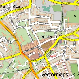
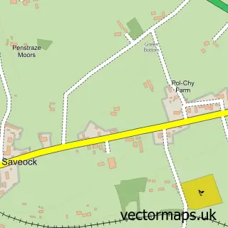
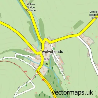
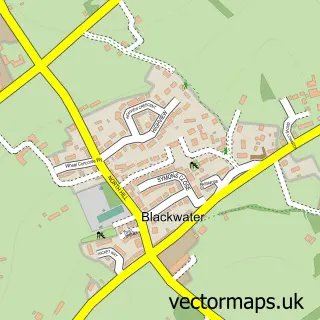
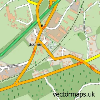
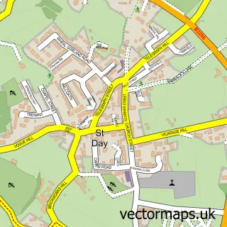
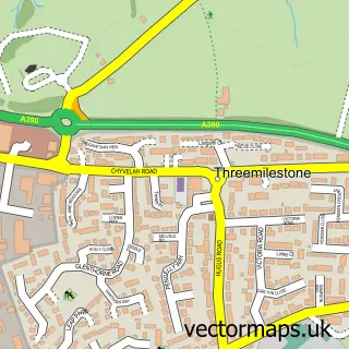
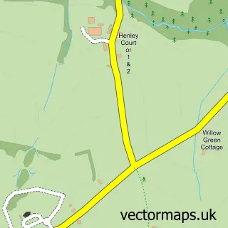
Nearby street map samples around Chacewater

More street maps in Cornwall
750 metre map area coverage
Boundary, postcode and point of interest information for the 750m x 750m rectangle centred on this sample map.
Boundaries containing map centre
Constituency: Truro and Falmouth Co Const
District: Cornwall
Icb: NHS Cornwall and the Isles of Scilly ICB
Parish: Chacewater CP
Police Force: devon and cornwall
Postcode District: TR4
Postcode Sector: TR4 8
Nearby boundaries intersecting sample
No additional intersecting boundaries found.
Postcode coverage
POI category counts
Building Supply Store: 3
Elementary School: 2
Sports Club And League: 2
Anglican Church: 1
Arts And Crafts: 1
Bakery: 1
Beauty Salon: 1
Betting Center: 1
Catholic Church: 1
Community Center: 1
Sample points of interest
- Chacewater: St Paul
- Alina's Wooly Wonders
- Jenna's Signature Bakes
- H & I Beauty Retreat
- William Hill
- Alfresco Landscapes
- JMR Carpentry
- Lavis Electrical Services
- St Pauls Parish Church Chacewater
- Chacewater Village Hall
- South West Community Builds
- Chacewater Health Centre
Create a larger editable map of Chacewater
This sample shows only a 750 metre area. To create a larger map of Chacewater, use our map builder to choose your own coverage area, add titles and download editable SVG, PDF and PNG files.
Create a custom map of Chacewater