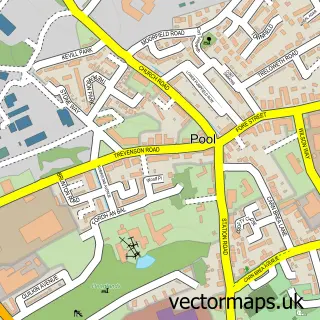
This Camborne street map is a detailed vector street map covering a 750m x 750m area. Select a larger area to create and download your own vector street map of Camborne.
The 750-metre map sample for Camborne covers 507 mapped buildings and approximately 22.7 km of road detail, of which 58 named roads are named. The immediate area includes 2 GP surgeries within 2 miles, 6 pubs and 2 MOT stations, with 12 within 2 miles. The wider area around Camborne features 1 tourism point of interest, 20 food and drink venues and 3 hotels. To create a larger or custom map of Camborne, the map builder lets you define your own coverage area and download editable SVG, PDF and PNG files.
Create a larger editable map of Camborne
Choose any area you need and generate a high-quality vector map instantly. Perfect for print, planning, design, business and personal use.

This Camborne street map in Cornwall is available as downloadable SVG, PDF and PNG map files, or as a printed map for planning, business, display, education, local information and design work. You can also create a larger custom map area using the map selector.
What this Camborne map sample shows
Camborne lies within Camborne Cp parish, part of Camborne Trelowarren ward in the Cornwall local authority area. The postcode geography for this area includes the TR postcode area, the TR14 postcode district and the TR14 8 postcode sector. Residents fall under the Nhs Cornwall And The Isles Of Scilly Integrated Care Board for NHS services.
Local features near Camborne
Within 2 milesAmenities and services in and around Camborne.
Administrative and postcode information for Camborne
The local authority covering Camborne is Cornwall, within the county of Cornwall. The settlement lies within Camborne Trelowarren ward and Camborne Cp civil parish. The TR14 postcode district and TR14 8 postcode sector serve the immediate area. NHS provision in the area is delivered through Royal Cornwall Hospitals Nhs Trust.
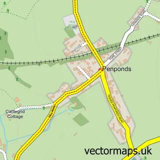
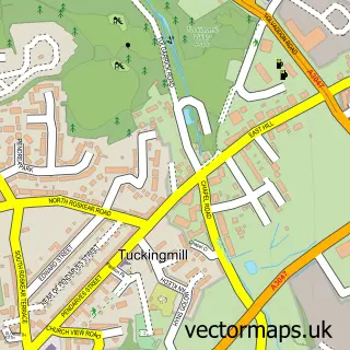
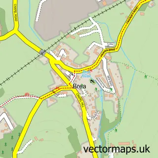
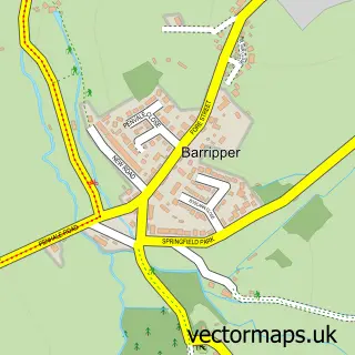
Nearby street map samples around Camborne

More street maps in Cornwall
750 metre map area coverage
Boundary, postcode and point of interest information for the 750m x 750m rectangle centred on this sample map.
Boundaries containing map centre
Constituency: Camborne and Redruth Co Const
District: Cornwall
Icb: NHS Cornwall and the Isles of Scilly ICB
Parish: Camborne CP
Police Force: devon and cornwall
Postcode District: TR14
Postcode Sector: TR14 8
Nearby boundaries intersecting sample
Postcode Sector: TR14 7
Postcode coverage
POI category counts
Beauty Salon: 15
Clothing Store: 10
Barber: 8
Chinese Restaurant: 8
Cafe: 7
Flowers And Gifts Shop: 7
Real Estate Agent: 7
Tattoo And Piercing: 7
Taxi Service: 7
Indian Restaurant: 6
Sample points of interest
- Camborne Complementary Health Centre
- St Martin & St Meriadoc Church of England Church
- St Martin and St Meriadoc, Camborne
- Chinchillas 2 Home
- Peninsula Cheque Exchange
- St. Julias Hospice Shop
- Miller Countrywide
- Trevada Music Ltd.
- Lovegoods
- A Darn Good Yarn
- Craftlings
- ClipperBar Camborne
Create a larger editable map of Camborne
This sample shows only a 750 metre area. To create a larger map of Camborne, use our map builder to choose your own coverage area, add titles and download editable SVG, PDF and PNG files.
Create a custom map of Camborne