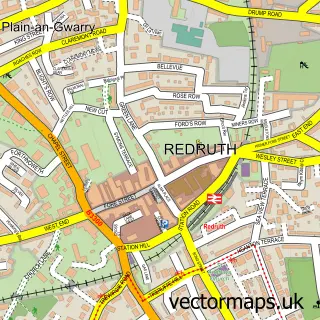
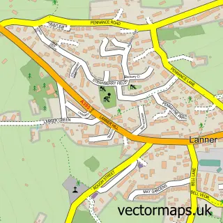
This Four Lanes street map is a detailed vector street map covering a 750m x 750m area. Select a larger area to create and download your own vector street map of Four Lanes.
The 750-metre map sample for Four Lanes covers 297 mapped buildings and approximately 10.1 km of road detail, of which 17 named roads are named. The immediate area includes 1 school, 2 pubs and 1 MOT station, with 7 within 2 miles. The wider area around Four Lanes features 2 food and drink venues and 4 campsites within 2 miles. To create a larger or custom map of Four Lanes, the map builder lets you define your own coverage area and download editable SVG, PDF and PNG files.
Create a larger editable map of Four Lanes
Choose any area you need and generate a high-quality vector map instantly. Perfect for print, planning, design, business and personal use.

This Four Lanes street map in Cornwall is available as downloadable SVG, PDF and PNG map files, or as a printed map for planning, business, display, education, local information and design work. You can also create a larger custom map area using the map selector.
What this Four Lanes map sample shows
Four Lanes lies within Carn Brea Cp parish, part of Four Lanes ward in the Cornwall local authority area. The postcode geography for this area includes the TR postcode area, the TR16 postcode district and the TR16 6 postcode sector. Residents fall under the Nhs Cornwall And The Isles Of Scilly Integrated Care Board for NHS services.
Local features near Four Lanes
Within 2 milesAmenities and services in and around Four Lanes.
Administrative and postcode information for Four Lanes
Four Lanes lies within Carn Brea Cp parish, part of Four Lanes ward in the Cornwall local authority area. The postcode geography for this area includes the TR postcode area, the TR16 postcode district and the TR16 6 postcode sector. Residents fall under the Nhs Cornwall And The Isles Of Scilly Integrated Care Board for NHS services.
Nearby street map samples around Four Lanes

More street maps in Cornwall
750 metre map area coverage
Boundary, postcode and point of interest information for the 750m x 750m rectangle centred on this sample map.
Boundaries containing map centre
Constituency: Camborne and Redruth Co Const
District: Cornwall
Icb: NHS Cornwall and the Isles of Scilly ICB
Parish: Carn Brea CP
Police Force: devon and cornwall
Postcode District: TR16
Postcode Sector: TR16 6
Nearby boundaries intersecting sample
Constituency: St. Ives Co Const
Parish: Wendron CP
Postcode coverage
POI category counts
Church Cathedral: 2
Movers: 2
Pub: 2
Anglican Church: 1
Automotive Repair: 1
Bed And Breakfast: 1
Building Contractor: 1
Building Supply Store: 1
Carpet Store: 1
Cleaning Services: 1
Sample points of interest
- Pencoys: St Andrew
- Central Garage
- Loscombe House Bed and Breakfast
- James Contracting
- Cornwall Decorators
- Phil's Fluffy Floorings
- Pencoys Church Hall
- St Andrew's Church
- Multifarious Cleaning Services
- Premier Four Lane Stores
- Smile-art Dental Studio
- Colin Herman School of Motoring
Create a larger editable map of Four Lanes
This sample shows only a 750 metre area. To create a larger map of Four Lanes, use our map builder to choose your own coverage area, add titles and download editable SVG, PDF and PNG files.
Create a custom map of Four Lanes