This Lanner street map is a detailed vector street map covering a 750m x 750m area. Select a larger area to create and download your own vector street map of Lanner.
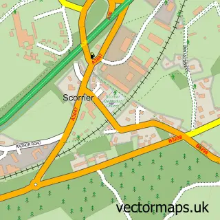
The 750-metre map sample for Lanner covers 427 mapped buildings and approximately 13.5 km of road detail, of which 21 named roads are named. The immediate area includes 1 school, 1 GP surgery within 2 miles, 1 pub and 11 MOT stations within 2 miles. The wider area around Lanner features 1 food and drink venue and 3 campsites within 2 miles. To create a larger or custom map of Lanner, the map builder lets you define your own coverage area and download editable SVG, PDF and PNG files.
Create a larger editable map of Lanner
Choose any area you need and generate a high-quality vector map instantly. Perfect for print, planning, design, business and personal use.

This Lanner street map in Cornwall is available as downloadable SVG, PDF and PNG map files, or as a printed map for planning, business, display, education, local information and design work. You can also create a larger custom map area using the map selector.
What this Lanner map sample shows
Lanner lies within Lanner Cp parish, part of Lanner And Stithians ward in the Cornwall local authority area. The postcode geography for this area includes the TR postcode area, the TR16 postcode district and the TR16 6 postcode sector. Residents fall under the Nhs Cornwall And The Isles Of Scilly Integrated Care Board for NHS services.
Local features near Lanner
Within 2 milesAmenities and services in and around Lanner.
Administrative and postcode information for Lanner
Lanner lies within Lanner Cp parish, part of Lanner And Stithians ward in the Cornwall local authority area. The postcode geography for this area includes the TR postcode area, the TR16 postcode district and the TR16 6 postcode sector. Residents fall under the Nhs Cornwall And The Isles Of Scilly Integrated Care Board for NHS services.
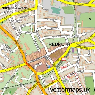
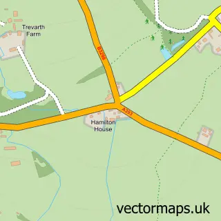
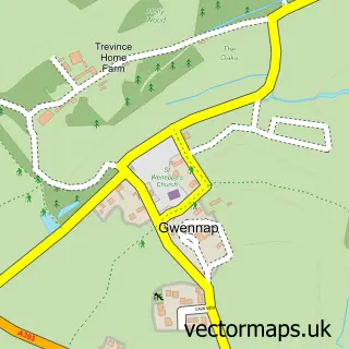
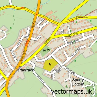
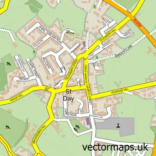
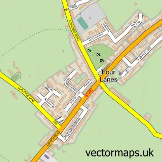
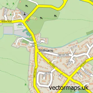
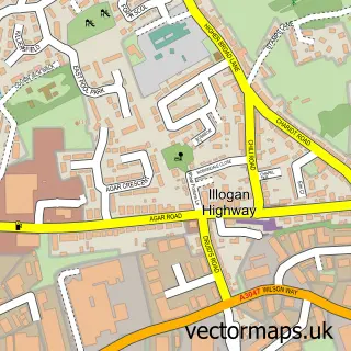
Nearby street map samples around Lanner

More street maps in Cornwall
750 metre map area coverage
Boundary, postcode and point of interest information for the 750m x 750m rectangle centred on this sample map.
Boundaries containing map centre
Constituency: Camborne and Redruth Co Const
District: Cornwall
Icb: NHS Cornwall and the Isles of Scilly ICB
Parish: Lanner CP
Police Force: devon and cornwall
Postcode District: TR16
Postcode Sector: TR16 6
Nearby boundaries intersecting sample
Postcode Sector: TR16 5
Postcode coverage
POI category counts
Language School: 3
Building Supply Store: 1
Church Cathedral: 1
Community Center: 1
Construction Services: 1
Convenience Store: 1
Driving School: 1
Elementary School: 1
Employment Agencies: 1
Fish And Chips Restaurant: 1
Sample points of interest
- P B Construction Cornwall
- Lanner Christ Church
- Lanner Village Hall
- Brenden F Benson Building
- Londis
- Abery
- Lanner Primary School
- Kernow Hr
- Lanner Fish & Chip Shop
- Mawgan Gardeners
- Ellys Home and Garden Fairy
- A Touch of Class Horses
Create a larger editable map of Lanner
This sample shows only a 750 metre area. To create a larger map of Lanner, use our map builder to choose your own coverage area, add titles and download editable SVG, PDF and PNG files.
Create a custom map of Lanner