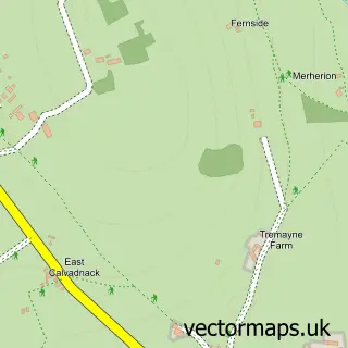
This Rame street map is a detailed vector street map covering a 750m x 750m area. Select a larger area to create and download your own vector street map of Rame.
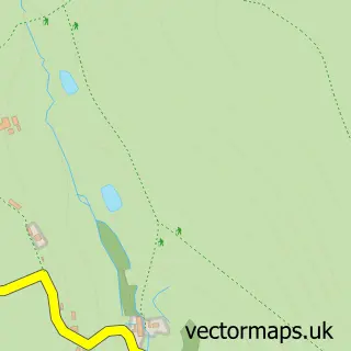
The 750-metre map sample for Rame covers 134 mapped buildings and approximately 9.1 km of road detail, of which 4 named roads are named. The immediate area includes 1 pub and 2 MOT stations within 2 miles. The wider area around Rame features 1 food and drink venue and 2 campsites within 2 miles. To create a larger or custom map of Rame, the map builder lets you define your own coverage area and download editable SVG, PDF and PNG files.
Create a larger editable map of Rame
Choose any area you need and generate a high-quality vector map instantly. Perfect for print, planning, design, business and personal use.

This Rame street map in Cornwall is available as downloadable SVG, PDF and PNG map files, or as a printed map for planning, business, display, education, local information and design work. You can also create a larger custom map area using the map selector.
What this Rame map sample shows
Rame lies within Wendron Cp parish, part of Crowan And Wendron ward in the Cornwall local authority area. The postcode geography for this area includes the TR postcode area, the TR10 postcode district and the TR10 9 postcode sector. Residents fall under the Nhs Cornwall And The Isles Of Scilly Integrated Care Board for NHS services.
Local features near Rame
Within 2 milesAmenities and services in and around Rame.
Administrative and postcode information for Rame
The local authority covering Rame is Cornwall, within the county of Cornwall. The settlement lies within Crowan And Wendron ward and Wendron Cp civil parish. The TR10 postcode district and TR10 9 postcode sector serve the immediate area. NHS provision in the area is delivered through Royal Cornwall Hospitals Nhs Trust.
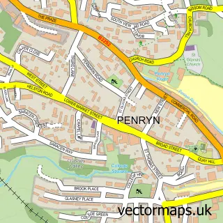
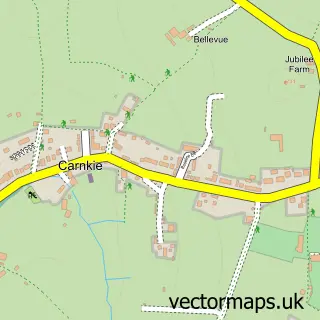
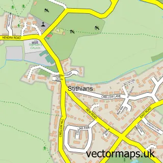
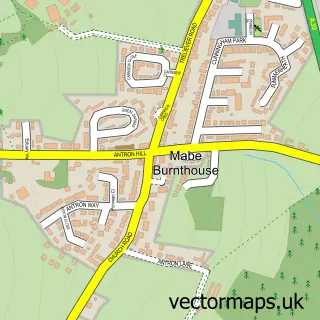
Nearby street map samples around Rame

More street maps in Cornwall
750 metre map area coverage
Boundary, postcode and point of interest information for the 750m x 750m rectangle centred on this sample map.
Boundaries containing map centre
Constituency: St. Ives Co Const
District: Cornwall
Icb: NHS Cornwall and the Isles of Scilly ICB
Parish: Wendron CP
Police Force: devon and cornwall
Postcode District: TR10
Postcode Sector: TR10 9
Nearby boundaries intersecting sample
Constituency: Camborne and Redruth Co Const
Parish: Constantine CP, Stithians CP
Postcode coverage
POI category counts
Convenience Store: 2
Arts And Entertainment: 1
Automotive Repair: 1
Bar: 1
Beach: 1
Financial Service: 1
Herbal Shop: 1
Knitting Supply: 1
Pub: 1
Trailer Dealer: 1
Sample points of interest
- Lestraynes
- B.M Mechanical Mobile Mechanic
- Halfway House Rame Cross
- Halzephron - Fishermans Cove
- Post Office
- Rame Cross Post Office
- Maytree Consulting
- Cornish Herb Grower
- Hello Blinds
- Halfway House
- MC Towbars & Trailers
Create a larger editable map of Rame
This sample shows only a 750 metre area. To create a larger map of Rame, use our map builder to choose your own coverage area, add titles and download editable SVG, PDF and PNG files.
Create a custom map of Rame