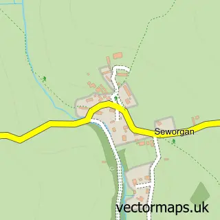
This Porkellis street map is a detailed vector street map covering a 750m x 750m area. Select a larger area to create and download your own vector street map of Porkellis.
The 750-metre map sample for Porkellis covers 123 mapped buildings and approximately 6.9 km of road detail, of which 1 named road are named. The immediate area includes 1 pub and 1 MOT station, with 2 within 2 miles. The wider area around Porkellis features 1 food and drink venue, 1 hotel and 1 campsite within 2 miles. To create a larger or custom map of Porkellis, the map builder lets you define your own coverage area and download editable SVG, PDF and PNG files.
Create a larger editable map of Porkellis
Choose any area you need and generate a high-quality vector map instantly. Perfect for print, planning, design, business and personal use.

This Porkellis street map in Cornwall is available as downloadable SVG, PDF and PNG map files, or as a printed map for planning, business, display, education, local information and design work. You can also create a larger custom map area using the map selector.
What this Porkellis map sample shows
Porkellis lies within Wendron Cp parish, part of Crowan And Wendron ward in the Cornwall local authority area. The postcode geography for this area includes the TR postcode area, the TR13 postcode district and the TR13 0 postcode sector. Residents fall under the Nhs Cornwall And The Isles Of Scilly Integrated Care Board for NHS services.
Local features near Porkellis
Within 2 milesAmenities and services in and around Porkellis.
Administrative and postcode information for Porkellis
Porkellis lies within Wendron Cp parish, part of Crowan And Wendron ward in the Cornwall local authority area. The postcode geography for this area includes the TR postcode area, the TR13 postcode district and the TR13 0 postcode sector. Residents fall under the Nhs Cornwall And The Isles Of Scilly Integrated Care Board for NHS services.
Nearby street map samples around Porkellis


More street maps in Cornwall
750 metre map area coverage
Boundary, postcode and point of interest information for the 750m x 750m rectangle centred on this sample map.
Boundaries containing map centre
Constituency: St. Ives Co Const
District: Cornwall
Icb: NHS Cornwall and the Isles of Scilly ICB
Parish: Wendron CP
Police Force: devon and cornwall
Postcode District: TR13
Postcode Sector: TR13 0
Nearby boundaries intersecting sample
No additional intersecting boundaries found.
Postcode coverage
POI category counts
Automotive Repair: 1
Contractor: 1
Day Care Preschool: 1
Education: 1
Elementary School: 1
Holiday Rental Home: 1
Hotel: 1
Landscaping: 1
Naturopathic Holistic: 1
Post Office: 1
Sample points of interest
- Ian Paull Car Repairs
- Sequoia Environmental
- Muddy Puddles Childcare Garlidna Farm
- Carthvean Camelids
- Halwin Pre-school
- Enys Boathouse
- Toad Hall Studio Retreat
- Heartwood Tree and Garden Services
- Blake Ray Eley
- Post Office-Porkellis
- The Star Inn
- Keynvor Roofing
Create a larger editable map of Porkellis
This sample shows only a 750 metre area. To create a larger map of Porkellis, use our map builder to choose your own coverage area, add titles and download editable SVG, PDF and PNG files.
Create a custom map of Porkellis