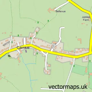
This Mabe Burnthouse street map is a detailed vector street map covering a 750m x 750m area. Select a larger area to create and download your own vector street map of Mabe Burnthouse.
The 750-metre map sample for Mabe Burnthouse covers 311 mapped buildings and approximately 10.8 km of road detail, of which 15 named roads are named. The immediate area includes 1 school, 1 GP surgery within 2 miles, 1 pub and 8 MOT stations within 2 miles. The wider area around Mabe Burnthouse features 2 tourism points of interest, 1 food and drink venue and 2 campsites within 2 miles. To create a larger or custom map of Mabe Burnthouse, the map builder lets you define your own coverage area and download editable SVG, PDF and PNG files.
Create a larger editable map of Mabe Burnthouse
Choose any area you need and generate a high-quality vector map instantly. Perfect for print, planning, design, business and personal use.

This Mabe Burnthouse street map in Cornwall is available as downloadable SVG, PDF and PNG map files, or as a printed map for planning, business, display, education, local information and design work. You can also create a larger custom map area using the map selector.
What this Mabe Burnthouse map sample shows
Mabe Burnthouse lies within Mabe Cp parish, part of Mabe, Perranarworthal And St Gluvias ward in the Cornwall local authority area. The postcode geography for this area includes the TR postcode area, the TR10 postcode district and the TR10 9 postcode sector. Residents fall under the Nhs Cornwall And The Isles Of Scilly Integrated Care Board for NHS services.
Local features near Mabe Burnthouse
Within 2 milesAmenities and services in and around Mabe Burnthouse.
Administrative and postcode information for Mabe Burnthouse
The local authority covering Mabe Burnthouse is Cornwall, within the county of Cornwall. The settlement lies within Mabe, Perranarworthal And St Gluvias ward and Mabe Cp civil parish. The TR10 postcode district and TR10 9 postcode sector serve the immediate area. NHS provision in the area is delivered through Royal Cornwall Hospitals Nhs Trust.
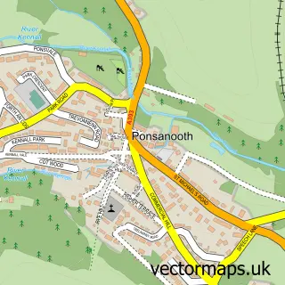
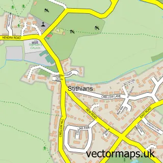
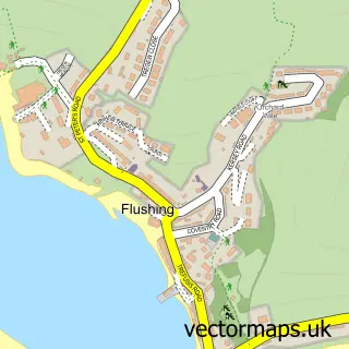
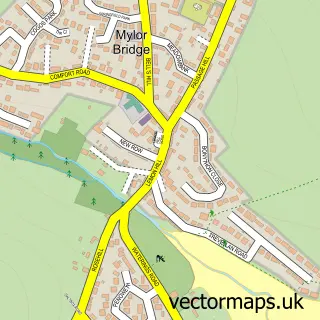
Nearby street map samples around Mabe Burnthouse
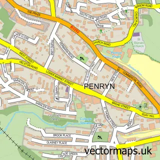

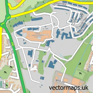
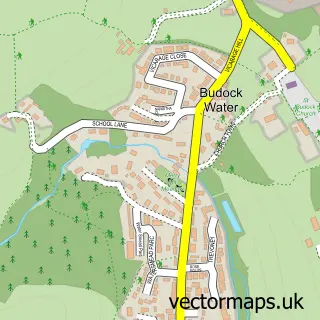
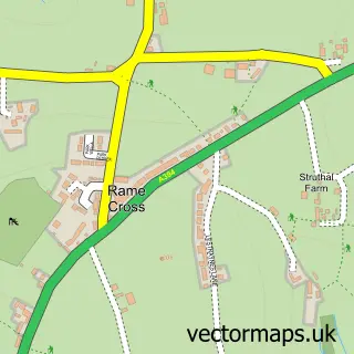
More street maps in Cornwall
750 metre map area coverage
Boundary, postcode and point of interest information for the 750m x 750m rectangle centred on this sample map.
Boundaries containing map centre
Constituency: Camborne and Redruth Co Const
District: Cornwall
Icb: NHS Cornwall and the Isles of Scilly ICB
Parish: Mabe CP
Police Force: devon and cornwall
Postcode District: TR10
Postcode Sector: TR10 9
Nearby boundaries intersecting sample
Constituency: Truro and Falmouth Co Const
Parish: Penryn CP
Postcode coverage
POI category counts
Post Office: 2
Beauty And Spa: 1
Building Supply Store: 1
Carpenter: 1
College University: 1
Community Center: 1
Community Services Non Profits: 1
Convenience Store: 1
Cottage: 1
Education: 1
Sample points of interest
- The Beauty Lounge
- DJM Electrical Services
- Stephan Roux
- University of Exeter Model United Nations (Cornwall)
- Mabe Youth and Community Project
- Mabe Community Hub
- Premier Mabe Stores & PO
- Cornwall Cosy Campers
- Mabe Community Primary School
- Andrew Symons Electrical Contractors
- Mabe Community Primary School
- SUEZ recycling And recovery UK
Create a larger editable map of Mabe Burnthouse
This sample shows only a 750 metre area. To create a larger map of Mabe Burnthouse, use our map builder to choose your own coverage area, add titles and download editable SVG, PDF and PNG files.
Create a custom map of Mabe Burnthouse