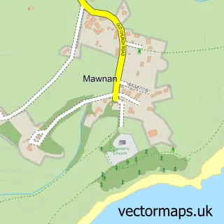
This Budock Water street map is a detailed vector street map covering a 750m x 750m area. Select a larger area to create and download your own vector street map of Budock Water.
The 750-metre map sample for Budock Water covers 220 mapped buildings and approximately 6.8 km of road detail, of which 12 named roads are named. The immediate area includes 4 GP surgeries within 2 miles, 2 pubs and 10 MOT stations within 2 miles. The wider area around Budock Water features 1 tourism point of interest, 3 food and drink venues and 4 campsites within 2 miles. To create a larger or custom map of Budock Water, the map builder lets you define your own coverage area and download editable SVG, PDF and PNG files.
Create a larger editable map of Budock Water
Choose any area you need and generate a high-quality vector map instantly. Perfect for print, planning, design, business and personal use.

This Budock Water street map in Cornwall is available as downloadable SVG, PDF and PNG map files, or as a printed map for planning, business, display, education, local information and design work. You can also create a larger custom map area using the map selector.
What this Budock Water map sample shows
Budock Water lies within Budock Cp parish, part of Constantine, Mawnan And Budock ward in the Cornwall local authority area. The postcode geography for this area includes the TR postcode area, the TR11 postcode district and the TR11 5 postcode sector. Residents fall under the Nhs Cornwall And The Isles Of Scilly Integrated Care Board for NHS services.
Local features near Budock Water
Within 2 milesAmenities and services in and around Budock Water.
Administrative and postcode information for Budock Water
The local authority covering Budock Water is Cornwall, within the county of Cornwall. The settlement lies within Constantine, Mawnan And Budock ward and Budock Cp civil parish. The TR11 postcode district and TR11 5 postcode sector serve the immediate area. NHS provision in the area is delivered through Royal Cornwall Hospitals Nhs Trust.
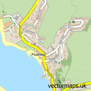
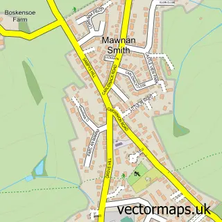
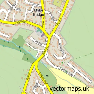
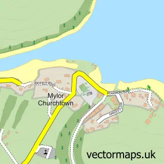
Nearby street map samples around Budock Water

More street maps in Cornwall
750 metre map area coverage
Boundary, postcode and point of interest information for the 750m x 750m rectangle centred on this sample map.
Boundaries containing map centre
Constituency: Truro and Falmouth Co Const
District: Cornwall
Icb: NHS Cornwall and the Isles of Scilly ICB
Parish: Budock CP
Police Force: devon and cornwall
Postcode District: TR11
Postcode Sector: TR11 5
Nearby boundaries intersecting sample
Postcode Sector: TR11 4
Postcode coverage
POI category counts
Church Cathedral: 2
Hair Salon: 2
Pub: 2
Alternative Medicine: 1
Beauty Salon: 1
Building Supply Store: 1
Community Services Non Profits: 1
Convenience Store: 1
European Restaurant: 1
Florist: 1
Sample points of interest
- Amanda Bramwell
- Hair by Kelly
- Robert Carslaw Design
- Budock Church Administration Office
- St Budock Parish Church
- Pendennis Brass Falmouth
- Budock Water Village Stores
- Cj's at The sanctuary
- Purely Flowers
- B Kaha Ceramics
- Cornish Native Oysters
- Bubblegum Hair Salon
Create a larger editable map of Budock Water
This sample shows only a 750 metre area. To create a larger map of Budock Water, use our map builder to choose your own coverage area, add titles and download editable SVG, PDF and PNG files.
Create a custom map of Budock Water