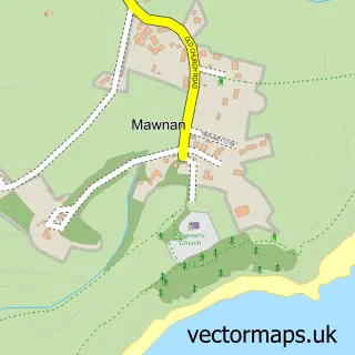
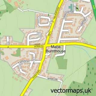
This Mawnan Smith street map is a detailed vector street map covering a 750m x 750m area. Select a larger area to create and download your own vector street map of Mawnan Smith.
The 750-metre map sample for Mawnan Smith covers 313 mapped buildings and approximately 12.7 km of road detail, of which 19 named roads are named. The immediate area includes 1 school, 2 pubs and 1 MOT station, with 2 within 2 miles. The wider area around Mawnan Smith features 3 food and drink venues, 2 hotels and 2 campsites within 2 miles. To create a larger or custom map of Mawnan Smith, the map builder lets you define your own coverage area and download editable SVG, PDF and PNG files.
Create a larger editable map of Mawnan Smith
Choose any area you need and generate a high-quality vector map instantly. Perfect for print, planning, design, business and personal use.

This Mawnan Smith street map in Cornwall is available as downloadable SVG, PDF and PNG map files, or as a printed map for planning, business, display, education, local information and design work. You can also create a larger custom map area using the map selector.
What this Mawnan Smith map sample shows
Mawnan Smith lies within Mawnan Cp parish, part of Constantine, Mawnan And Budock ward in the Cornwall local authority area. The postcode geography for this area includes the TR postcode area, the TR11 postcode district and the TR11 5 postcode sector. Residents fall under the Nhs Cornwall And The Isles Of Scilly Integrated Care Board for NHS services.
Local features near Mawnan Smith
Within 2 milesAmenities and services in and around Mawnan Smith.
Administrative and postcode information for Mawnan Smith
The local authority covering Mawnan Smith is Cornwall, within the county of Cornwall. The settlement lies within Constantine, Mawnan And Budock ward and Mawnan Cp civil parish. The TR11 postcode district and TR11 5 postcode sector serve the immediate area. NHS provision in the area is delivered through Royal Cornwall Hospitals Nhs Trust.
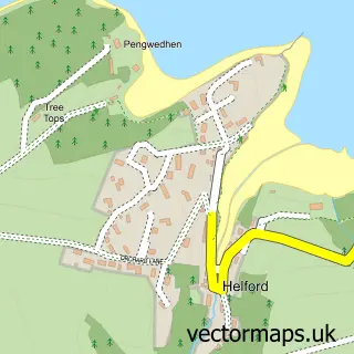
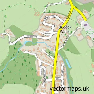
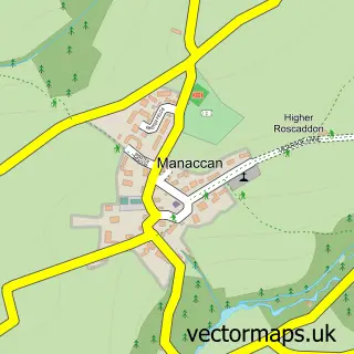
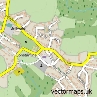
Nearby street map samples around Mawnan Smith

More street maps in Cornwall
750 metre map area coverage
Boundary, postcode and point of interest information for the 750m x 750m rectangle centred on this sample map.
Boundaries containing map centre
Constituency: Camborne and Redruth Co Const
District: Cornwall
Icb: NHS Cornwall and the Isles of Scilly ICB
Parish: Mawnan CP
Police Force: devon and cornwall
Postcode District: TR11
Postcode Sector: TR11 5
Nearby boundaries intersecting sample
No additional intersecting boundaries found.
Postcode coverage
POI category counts
Post Office: 3
Doctor: 2
Hair Salon: 2
Hotel: 2
Pub: 2
Anglican Church: 1
Art Gallery: 1
Arts And Crafts: 1
Auto Electrical Repair: 1
Automotive Repair: 1
Sample points of interest
- Mawnan: St Michael
- Smart Penguin Studio
- Firedforms
- Simply Electric Solutions
- Goldmartin Garage
- Trevarn B&B
- Alchemy Tiles
- One Of a Kind
- Hog Roast Falmouth
- AWNA coffeehouse
- Mawnan Smith Surgery
- The Penryn Surgery
Create a larger editable map of Mawnan Smith
This sample shows only a 750 metre area. To create a larger map of Mawnan Smith, use our map builder to choose your own coverage area, add titles and download editable SVG, PDF and PNG files.
Create a custom map of Mawnan Smith