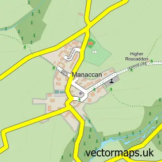
This Constantine street map is a detailed vector street map covering a 750m x 750m area. Select a larger area to create and download your own vector street map of Constantine.
The 750-metre map sample for Constantine covers 308 mapped buildings and approximately 11.1 km of road detail, of which 17 named roads are named. The immediate area includes 1 school, 1 pub and 1 MOT station within 2 miles. The wider area around Constantine features 1 food and drink venue, 1 hotel and 2 campsites within 2 miles. To create a larger or custom map of Constantine, the map builder lets you define your own coverage area and download editable SVG, PDF and PNG files.
Create a larger editable map of Constantine
Choose any area you need and generate a high-quality vector map instantly. Perfect for print, planning, design, business and personal use.

This Constantine street map in Cornwall is available as downloadable SVG, PDF and PNG map files, or as a printed map for planning, business, display, education, local information and design work. You can also create a larger custom map area using the map selector.
What this Constantine map sample shows
Constantine lies within Constantine Cp parish, part of Constantine, Mawnan And Budock ward in the Cornwall local authority area. The postcode geography for this area includes the TR postcode area, the TR11 postcode district and the TR11 5 postcode sector. Residents fall under the Nhs Cornwall And The Isles Of Scilly Integrated Care Board for NHS services.
Local features near Constantine
Within 2 milesAmenities and services in and around Constantine.
Administrative and postcode information for Constantine
The local authority covering Constantine is Cornwall, within the county of Cornwall. The settlement lies within Constantine, Mawnan And Budock ward and Constantine Cp civil parish. The TR11 postcode district and TR11 5 postcode sector serve the immediate area. NHS provision in the area is delivered through Royal Cornwall Hospitals Nhs Trust.
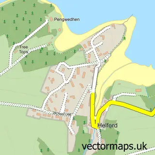
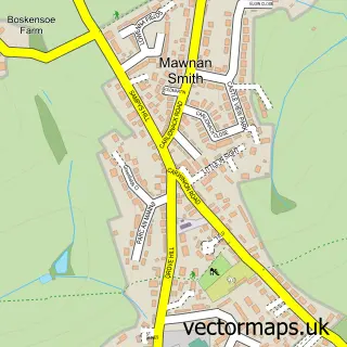
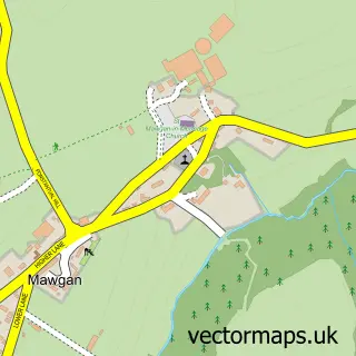
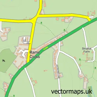
Nearby street map samples around Constantine

More street maps in Cornwall
750 metre map area coverage
Boundary, postcode and point of interest information for the 750m x 750m rectangle centred on this sample map.
Boundaries containing map centre
Constituency: Camborne and Redruth Co Const
District: Cornwall
Icb: NHS Cornwall and the Isles of Scilly ICB
Parish: Constantine CP
Police Force: devon and cornwall
Postcode District: TR11
Postcode Sector: TR11 5
Nearby boundaries intersecting sample
No additional intersecting boundaries found.
Postcode coverage
POI category counts
Convenience Store: 2
Korean Grocery Store: 2
Post Office: 2
Sports Club And League: 2
Anglican Church: 1
Bar: 1
Charity Organization: 1
Church Cathedral: 1
Doctor: 1
Elementary School: 1
Sample points of interest
- Constantine: St Constantine
- The Queens Arms
- Guide Dogs For the Blind Association
- St Constantine Parish Church
- SPAR Constantine
- Spar
- Constantine Surgery
- Constantine Primary School
- Scorpio Electronics
- Competent Cooks
- Evri ParcelShop
- Constantine Woods
Create a larger editable map of Constantine
This sample shows only a 750 metre area. To create a larger map of Constantine, use our map builder to choose your own coverage area, add titles and download editable SVG, PDF and PNG files.
Create a custom map of Constantine