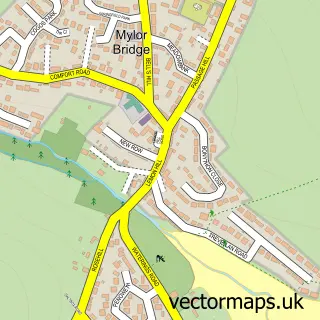
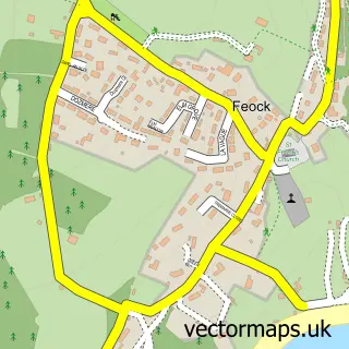
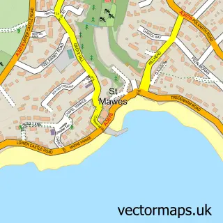
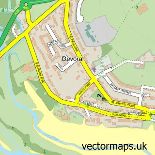
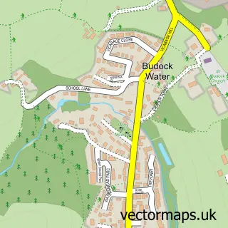
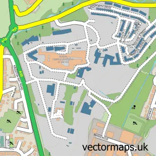
This Mylor Churchtown street map is a detailed vector street map covering a 750m x 750m area. Select a larger area to create and download your own vector street map of Mylor Churchtown.
The 750-metre map sample for Mylor Churchtown covers 71 mapped buildings and approximately 3.8 km of road detail, of which 4 named roads are named. The immediate area includes 4 MOT stations within 2 miles. The wider area around Mylor Churchtown features 1 tourism point of interest and 4 food and drink venues. To create a larger or custom map of Mylor Churchtown, the map builder lets you define your own coverage area and download editable SVG, PDF and PNG files.
Create a larger editable map of Mylor Churchtown
Choose any area you need and generate a high-quality vector map instantly. Perfect for print, planning, design, business and personal use.

This Mylor Churchtown street map in Cornwall is available as downloadable SVG, PDF and PNG map files, or as a printed map for planning, business, display, education, local information and design work. You can also create a larger custom map area using the map selector.
What this Mylor Churchtown map sample shows
Mylor Churchtown lies within Mylor Cp parish, part of Penryn East And Mylor ward in the Cornwall local authority area. The postcode geography for this area includes the TR postcode area, the TR11 postcode district and the TR11 5 postcode sector. Residents fall under the Nhs Cornwall And The Isles Of Scilly Integrated Care Board for NHS services.
Local features near Mylor Churchtown
Within 2 milesAmenities and services in and around Mylor Churchtown.
Administrative and postcode information for Mylor Churchtown
Mylor Churchtown lies within Mylor Cp parish, part of Penryn East And Mylor ward in the Cornwall local authority area. The postcode geography for this area includes the TR postcode area, the TR11 postcode district and the TR11 5 postcode sector. Residents fall under the Nhs Cornwall And The Isles Of Scilly Integrated Care Board for NHS services.
Nearby street map samples around Mylor Churchtown

More street maps in Cornwall
750 metre map area coverage
Boundary, postcode and point of interest information for the 750m x 750m rectangle centred on this sample map.
Boundaries containing map centre
Constituency: Truro and Falmouth Co Const
District: Cornwall
Icb: NHS Cornwall and the Isles of Scilly ICB
Parish: Mylor CP
Police Force: devon and cornwall
Postcode District: TR11
Postcode Sector: TR11 5
Nearby boundaries intersecting sample
No additional intersecting boundaries found.
Postcode coverage
POI category counts
Boat Rental And Training: 3
Active Life: 2
Restaurant: 2
Anglican Church: 1
Automotive: 1
Boat Dealer: 1
Boat Parts And Accessories: 1
Boat Parts And Supply Store: 1
Boat Tours: 1
Cafe: 1
Sample points of interest
- Coastland
- Falmouth River Watersports
- St Mylor, Mylor Churchtown
- Paul Kerridge Yacht Surveyor
- Windsport International
- Mylor Chandlery & Rigging
- Mylor Yacht Harbour
- Mylor Boat Hire
- Mylor Sailing & Powerboat School
- Take a Turn Yachting
- Falmouth Bay Tailored Boat Tours
- Cafe Mylor, Cornwall
Create a larger editable map of Mylor Churchtown
This sample shows only a 750 metre area. To create a larger map of Mylor Churchtown, use our map builder to choose your own coverage area, add titles and download editable SVG, PDF and PNG files.
Create a custom map of Mylor Churchtown