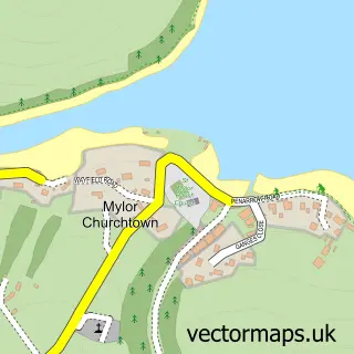
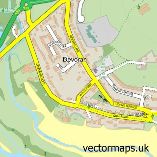
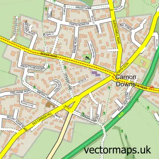
This Mylor Bridge street map is a detailed vector street map covering a 750m x 750m area. Select a larger area to create and download your own vector street map of Mylor Bridge.
The 750-metre map sample for Mylor Bridge covers 366 mapped buildings and approximately 11.0 km of road detail, of which 18 named roads are named. The immediate area includes 1 school, 1 GP surgery within 2 miles, 1 pub and 1 MOT station, with 7 within 2 miles. The wider area around Mylor Bridge features 2 food and drink venues. To create a larger or custom map of Mylor Bridge, the map builder lets you define your own coverage area and download editable SVG, PDF and PNG files.
Create a larger editable map of Mylor Bridge
Choose any area you need and generate a high-quality vector map instantly. Perfect for print, planning, design, business and personal use.

This Mylor Bridge street map in Cornwall is available as downloadable SVG, PDF and PNG map files, or as a printed map for planning, business, display, education, local information and design work. You can also create a larger custom map area using the map selector.
What this Mylor Bridge map sample shows
Mylor Bridge lies within Mylor Cp parish, part of Penryn East And Mylor ward in the Cornwall local authority area. The postcode geography for this area includes the TR postcode area, the TR11 postcode district and the TR11 5 postcode sector. Residents fall under the Nhs Cornwall And The Isles Of Scilly Integrated Care Board for NHS services.
Local features near Mylor Bridge
Within 2 milesAmenities and services in and around Mylor Bridge.
Administrative and postcode information for Mylor Bridge
The local authority covering Mylor Bridge is Cornwall, within the county of Cornwall. The settlement lies within Penryn East And Mylor ward and Mylor Cp civil parish. The TR11 postcode district and TR11 5 postcode sector serve the immediate area. NHS provision in the area is delivered through Royal Cornwall Hospitals Nhs Trust.
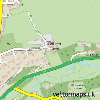
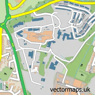
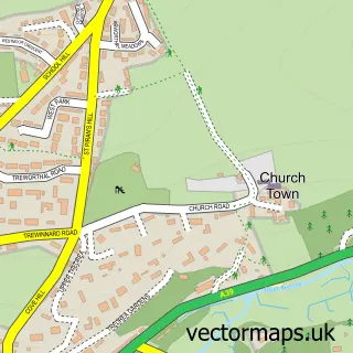
Nearby street map samples around Mylor Bridge
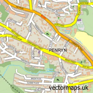

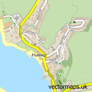
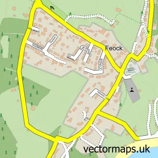
More street maps in Cornwall
750 metre map area coverage
Boundary, postcode and point of interest information for the 750m x 750m rectangle centred on this sample map.
Boundaries containing map centre
Constituency: Truro and Falmouth Co Const
District: Cornwall
Icb: NHS Cornwall and the Isles of Scilly ICB
Parish: Mylor CP
Police Force: devon and cornwall
Postcode District: TR11
Postcode Sector: TR11 5
Nearby boundaries intersecting sample
No additional intersecting boundaries found.
Postcode coverage
POI category counts
Post Office: 3
Gym: 2
River: 2
Sports Club And League: 2
Anglican Church: 1
Auto Electrical Repair: 1
Automotive Repair: 1
Beauty Salon: 1
Cafe: 1
Choir: 1
Sample points of interest
- All Saints, Mylor Bridge
- Jj Electrical
- Comfort Garage
- Cinnabar Health and Beauty Centre
- Isobel's of Mylor
- Mabe Ladies Choir
- Tremayne Hall Community Centre
- Costcutter
- Post Office Travel Money
- Gentle Dental UK Ltd
- Mylor Surgery
- Eric Boam
Create a larger editable map of Mylor Bridge
This sample shows only a 750 metre area. To create a larger map of Mylor Bridge, use our map builder to choose your own coverage area, add titles and download editable SVG, PDF and PNG files.
Create a custom map of Mylor Bridge