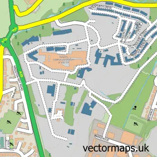
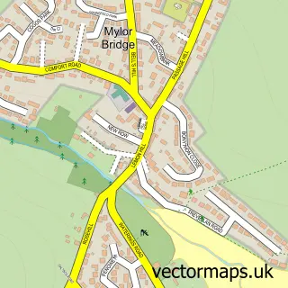
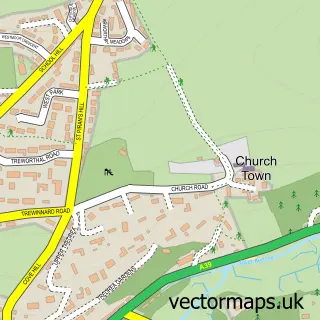
This Penryn street map is a detailed vector street map covering a 750m x 750m area. Select a larger area to create and download your own vector street map of Penryn.
The 750-metre map sample for Penryn covers 409 mapped buildings and approximately 21.0 km of road detail, of which 49 named roads are named. The immediate area includes 1 GP surgery, with 4 within 2 miles, 3 pubs and 1 MOT station, with 10 within 2 miles. The wider area around Penryn features 3 tourism points of interest, 11 food and drink venues and 1 hotel. To create a larger or custom map of Penryn, the map builder lets you define your own coverage area and download editable SVG, PDF and PNG files.
Create a larger editable map of Penryn
Choose any area you need and generate a high-quality vector map instantly. Perfect for print, planning, design, business and personal use.

This Penryn street map in Cornwall is available as downloadable SVG, PDF and PNG map files, or as a printed map for planning, business, display, education, local information and design work. You can also create a larger custom map area using the map selector.
What this Penryn map sample shows
Penryn lies within Penryn Cp parish, part of Penryn West ward in the Cornwall local authority area. The postcode geography for this area includes the TR postcode area, the TR10 postcode district and the TR10 8 postcode sector. Residents fall under the Nhs Cornwall And The Isles Of Scilly Integrated Care Board for NHS services.
Local features near Penryn
Within 2 milesAmenities and services in and around Penryn.
Administrative and postcode information for Penryn
The local authority covering Penryn is Cornwall, within the county of Cornwall. The settlement lies within Penryn West ward and Penryn Cp civil parish. The TR10 postcode district and TR10 8 postcode sector serve the immediate area. NHS provision in the area is delivered through Royal Cornwall Hospitals Nhs Trust.
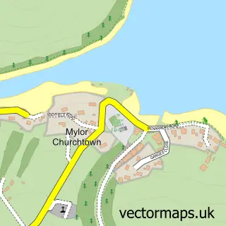
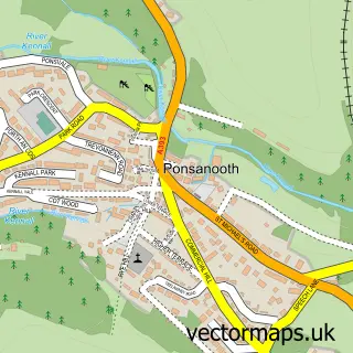
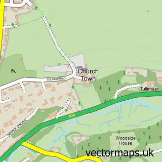
Nearby street map samples around Penryn

More street maps in Cornwall
750 metre map area coverage
Boundary, postcode and point of interest information for the 750m x 750m rectangle centred on this sample map.
Boundaries containing map centre
Constituency: Truro and Falmouth Co Const
District: Cornwall
Icb: NHS Cornwall and the Isles of Scilly ICB
Parish: Penryn CP
Police Force: devon and cornwall
Postcode District: TR10
Postcode Sector: TR10 8
Nearby boundaries intersecting sample
Postcode Sector: TR10 9
Postcode coverage
POI category counts
Art Gallery: 8
Professional Services: 8
Building Supply Store: 6
Furniture Store: 6
Printing Services: 6
Retail: 6
Arts And Crafts: 5
Automotive Repair: 5
Cafe: 5
Convenience Store: 5
Sample points of interest
- The Peloton - Chartered Accountants & Marketeers
- The Peloton: Chartered Accountants & Marketeers
- Nature Sparks
- Peaky Digital
- Radix Communications
- Ruby Antiques Ltd.
- The Old School Antiques
- R Pearce & Co
- Carbon Studios
- Fannie & Fox
- Open Space Galleries
- Terrace Gallery Cornwall
Create a larger editable map of Penryn
This sample shows only a 750 metre area. To create a larger map of Penryn, use our map builder to choose your own coverage area, add titles and download editable SVG, PDF and PNG files.
Create a custom map of Penryn