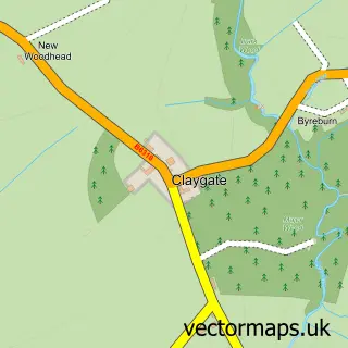
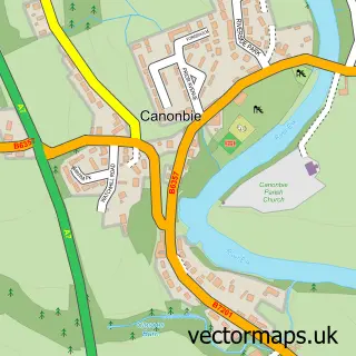
This Langholm street map is a detailed vector street map covering a 750m x 750m area. Select a larger area to create and download your own vector street map of Langholm.
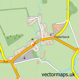
The 750-metre map sample for Langholm covers 281 mapped buildings and approximately 15.8 km of road detail, of which 42 named roads are named. The immediate area includes 1 GP surgery, 1 pub and 1 MOT station. The wider area around Langholm features 2 tourism points of interest, 2 food and drink venues and 5 hotels. To create a larger or custom map of Langholm, the map builder lets you define your own coverage area and download editable SVG, PDF and PNG files.
Create a larger editable map of Langholm
Choose any area you need and generate a high-quality vector map instantly. Perfect for print, planning, design, business and personal use.

This Langholm street map in Dumfries is available as downloadable SVG, PDF and PNG map files, or as a printed map for planning, business, display, education, local information and design work. You can also create a larger custom map area using the map selector.
What this Langholm map sample shows
Langholm lies within Dumfries And Galloway parish, part of Annandale East And Eskdale ward in the Dumfries And Galloway local authority area. The postcode geography for this area includes the DG postcode area, the DG13 postcode district and the DG13 0 postcode sector. Residents fall under the Dumfries And Galloway for NHS services.
Local features near Langholm
Within 2 milesAmenities and services in and around Langholm.
Administrative and postcode information for Langholm
Langholm lies within Dumfries And Galloway parish, part of Annandale East And Eskdale ward in the Dumfries And Galloway local authority area. The postcode geography for this area includes the DG postcode area, the DG13 postcode district and the DG13 0 postcode sector. Residents fall under the Dumfries And Galloway for NHS services.
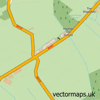
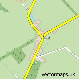
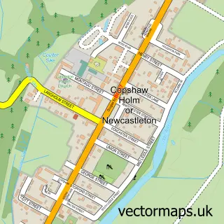
Nearby street map samples around Langholm

More street maps in Dumfries
750 metre map area coverage
Boundary, postcode and point of interest information for the 750m x 750m rectangle centred on this sample map.
Boundaries containing map centre
Constituency: Dumfriesshire, Clydesdale and Tweeddale Co Const
District: Dumfries and Galloway
Icb: Dumfries and Galloway
Postcode District: DG13
Postcode Sector: DG13 0
Ward: Annandale East and Eskdale Ward
Nearby boundaries intersecting sample
No additional intersecting boundaries found.
Postcode coverage
POI category counts
Hotel: 5
Convenience Store: 4
Furniture Store: 4
Banks: 3
Hair Salon: 3
Pharmacy: 3
Professional Services: 3
Automotive Repair: 2
Bank Credit Union: 2
Bus Station: 2
Sample points of interest
- J R W
- Drove Weaving
- CE Architectural Services
- Art Corner Gallery & Framing
- Julie Dumbarton Fine Art Painter
- The Cooperative Food (BF) Langholm Superstore
- A7 Motorcycles
- T Morrison & Son
- Kynoch
- Cumberland Building Society
- RBS
- Community Banker The Buccleuch Centre
Create a larger editable map of Langholm
This sample shows only a 750 metre area. To create a larger map of Langholm, use our map builder to choose your own coverage area, add titles and download editable SVG, PDF and PNG files.
Create a custom map of Langholm