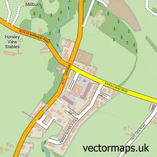
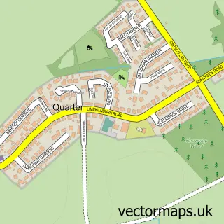
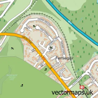
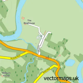
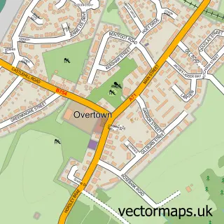
This Larkhall street map is a detailed vector street map covering a 750m x 750m area. Select a larger area to create and download your own vector street map of Larkhall.
The 750-metre map sample for Larkhall covers 481 mapped buildings and approximately 19.7 km of road detail, of which 49 named roads are named. The immediate area includes 1 railway station, 2 GP surgeries, with 3 within 2 miles, 3 pubs and 1 MOT station, with 4 within 2 miles. The wider area around Larkhall features 2 tourism points of interest and 17 food and drink venues. To create a larger or custom map of Larkhall, the map builder lets you define your own coverage area and download editable SVG, PDF and PNG files.
Create a larger editable map of Larkhall
Choose any area you need and generate a high-quality vector map instantly. Perfect for print, planning, design, business and personal use.

This Larkhall street map in Lanarkshire is available as downloadable SVG, PDF and PNG map files, or as a printed map for planning, business, display, education, local information and design work. You can also create a larger custom map area using the map selector.
What this Larkhall map sample shows
Larkhall lies within South Lanarkshire parish, part of Larkhall ward in the South Lanarkshire local authority area. The postcode geography for this area includes the ML postcode area, the ML9 postcode district and the ML9 2 postcode sector. Residents fall under the Lanarkshire for NHS services.
Local features near Larkhall
Within 2 milesAmenities and services in and around Larkhall.
Administrative and postcode information for Larkhall
The local authority covering Larkhall is South Lanarkshire, within the county of Lanarkshire. The settlement lies within Larkhall ward and South Lanarkshire civil parish. The ML9 postcode district and ML9 2 postcode sector serve the immediate area. NHS provision in the area is delivered through Lanarkshire.
Nearby street map samples around Larkhall

More street maps in Lanarkshire
750 metre map area coverage
Boundary, postcode and point of interest information for the 750m x 750m rectangle centred on this sample map.
Boundaries containing map centre
Constituency: Hamilton and Clyde Valley Co Const
District: South Lanarkshire
Icb: Lanarkshire
Postcode District: ML9
Postcode Sector: ML9 1
Ward: Larkhall Ward
Nearby boundaries intersecting sample
Postcode Sector: ML9 2
Postcode coverage
POI category counts
Beauty Salon: 17
Hair Salon: 9
Cafe: 7
Doctor: 7
Indian Restaurant: 7
Beauty And Spa: 6
Charity Organization: 6
Bakery: 5
Barber: 5
Chinese Restaurant: 5
Sample points of interest
- Tax Link
- Nine Design
- Larkhall Thistle FC
- Marie Curie Cancer Care
- Repair Centre
- McWhirters Home
- The Cooperative Food (BF) Larkhall (ERF)
- Munro Neil & Osborne
- Smremapping scotland
- K 4 Komputers
- Carrozzina Baby Boutique
- Clarks Bakers Larkhall
Create a larger editable map of Larkhall
This sample shows only a 750 metre area. To create a larger map of Larkhall, use our map builder to choose your own coverage area, add titles and download editable SVG, PDF and PNG files.
Create a custom map of Larkhall