This Leominster street map is a detailed vector street map covering a 750m x 750m area. Select a larger area to create and download your own vector street map of Leominster.
The 750-metre map sample for Leominster covers 373 mapped buildings and approximately 44.3 km of road detail, of which 41 named roads are named. The immediate area includes 1 school, 1 GP surgery within 2 miles, 11 pubs and 2 MOT stations, with 6 within 2 miles. The wider area around Leominster features 7 tourism points of interest, 28 food and drink venues and 1 hotel. To create a larger or custom map of Leominster, the map builder lets you define your own coverage area and download editable SVG, PDF and PNG files.
Create a larger editable map of Leominster
Choose any area you need and generate a high-quality vector map instantly. Perfect for print, planning, design, business and personal use.

This Leominster street map in Herefordshire is available as downloadable SVG, PDF and PNG map files, or as a printed map for planning, business, display, education, local information and design work. You can also create a larger custom map area using the map selector.
What this Leominster map sample shows
Leominster lies within Leominster Cp parish, part of Leominster South ward in the County Of Herefordshire local authority area. The postcode geography for this area includes the HR postcode area, the HR6 postcode district and the HR6 8 postcode sector. Residents fall under the Nhs Herefordshire And Worcestershire Integrated Care Board for NHS services.
Local features near Leominster
Within 2 milesAmenities and services in and around Leominster.
Administrative and postcode information for Leominster
The local authority covering Leominster is County Of Herefordshire, within the county of Herefordshire. The settlement lies within Leominster South ward and Leominster Cp civil parish. The HR6 postcode district and HR6 8 postcode sector serve the immediate area. NHS provision in the area is delivered through Wye Valley Nhs Trust.
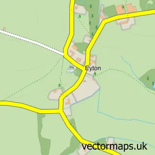
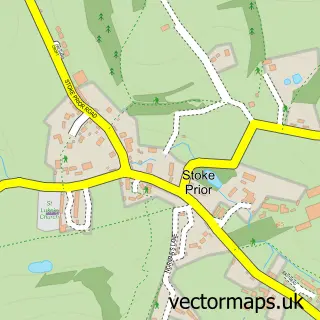
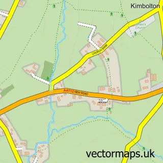
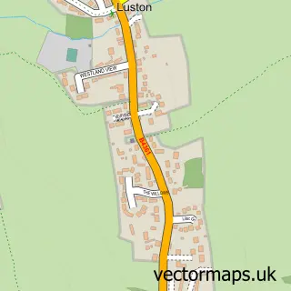
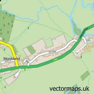
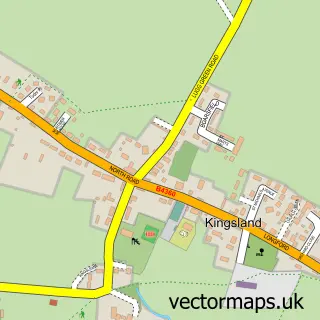
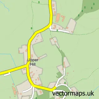
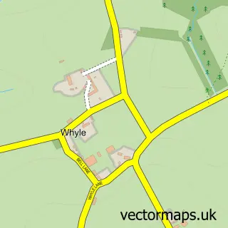
Nearby street map samples around Leominster


More street maps in Herefordshire
750 metre map area coverage
Boundary, postcode and point of interest information for the 750m x 750m rectangle centred on this sample map.
Boundaries containing map centre
Constituency: North Herefordshire Co Const
District: County of Herefordshire
Icb: NHS Herefordshire and Worcestershire ICB
Parish: Leominster CP
Police Force: west mercia
Postcode District: HR6
Postcode Sector: HR6 8
Ward: Leominster East Ward
Nearby boundaries intersecting sample
Parish: Kimbolton CP
Postcode Sector: HR6 0
Ward: Leominster North & Rural Ward, Leominster South Ward
Postcode coverage
POI category counts
Beauty Salon: 14
Antique Store: 12
Flowers And Gifts Shop: 11
Pub: 11
Hair Salon: 9
Coffee Shop: 8
Community Services Non Profits: 8
Professional Services: 7
Real Estate Agent: 7
Assisted Living Facility: 6
Sample points of interest
- Armstrong Rogers & Co
- Cockett and Co. Ltd
- TaxAssist Accountants
- One Stop Print Shop
- Aspired Therapies
- The Priory Church of St Peter and St Paul
- Atticus Leominster
- Drapers Lane Antiques
- Emtiques and Collectables
- Leominster Antique Centre
- Leominster Antique Market
- Minster House Antiques
Create a larger editable map of Leominster
This sample shows only a 750 metre area. To create a larger map of Leominster, use our map builder to choose your own coverage area, add titles and download editable SVG, PDF and PNG files.
Create a custom map of Leominster