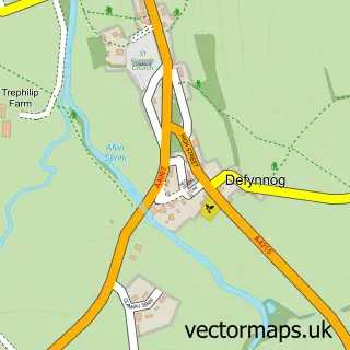
This Libanus street map is a detailed vector street map covering a 750m x 750m area. Select a larger area to create and download your own vector street map of Libanus.
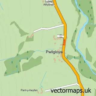
The 750-metre map sample for Libanus covers 78 mapped buildings and approximately 25.9 km of road detail, of which 3 named roads are named. The immediate area includes 1 pub. The wider area around Libanus features 1 tourism point of interest and 1 food and drink venue. To create a larger or custom map of Libanus, the map builder lets you define your own coverage area and download editable SVG, PDF and PNG files.
Create a larger editable map of Libanus
Choose any area you need and generate a high-quality vector map instantly. Perfect for print, planning, design, business and personal use.

This Libanus street map in Powys is available as downloadable SVG, PDF and PNG map files, or as a printed map for planning, business, display, education, local information and design work. You can also create a larger custom map area using the map selector.
What this Libanus map sample shows
Libanus lies within Glyn-Tarell Community parish, part of Talybont-On-Usk ward in the Powys - Powys local authority area. The postcode geography for this area includes the LD postcode area, the LD3 postcode district and the LD3 8 postcode sector. Residents fall under the Powys Teaching Health Board for NHS services.
Local features near Libanus
Within 2 milesAmenities and services in and around Libanus.
Administrative and postcode information for Libanus
Libanus lies within Glyn-Tarell Community parish, part of Talybont-On-Usk ward in the Powys - Powys local authority area. The postcode geography for this area includes the LD postcode area, the LD3 postcode district and the LD3 8 postcode sector. Residents fall under the Powys Teaching Health Board for NHS services.
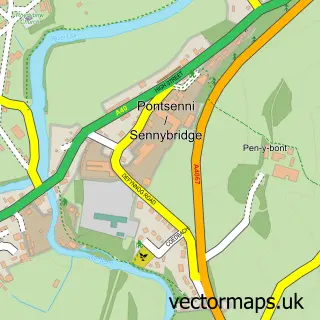
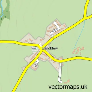
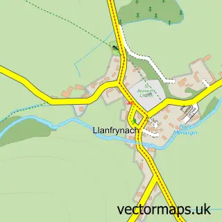
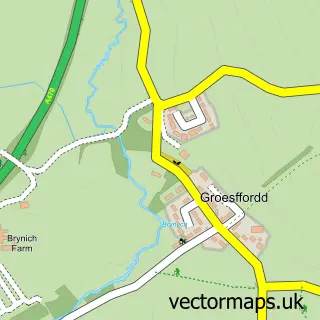
Nearby street map samples around Libanus

More street maps in Powys
750 metre map area coverage
Boundary, postcode and point of interest information for the 750m x 750m rectangle centred on this sample map.
Boundaries containing map centre
Constituency: Brecon, Radnor and Cwm Tawe Co Const
District: Powys - Powys
Icb: Powys Teaching
Parish: Glyn-Tarell Community
Police Force: dyfed-powys
Postcode District: LD3
Postcode Sector: LD3 8
Nearby boundaries intersecting sample
No additional intersecting boundaries found.
Postcode coverage
POI category counts
Assisted Living Facility: 1
Bus Service: 1
Campground: 1
Gun And Ammo: 1
Naturopathic Holistic: 1
Parking: 1
Pub: 1
Sample points of interest
- Milkwood Care
- Brecon Wedding Cars
- Brecon Beacons WILD camping
- Wye Valley Guns
- Daisy Mae Holistic therapies
- A470-Libanus
- The Tair Bull Inn
Create a larger editable map of Libanus
This sample shows only a 750 metre area. To create a larger map of Libanus, use our map builder to choose your own coverage area, add titles and download editable SVG, PDF and PNG files.
Create a custom map of Libanus