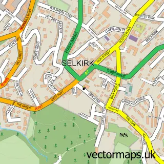
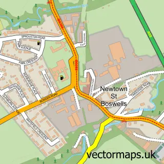
This Lilliesleaf street map is a detailed vector street map covering a 750m x 750m area. Select a larger area to create and download your own vector street map of Lilliesleaf.
The 750-metre map sample for Lilliesleaf covers 109 mapped buildings and approximately 5.0 km of road detail, of which 1 named road are named. The immediate area includes 1 pub. The wider area around Lilliesleaf features 1 tourism point of interest and 2 food and drink venues. To create a larger or custom map of Lilliesleaf, the map builder lets you define your own coverage area and download editable SVG, PDF and PNG files.
Create a larger editable map of Lilliesleaf
Choose any area you need and generate a high-quality vector map instantly. Perfect for print, planning, design, business and personal use.

This Lilliesleaf street map in Roxburgh, Ettrick and Lauderdale is available as downloadable SVG, PDF and PNG map files, or as a printed map for planning, business, display, education, local information and design work. You can also create a larger custom map area using the map selector.
What this Lilliesleaf map sample shows
Lilliesleaf lies within Scottish Borders parish, part of Selkirkshire ward in the Scottish Borders local authority area. The postcode geography for this area includes the TD postcode area, the TD6 postcode district and the TD6 9 postcode sector. Residents fall under the Borders for NHS services.
Local features near Lilliesleaf
Within 2 milesAmenities and services in and around Lilliesleaf.
Administrative and postcode information for Lilliesleaf
Lilliesleaf lies within Scottish Borders parish, part of Selkirkshire ward in the Scottish Borders local authority area. The postcode geography for this area includes the TD postcode area, the TD6 postcode district and the TD6 9 postcode sector. Residents fall under the Borders for NHS services.
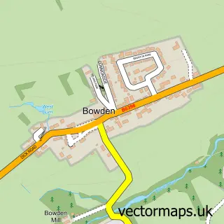
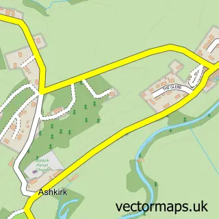
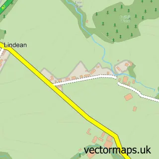
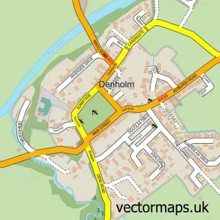
Nearby street map samples around Lilliesleaf

More street maps in Roxburgh, Ettrick and Lauderdale
750 metre map area coverage
Boundary, postcode and point of interest information for the 750m x 750m rectangle centred on this sample map.
Boundaries containing map centre
Constituency: Berwickshire, Roxburgh and Selkirk Co Const
District: Scottish Borders
Icb: Borders
Postcode District: TD6
Postcode Sector: TD6 9
Ward: Selkirkshire Ward
Nearby boundaries intersecting sample
No additional intersecting boundaries found.
Postcode coverage
POI category counts
Accommodation: 1
Arts And Entertainment: 1
Attractions And Activities: 1
Car Rental Agency: 1
Coffee Shop: 1
Elementary School: 1
Music School: 1
Pub: 1
Sandwich Shop: 1
Transportation: 1
Sample points of interest
- Lilliesleaf Barn
- Lilliesleaf
- Leaf Green
- Borders Vintage Experience
- Jammy Coo
- Lilliesleaf Primary School
- Acoustic Piano Services
- The Plough Inn
- Clovenfords village store
- Macdougall, Mr Murray
- Walker Tree Surgery
Create a larger editable map of Lilliesleaf
This sample shows only a 750 metre area. To create a larger map of Lilliesleaf, use our map builder to choose your own coverage area, add titles and download editable SVG, PDF and PNG files.
Create a custom map of Lilliesleaf