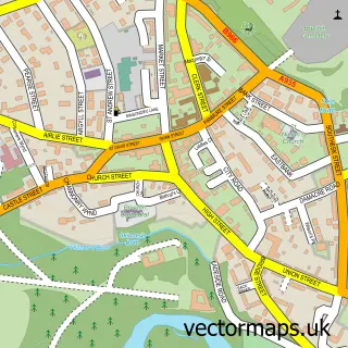
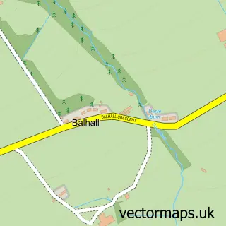
This Little Brechin street map is a detailed vector street map covering a 750m x 750m area. Select a larger area to create and download your own vector street map of Little Brechin.
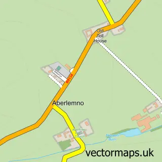
The 750-metre map sample for Little Brechin covers 56 mapped buildings and approximately 10.5 km of road detail, of which 1 named road are named. The immediate area includes 1 GP surgery within 2 miles and 2 MOT stations within 2 miles. To create a larger or custom map of Little Brechin, the map builder lets you define your own coverage area and download editable SVG, PDF and PNG files.
Create a larger editable map of Little Brechin
Choose any area you need and generate a high-quality vector map instantly. Perfect for print, planning, design, business and personal use.

This Little Brechin street map in Angus is available as downloadable SVG, PDF and PNG map files, or as a printed map for planning, business, display, education, local information and design work. You can also create a larger custom map area using the map selector.
What this Little Brechin map sample shows
Little Brechin lies within Angus parish, part of Brechin And Edzell ward in the Angus local authority area. The postcode geography for this area includes the DD postcode area, the DD9 postcode district and the DD9 6 postcode sector. Residents fall under the Tayside for NHS services.
Local features near Little Brechin
Within 2 milesAmenities and services in and around Little Brechin.
Administrative and postcode information for Little Brechin
Little Brechin lies within Angus parish, part of Brechin And Edzell ward in the Angus local authority area. The postcode geography for this area includes the DD postcode area, the DD9 postcode district and the DD9 6 postcode sector. Residents fall under the Tayside for NHS services.
Nearby street map samples around Little Brechin

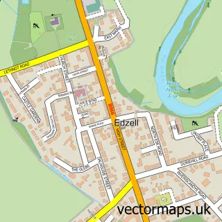
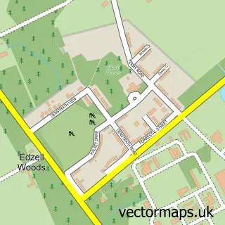
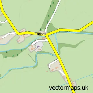
More street maps in Angus
750 metre map area coverage
Boundary, postcode and point of interest information for the 750m x 750m rectangle centred on this sample map.
Boundaries containing map centre
Constituency: Angus and Perthshire Glens Co Const
District: Angus
Icb: Tayside
Postcode District: DD9
Postcode Sector: DD9 6
Ward: Brechin and Edzell Ward
Nearby boundaries intersecting sample
Postcode Sector: DD9 7
Postcode coverage
POI category counts
Post Office: 3
Freight And Cargo Service: 2
Agricultural Service: 1
Pet Boarding: 1
Sample points of interest
- George Dalgarno and Sons
- F B Murray Transport
- FB Murray Ltd
- Highbrea Boarding Kennels
- Little Brechin Post Office
- Post Office
- Post Office
Create a larger editable map of Little Brechin
This sample shows only a 750 metre area. To create a larger map of Little Brechin, use our map builder to choose your own coverage area, add titles and download editable SVG, PDF and PNG files.
Create a custom map of Little Brechin