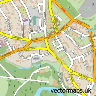
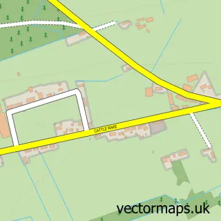
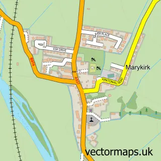
This Edzell street map is a detailed vector street map covering a 750m x 750m area. Select a larger area to create and download your own vector street map of Edzell.
The 750-metre map sample for Edzell covers 184 mapped buildings and approximately 13.2 km of road detail, of which 25 named roads are named. The immediate area includes 1 GP surgery and 1 MOT station. The wider area around Edzell features 4 food and drink venues and 6 hotels. To create a larger or custom map of Edzell, the map builder lets you define your own coverage area and download editable SVG, PDF and PNG files.
Create a larger editable map of Edzell
Choose any area you need and generate a high-quality vector map instantly. Perfect for print, planning, design, business and personal use.

This Edzell street map in Angus is available as downloadable SVG, PDF and PNG map files, or as a printed map for planning, business, display, education, local information and design work. You can also create a larger custom map area using the map selector.
What this Edzell map sample shows
Edzell lies within Angus parish, part of Brechin And Edzell ward in the Angus local authority area. The postcode geography for this area includes the DD postcode area, the DD9 postcode district and the DD9 7 postcode sector. Residents fall under the Tayside for NHS services.
Local features near Edzell
Within 2 milesAmenities and services in and around Edzell.
Administrative and postcode information for Edzell
The local authority covering Edzell is Angus, within the county of Angus. The settlement lies within Brechin And Edzell ward and Angus civil parish. The DD9 postcode district and DD9 7 postcode sector serve the immediate area. NHS provision in the area is delivered through Tayside.
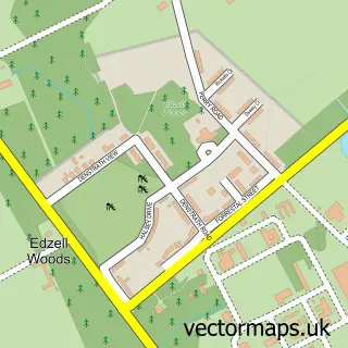
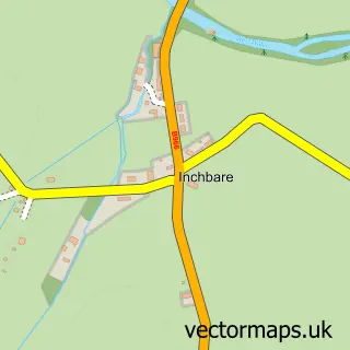
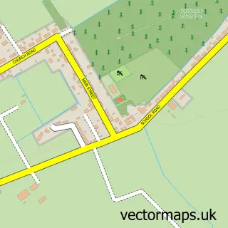
Nearby street map samples around Edzell

More street maps in Angus
750 metre map area coverage
Boundary, postcode and point of interest information for the 750m x 750m rectangle centred on this sample map.
Boundaries containing map centre
Constituency: Angus and Perthshire Glens Co Const
District: Angus
Icb: Tayside
Postcode District: DD9
Postcode Sector: DD9 7
Ward: Brechin and Edzell Ward
Nearby boundaries intersecting sample
Constituency: West Aberdeenshire and Kincardine Co Const
District: Aberdeenshire
Icb: Grampian
Ward: Mearns Ward
Postcode coverage
POI category counts
Hotel: 6
Cafe: 4
Bed And Breakfast: 3
Caterer: 2
Convenience Store: 2
Shipping Center: 2
Sports And Recreation Venue: 2
Thrift Store: 2
Art Gallery: 1
Arts And Crafts: 1
Sample points of interest
- The Wirren Gallery
- edzell_popup_shop
- The Glens Care Home
- The Muir Garage
- Beagle and Crumb
- Bank of Scotland
- Fiona at number 8
- Alexandra Lodge
- Doune House
- North Esk Lodge & Rose Cottage
- Bel's Butchers
- Edzell Tweed Warehouse
Create a larger editable map of Edzell
This sample shows only a 750 metre area. To create a larger map of Edzell, use our map builder to choose your own coverage area, add titles and download editable SVG, PDF and PNG files.
Create a custom map of Edzell