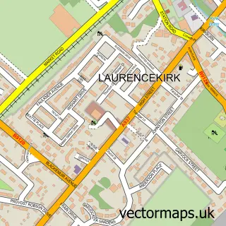
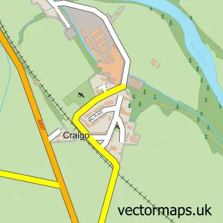
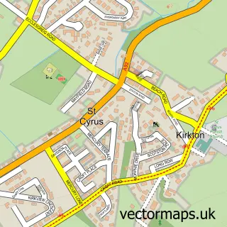
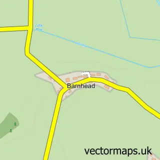
This Marykirk street map is a detailed vector street map covering a 750m x 750m area. Select a larger area to create and download your own vector street map of Marykirk.
The 750-metre map sample for Marykirk covers 69 mapped buildings and approximately 8.4 km of road detail, of which 5 named roads are named. The wider area around Marykirk features 1 tourism point of interest and 3 hotels. To create a larger or custom map of Marykirk, the map builder lets you define your own coverage area and download editable SVG, PDF and PNG files.
Create a larger editable map of Marykirk
Choose any area you need and generate a high-quality vector map instantly. Perfect for print, planning, design, business and personal use.

This Marykirk street map in Kincardineshire is available as downloadable SVG, PDF and PNG map files, or as a printed map for planning, business, display, education, local information and design work. You can also create a larger custom map area using the map selector.
What this Marykirk map sample shows
Marykirk lies within Aberdeenshire parish, part of Mearns ward in the Aberdeenshire local authority area. The postcode geography for this area includes the AB postcode area, the AB30 postcode district and the AB30 1 postcode sector. Residents fall under the Grampian for NHS services.
Local features near Marykirk
Within 2 milesAmenities and services in and around Marykirk.
Administrative and postcode information for Marykirk
Marykirk lies within Aberdeenshire parish, part of Mearns ward in the Aberdeenshire local authority area. The postcode geography for this area includes the AB postcode area, the AB30 postcode district and the AB30 1 postcode sector. Residents fall under the Grampian for NHS services.
Nearby street map samples around Marykirk

More street maps in Kincardineshire
750 metre map area coverage
Boundary, postcode and point of interest information for the 750m x 750m rectangle centred on this sample map.
Boundaries containing map centre
Constituency: West Aberdeenshire and Kincardine Co Const
District: Aberdeenshire
Icb: Grampian
Postcode District: AB30
Postcode Sector: AB30 1
Ward: Mearns Ward
Nearby boundaries intersecting sample
Constituency: Angus and Perthshire Glens Co Const
District: Angus
Icb: Tayside
Postcode District: DD10
Postcode Sector: DD10 9
Ward: Montrose and District Ward
Postcode coverage
POI category counts
Hotel: 3
Active Life: 1
Building Supply Store: 1
Contractor: 1
Dog Walkers: 1
Elementary School: 1
Landmark And Historical Building: 1
Pet Services: 1
Post Office: 1
Sample points of interest
- North Esk Canterland Fishings
- Frank Walker Joiners Ltd
- Warmfront Heating Services Ltd
- Fit and Fun Pet Care
- Marykirk Primary School
- Marykirk Post Office
- Post Office-Marykirk
- The Stables Bar, Marykirk hotel
- Marykirk
- Marykirk Dog Training Club
- Post Office
Create a larger editable map of Marykirk
This sample shows only a 750 metre area. To create a larger map of Marykirk, use our map builder to choose your own coverage area, add titles and download editable SVG, PDF and PNG files.
Create a custom map of Marykirk