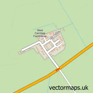
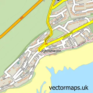
This Laurencekirk street map is a detailed vector street map covering a 750m x 750m area. Select a larger area to create and download your own vector street map of Laurencekirk.
The 750-metre map sample for Laurencekirk covers 193 mapped buildings and approximately 20.1 km of road detail, of which 42 named roads are named. The immediate area includes 1 GP surgery within 2 miles, 2 pubs and 2 MOT stations within 2 miles. The wider area around Laurencekirk features 3 tourism points of interest, 6 food and drink venues and 1 hotel. To create a larger or custom map of Laurencekirk, the map builder lets you define your own coverage area and download editable SVG, PDF and PNG files.
Create a larger editable map of Laurencekirk
Choose any area you need and generate a high-quality vector map instantly. Perfect for print, planning, design, business and personal use.

This Laurencekirk street map in Kincardineshire is available as downloadable SVG, PDF and PNG map files, or as a printed map for planning, business, display, education, local information and design work. You can also create a larger custom map area using the map selector.
What this Laurencekirk map sample shows
Laurencekirk lies within Aberdeenshire parish, part of Mearns ward in the Aberdeenshire local authority area. The postcode geography for this area includes the AB postcode area, the AB30 postcode district and the AB30 1 postcode sector. Residents fall under the Grampian for NHS services.
Local features near Laurencekirk
Within 2 milesAmenities and services in and around Laurencekirk.
Administrative and postcode information for Laurencekirk
Laurencekirk lies within Aberdeenshire parish, part of Mearns ward in the Aberdeenshire local authority area. The postcode geography for this area includes the AB postcode area, the AB30 postcode district and the AB30 1 postcode sector. Residents fall under the Grampian for NHS services.
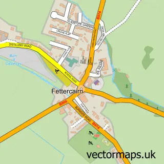
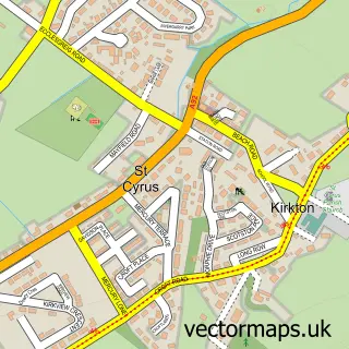
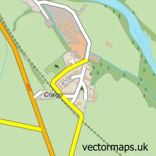
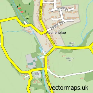
Nearby street map samples around Laurencekirk

More street maps in Kincardineshire
750 metre map area coverage
Boundary, postcode and point of interest information for the 750m x 750m rectangle centred on this sample map.
Boundaries containing map centre
Constituency: West Aberdeenshire and Kincardine Co Const
District: Aberdeenshire
Icb: Grampian
Postcode District: AB30
Postcode Sector: AB30 1
Ward: Mearns Ward
Nearby boundaries intersecting sample
No additional intersecting boundaries found.
Postcode coverage
POI category counts
Beauty Salon: 6
Professional Services: 6
Automotive Repair: 4
Barber: 3
Beauty And Spa: 3
Church Cathedral: 3
Package Locker: 3
Scout Hall: 3
Advertising Agency: 2
Coffee Shop: 2
Sample points of interest
- Crucial Visual Communication Consultancy
- Mistletoe
- Scot Medical
- Dizzy Rascals
- British Red Cross
- James S T Liddle
- Looking Fine Valeting and Detailing
- Central Garage Laurencekirk
- J & P Dunn
- John Mitchell Motors
- SJ Motors Limited
- The Royal Bank of Scotland
Create a larger editable map of Laurencekirk
This sample shows only a 750 metre area. To create a larger map of Laurencekirk, use our map builder to choose your own coverage area, add titles and download editable SVG, PDF and PNG files.
Create a custom map of Laurencekirk