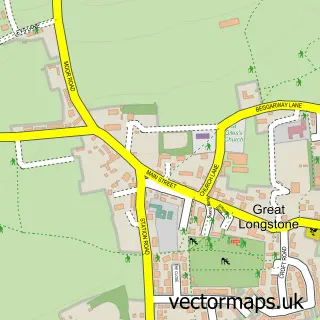
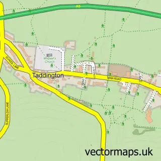
This Little Longstone street map is a detailed vector street map covering a 750m x 750m area. Select a larger area to create and download your own vector street map of Little Longstone.
The 750-metre map sample for Little Longstone covers 44 mapped buildings and approximately 4.6 km of road detail, of which 1 named road are named. The immediate area includes 2 pubs. The wider area around Little Longstone features 2 food and drink venues and 2 campsites within 2 miles. To create a larger or custom map of Little Longstone, the map builder lets you define your own coverage area and download editable SVG, PDF and PNG files.
Create a larger editable map of Little Longstone
Choose any area you need and generate a high-quality vector map instantly. Perfect for print, planning, design, business and personal use.

This Little Longstone street map in Derbyshire is available as downloadable SVG, PDF and PNG map files, or as a printed map for planning, business, display, education, local information and design work. You can also create a larger custom map area using the map selector.
What this Little Longstone map sample shows
Little Longstone lies within Little Longstone Cp parish, part of Litton And Longstone ward in the Derbyshire Dales District local authority area. The postcode geography for this area includes the DE postcode area, the DE45 postcode district and the DE45 1 postcode sector. Residents fall under the Nhs Derby And Derbyshire Integrated Care Board for NHS services.
Local features near Little Longstone
Within 2 milesAmenities and services in and around Little Longstone.
Administrative and postcode information for Little Longstone
Little Longstone lies within Little Longstone Cp parish, part of Litton And Longstone ward in the Derbyshire Dales District local authority area. The postcode geography for this area includes the DE postcode area, the DE45 postcode district and the DE45 1 postcode sector. Residents fall under the Nhs Derby And Derbyshire Integrated Care Board for NHS services.
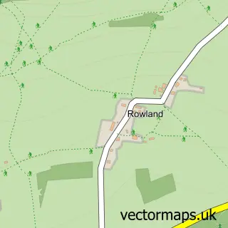
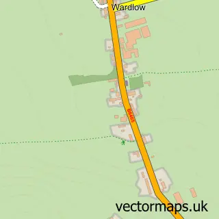
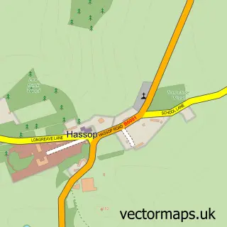
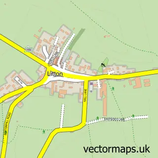
Nearby street map samples around Little Longstone

More street maps in Derbyshire
750 metre map area coverage
Boundary, postcode and point of interest information for the 750m x 750m rectangle centred on this sample map.
Boundaries containing map centre
Constituency: Derbyshire Dales Co Const
County: Derbyshire County
District: Derbyshire Dales District
Icb: NHS Derby and Derbyshire ICB
Parish: Little Longstone CP
Police Force: derbyshire
Postcode District: DE45
Postcode Sector: DE45 1
Ward: Calver & Longstone Ward
Nearby boundaries intersecting sample
Parish: Ashford in the Water CP
Ward: Bakewell Ward
Postcode coverage
POI category counts
Pub: 2
Bed And Breakfast: 1
Church Cathedral: 1
Family Practice: 1
Holiday Rental Home: 1
Professional Services: 1
Sample points of interest
- Little Longstone Barns
- Little Longstone Congregational Chapel
- Prudhoe Medical Group
- Longstone Holiday Cottages
- Gone To A Wild Place
- Packhorse Inn
- The Packhorse Inn
Create a larger editable map of Little Longstone
This sample shows only a 750 metre area. To create a larger map of Little Longstone, use our map builder to choose your own coverage area, add titles and download editable SVG, PDF and PNG files.
Create a custom map of Little Longstone