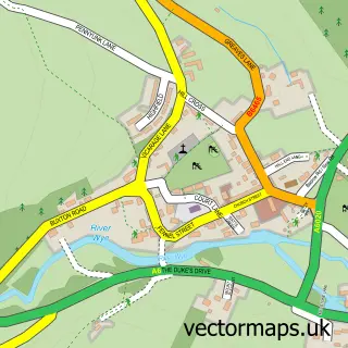
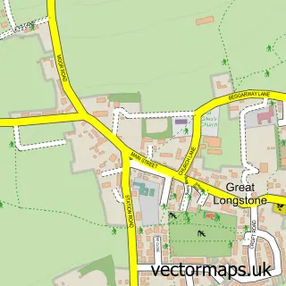
This Bakewell street map is a detailed vector street map covering a 750m x 750m area. Select a larger area to create and download your own vector street map of Bakewell.
The 750-metre map sample for Bakewell covers 346 mapped buildings and approximately 30.8 km of road detail, of which 43 named roads are named. The immediate area includes 2 schools, 1 GP surgery, 9 pubs and 1 MOT station, with 2 within 2 miles. The wider area around Bakewell features 12 tourism points of interest, 36 food and drink venues and 7 hotels. To create a larger or custom map of Bakewell, the map builder lets you define your own coverage area and download editable SVG, PDF and PNG files.
Create a larger editable map of Bakewell
Choose any area you need and generate a high-quality vector map instantly. Perfect for print, planning, design, business and personal use.

This Bakewell street map in Derbyshire is available as downloadable SVG, PDF and PNG map files, or as a printed map for planning, business, display, education, local information and design work. You can also create a larger custom map area using the map selector.
What this Bakewell map sample shows
Bakewell lies within Bakewell Cp parish, part of Bakewell ward in the Derbyshire Dales District local authority area. The postcode geography for this area includes the DE postcode area, the DE45 postcode district and the DE45 1 postcode sector. Residents fall under the Nhs Derby And Derbyshire Integrated Care Board for NHS services.
Local features near Bakewell
Within 2 milesAmenities and services in and around Bakewell.
Administrative and postcode information for Bakewell
The local authority covering Bakewell is Derbyshire Dales District, within the county of Derbyshire. The settlement lies within Bakewell ward and Bakewell Cp civil parish. The DE45 postcode district and DE45 1 postcode sector serve the immediate area. NHS provision in the area is delivered through Chesterfield Royal Hospital Nhs Foundation Trust.
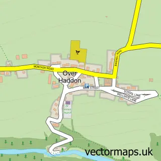
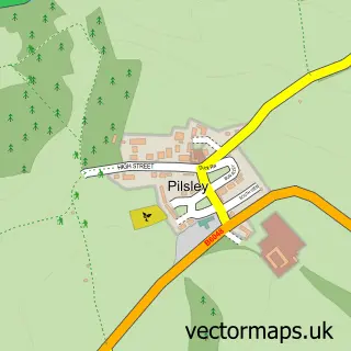
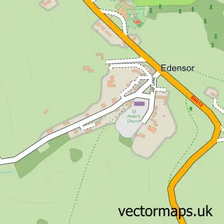
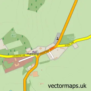
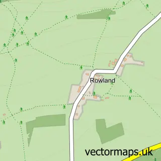
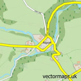
Nearby street map samples around Bakewell

More street maps in Derbyshire
750 metre map area coverage
Boundary, postcode and point of interest information for the 750m x 750m rectangle centred on this sample map.
Boundaries containing map centre
Constituency: Derbyshire Dales Co Const
County: Derbyshire County
District: Derbyshire Dales District
Icb: NHS Derby and Derbyshire ICB
Parish: Bakewell CP
Police Force: derbyshire
Postcode District: DE45
Postcode Sector: DE45 1
Ward: Bakewell Ward
Nearby boundaries intersecting sample
No additional intersecting boundaries found.
Postcode coverage
POI category counts
Cafe: 16
Clothing Store: 15
Pub: 9
Banks: 8
Coffee Shop: 7
Hair Salon: 7
Hotel: 7
Flowers And Gifts Shop: 6
Jewelry Store: 6
Professional Services: 6
Sample points of interest
- Cobblers Rest
- Allen, West and Foster Chartered Accountants
- David F Lee
- Hotel Resources
- Helen's Trust
- Bakewell Antiques & Works of Art
- Bluebell Wood Hospice Shop
- Cancer Research UK
- Konstantin Antiques Ltd.
- Rutland Arms Antiques Centre
- Richard Mundy Building Design
- Smith and Roper Architects Surveyors
Create a larger editable map of Bakewell
This sample shows only a 750 metre area. To create a larger map of Bakewell, use our map builder to choose your own coverage area, add titles and download editable SVG, PDF and PNG files.
Create a custom map of Bakewell