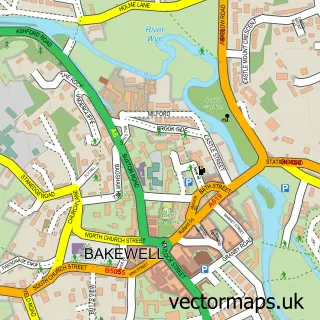
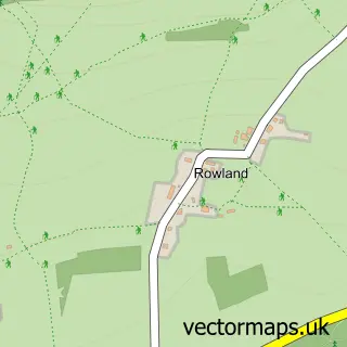
This Pilsley street map is a detailed vector street map covering a 750m x 750m area. Select a larger area to create and download your own vector street map of Pilsley.
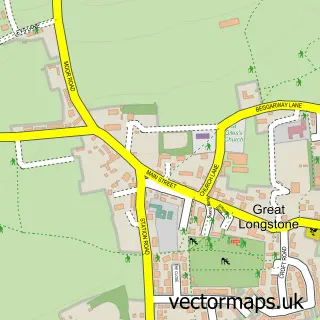
The 750-metre map sample for Pilsley covers 61 mapped buildings and approximately 22.9 km of road detail, of which 5 named roads are named. The immediate area includes 1 school, 1 GP surgery within 2 miles, 1 pub and 2 MOT stations within 2 miles. The wider area around Pilsley features 1 tourism point of interest, 1 food and drink venue and 2 hotels. To create a larger or custom map of Pilsley, the map builder lets you define your own coverage area and download editable SVG, PDF and PNG files.
Create a larger editable map of Pilsley
Choose any area you need and generate a high-quality vector map instantly. Perfect for print, planning, design, business and personal use.

This Pilsley street map in Derbyshire is available as downloadable SVG, PDF and PNG map files, or as a printed map for planning, business, display, education, local information and design work. You can also create a larger custom map area using the map selector.
What this Pilsley map sample shows
Pilsley lies within Edensor Cp parish, part of Chatsworth ward in the Derbyshire Dales District local authority area. The postcode geography for this area includes the DE postcode area, the DE45 postcode district and the DE45 1 postcode sector. Residents fall under the Nhs Derby And Derbyshire Integrated Care Board for NHS services.
Local features near Pilsley
Within 2 milesAmenities and services in and around Pilsley.
Administrative and postcode information for Pilsley
Pilsley lies within Edensor Cp parish, part of Chatsworth ward in the Derbyshire Dales District local authority area. The postcode geography for this area includes the DE postcode area, the DE45 postcode district and the DE45 1 postcode sector. Residents fall under the Nhs Derby And Derbyshire Integrated Care Board for NHS services.
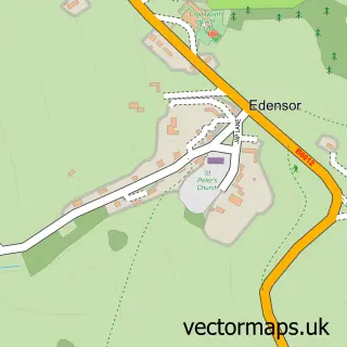
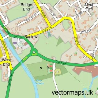
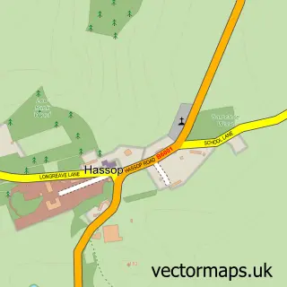
Nearby street map samples around Pilsley

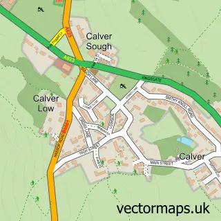
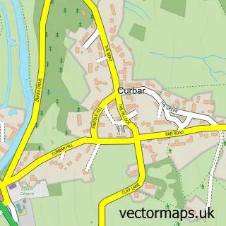
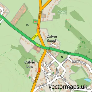
More street maps in Derbyshire
750 metre map area coverage
Boundary, postcode and point of interest information for the 750m x 750m rectangle centred on this sample map.
Boundaries containing map centre
Constituency: Derbyshire Dales Co Const
County: Derbyshire County
District: Derbyshire Dales District
Icb: NHS Derby and Derbyshire ICB
Parish: Pilsley CP
Police Force: derbyshire
Postcode District: DE45
Postcode Sector: DE45 1
Ward: Chatsworth Ward
Nearby boundaries intersecting sample
Parish: Edensor CP
Postcode coverage
POI category counts
Business Management Services: 2
Hotel: 2
Advertising Agency: 1
Art Gallery: 1
Bridal Shop: 1
Financial Advising: 1
Gastropub: 1
Grocery Store: 1
Interior Design: 1
Landmark And Historical Building: 1
Sample points of interest
- On Tap Communications Group
- Richard Whittlestone Wildlife Gallery
- Alexandra Anne
- Pilsley Post Office
- Post Office-Pilsley
- Spear Financial Ltd
- Devonshire Arms
- Chatsworth Farm Shop
- Devonshire Arms Pilsley
- The Pilsley Inn
- Penrose Interiors Ltd
- Pilsley
Create a larger editable map of Pilsley
This sample shows only a 750 metre area. To create a larger map of Pilsley, use our map builder to choose your own coverage area, add titles and download editable SVG, PDF and PNG files.
Create a custom map of Pilsley