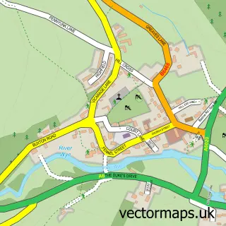
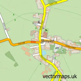
This Over Haddon street map is a detailed vector street map covering a 750m x 750m area. Select a larger area to create and download your own vector street map of Over Haddon.
The 750-metre map sample for Over Haddon covers 100 mapped buildings and approximately 12.4 km of road detail, of which 5 named roads are named. The immediate area includes 1 GP surgery within 2 miles, 1 pub and 3 MOT stations within 2 miles. The wider area around Over Haddon features 1 food and drink venue, 1 hotel and 1 campsite within 2 miles. To create a larger or custom map of Over Haddon, the map builder lets you define your own coverage area and download editable SVG, PDF and PNG files.
Create a larger editable map of Over Haddon
Choose any area you need and generate a high-quality vector map instantly. Perfect for print, planning, design, business and personal use.

This Over Haddon street map in Derbyshire is available as downloadable SVG, PDF and PNG map files, or as a printed map for planning, business, display, education, local information and design work. You can also create a larger custom map area using the map selector.
What this Over Haddon map sample shows
Over Haddon lies within Over Haddon Cp parish, part of Bakewell ward in the Derbyshire Dales District local authority area. The postcode geography for this area includes the DE postcode area, the DE45 postcode district and the DE45 1 postcode sector. Residents fall under the Nhs Derby And Derbyshire Integrated Care Board for NHS services.
Local features near Over Haddon
Within 2 milesAmenities and services in and around Over Haddon.
Administrative and postcode information for Over Haddon
The local authority covering Over Haddon is Derbyshire Dales District, within the county of Derbyshire. The settlement lies within Bakewell ward and Over Haddon Cp civil parish. The DE45 postcode district and DE45 1 postcode sector serve the immediate area. NHS provision in the area is delivered through Chesterfield Royal Hospital Nhs Foundation Trust.
Nearby street map samples around Over Haddon
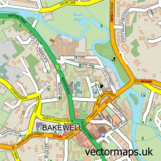

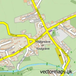
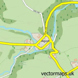
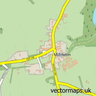
More street maps in Derbyshire
750 metre map area coverage
Boundary, postcode and point of interest information for the 750m x 750m rectangle centred on this sample map.
Boundaries containing map centre
Constituency: Derbyshire Dales Co Const
County: Derbyshire County
District: Derbyshire Dales District
Icb: NHS Derby and Derbyshire ICB
Parish: Over Haddon CP
Police Force: derbyshire
Postcode District: DE45
Postcode Sector: DE45 1
Ward: Bakewell Ward
Nearby boundaries intersecting sample
Parish: Youlgreave CP
Ward: Youlgrave Ward
Postcode coverage
POI category counts
Holiday Rental Home: 2
Bed And Breakfast: 1
Butcher Shop: 1
Charity Organization: 1
Church Cathedral: 1
Community Center: 1
Delicatessen: 1
Electronics: 1
Hotel: 1
Parking: 1
Sample points of interest
- The Lathkil Hotel
- New Close Farm
- Hereditary Breast Cancer Helpline
- St Anne's Church
- Over Haddon Village Hall
- Baslow Village Spar Shop
- Wirelesshomes
- Church Barn Over Haddon
- Lower Folds
- The Garden Bed & Breakfast. Over Haddon, Bakewell, Derbyshire DE45 1JE
- Over Haddon Car Park
- Brocklehurst Property Maintenance
Create a larger editable map of Over Haddon
This sample shows only a 750 metre area. To create a larger map of Over Haddon, use our map builder to choose your own coverage area, add titles and download editable SVG, PDF and PNG files.
Create a custom map of Over Haddon