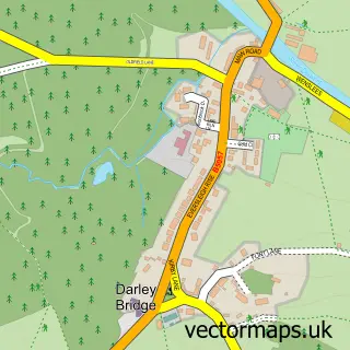
This Stanton-in-Peak street map is a detailed vector street map covering a 750m x 750m area. Select a larger area to create and download your own vector street map of Stanton-in-Peak.
The 750-metre map sample for Stanton-in-Peak covers 90 mapped buildings and approximately 12.9 km of road detail, of which 9 named roads are named. The immediate area includes 1 school, 1 pub and 3 MOT stations within 2 miles. The wider area around Stanton-in-Peak features 1 tourism point of interest, 1 food and drink venue and 1 campsite within 2 miles. To create a larger or custom map of Stanton-in-Peak, the map builder lets you define your own coverage area and download editable SVG, PDF and PNG files.
Create a larger editable map of Stanton-in-Peak
Choose any area you need and generate a high-quality vector map instantly. Perfect for print, planning, design, business and personal use.

This Stanton-in-Peak street map in Derbyshire is available as downloadable SVG, PDF and PNG map files, or as a printed map for planning, business, display, education, local information and design work. You can also create a larger custom map area using the map selector.
What this Stanton-in-Peak map sample shows
Stanton-in-Peak lies within Stanton Cp parish, part of Stanton ward in the Derbyshire Dales District local authority area. The postcode geography for this area includes the DE postcode area, the DE4 postcode district and the DE4 2 postcode sector. Residents fall under the Nhs Derby And Derbyshire Integrated Care Board for NHS services.
Local features near Stanton-in-Peak
Within 2 milesAmenities and services in and around Stanton-in-Peak.
Administrative and postcode information for Stanton-in-Peak
The local authority covering Stanton-in-Peak is Derbyshire Dales District, within the county of Derbyshire. The settlement lies within Stanton ward and Stanton Cp civil parish. The DE4 postcode district and DE4 2 postcode sector serve the immediate area. NHS provision in the area is delivered through Chesterfield Royal Hospital Nhs Foundation Trust.
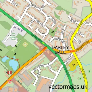
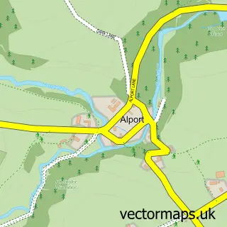
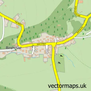
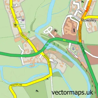
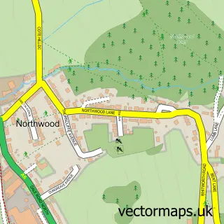
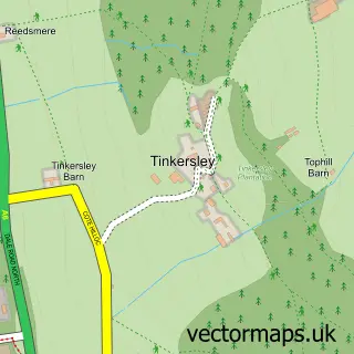
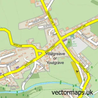
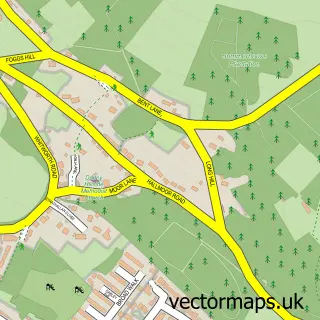
Nearby street map samples around Stanton-in-Peak

More street maps in Derbyshire
750 metre map area coverage
Boundary, postcode and point of interest information for the 750m x 750m rectangle centred on this sample map.
Boundaries containing map centre
Constituency: Derbyshire Dales Co Const
County: Derbyshire County
District: Derbyshire Dales District
Icb: NHS Derby and Derbyshire ICB
Parish: Stanton CP
Police Force: derbyshire
Postcode District: DE4
Postcode Sector: DE4 2
Ward: Youlgrave Ward
Nearby boundaries intersecting sample
No additional intersecting boundaries found.
Postcode coverage
POI category counts
Anglican Church: 1
Beauty And Spa: 1
Chimney Sweep: 1
Church Cathedral: 1
Counseling And Mental Health: 1
Elementary School: 1
Hiking Trail: 1
Landmark And Historical Building: 1
Pub: 1
Shipping Center: 1
Sample points of interest
- Holy Trinity Church, Stanton-in-Peak
- Beauty Space
- Heritage Stoneworks
- Holy Trinity Church, Stanton-in-Peak
- Calm Space Counselling
- Stanton in Peak C of E Primary School
- Nine Ladies Stone Circle
- Stanton Hall, Stanton in Peak
- The Flying Childers Inn
- Stanton In The Peak Post Office
Create a larger editable map of Stanton-in-Peak
This sample shows only a 750 metre area. To create a larger map of Stanton-in-Peak, use our map builder to choose your own coverage area, add titles and download editable SVG, PDF and PNG files.
Create a custom map of Stanton-in-Peak